AdBlock Detected

It looks like you're using an ad-blocker!

Our team work realy hard to produce quality content on this website and we noticed you have ad-blocking enabled.

Ridge to Rainforest Track Strickland State Forest
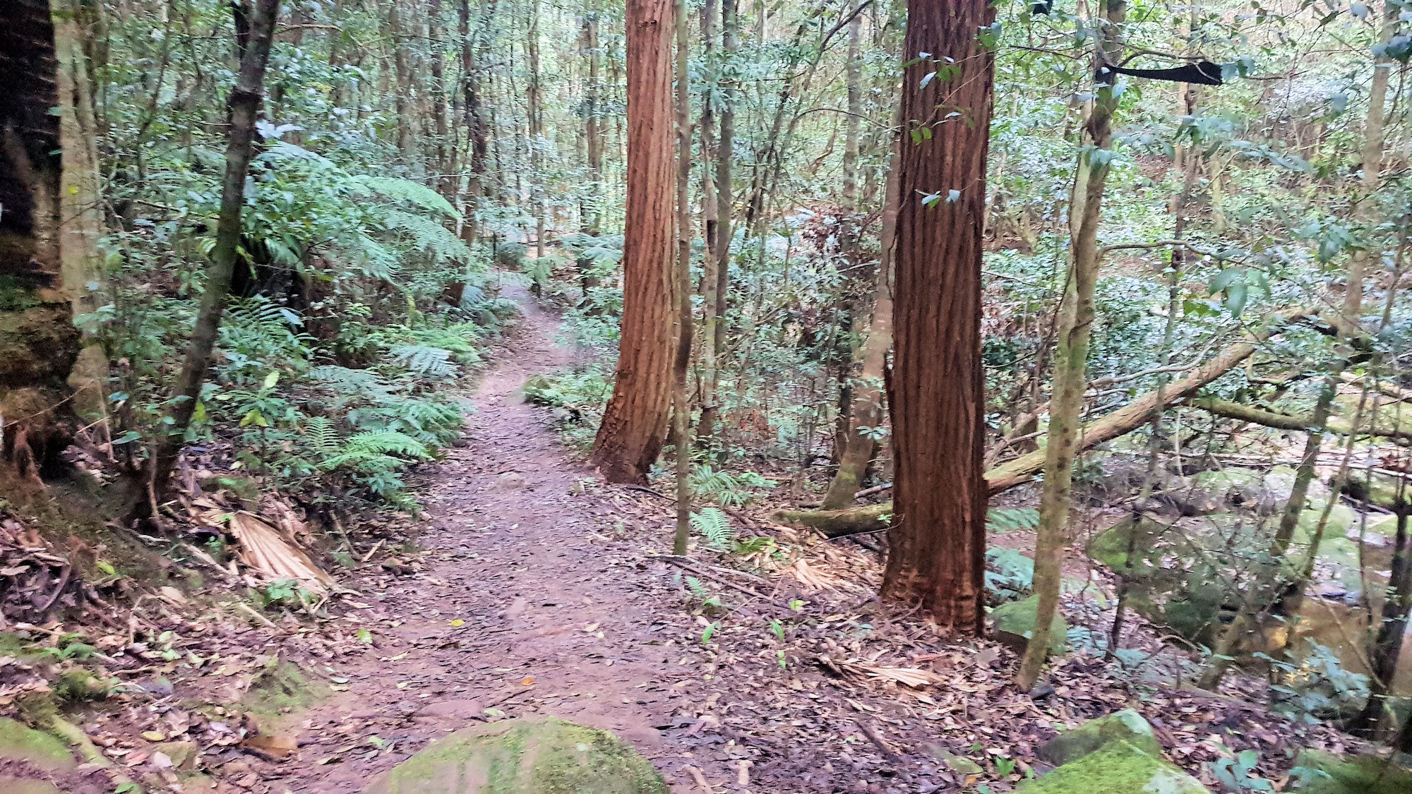
Track Towards the Bottom the the Walk

Ridge to Rainforest Track Strickland State Forest

Getting There

Located in the Strickland State Forest, the Ridge to Rainforest Track is a great walk winding its way through the dry forest along the ridge into the gully rainforest along the creek. Mossy rocks, statuesque trees and a planted grove of Hoop Pine are featured along the track, making the walk interesting as the surrounding forest changes.

Banksia Picnic Area

The track starts near the entrance to the Banksia Picnic Area, where a large car park and toilet facilities sit next to covered picnic areas. Several information boards show the various tracks in the area, along with some of the wildlife you might see along the way.

Alternatively the track can be walked from the Stones Creek car park up to the Banksia Picnic Area. From here you are able to return to the starting point via the Stones Creek track.

Ridge to Rainforest Track

The well formed track runs downhill through the forest, which has a changing vista as it changes from dry to rain forest. Several small creeks cross the track, with each having bridges or stone culverts to aid crossing.

Descending from the ridge the ground rises on your left and consists of mossy rocks and boulders.

The track ends at the Stones Creek car park, where you can choose to return the way you came or use the Stones Creek track to return to the car park. We took the second option, so that we walked a different track on the way back. It’s a steep uphill climb but an enjoyable walk.

Alternatively, the Bellbird and Arboretum tracks start near the lower carpark if you want to extend the length of the walk.

What did We Think?

This was a very enjoyable walk, because of the varying vegetation and well formed track. Hiking through the while listening to the birds was very relaxing.

To see what else there is to do in New South Wales, please see some of our other stories.

Our photos are available for purchase on

Wyrrabalong National Park

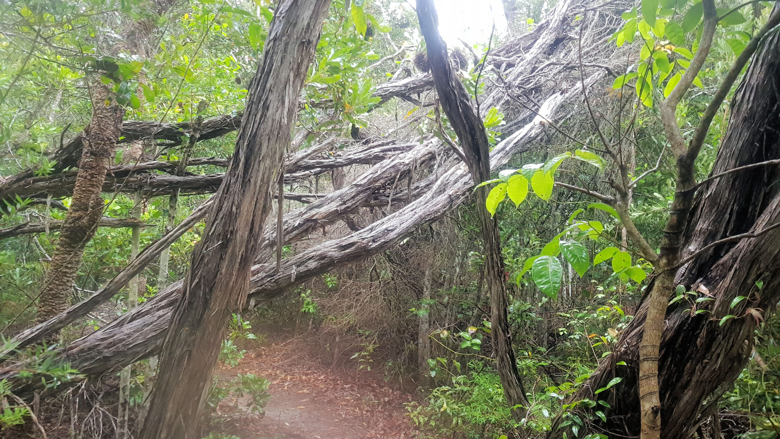
Fallen Trees on the Lilli Pilli Loop Track

Wyrrabalong National Park

Getting There and Parking

Located on the Central Coast Highway near Norah Head, Wyrrabalong National Park is an hours drive south of Newcastle. We parked in a small car park just past the Pelican Beach Road turn-off, which was small, but well maintained. Signs and an information board provide information about the park and its tacks.

Lilli Pilli Loop Track

The day we visited was wet and overcast, but this added to the fun of the walk, making the trails very atmospheric. The Lilli Pilli Loop Trail meanders through coastal rain forest along narrow bush tracks. The tracks are often made of sand, but have been reinforced with wooden boards to prevent erosion of this fragile environment.

This is one of the few remaining intact areas of rainforest on the Central Coast, which makes it a very special place. An information board on the lake side of the track details the forest and its wildlife.

The damp conditions encouraged mushroom to grow on dead trees which let us see some beautiful ones as we walked by.

Red Gum Loop Track

The Lilli Pilli Loop Track joins the Red Gum Loop, at this point you can either return to your car or continue on. We chose to walk the new track, because the vegetation changes to red gum forest, from the rainforest we had just walked through.

The path down to the track is steep, but reinforce with sturdy wooden sleepers, making it safe to walk down. This also prevents erosion of the sand dune, so is environmentally safe too.

The forest in this area is more open with less undergrowth, making views of Tuggerah Lake possible in places. Lookouts have been built in places where the views are best, but it was overcast during our visit, so the lake was not visible. On a clear day, the view would be great.

What Did We Think of Wyrrabalong National Park?

Both of the loop tracks in the Wyrrabalong National Park were fun to do, because of the different vegetation. We were also pleased we did it while it was wet and damp, as this added to the fun and the environment we passed through.

Ghosties Beach and the Rainbow Cave

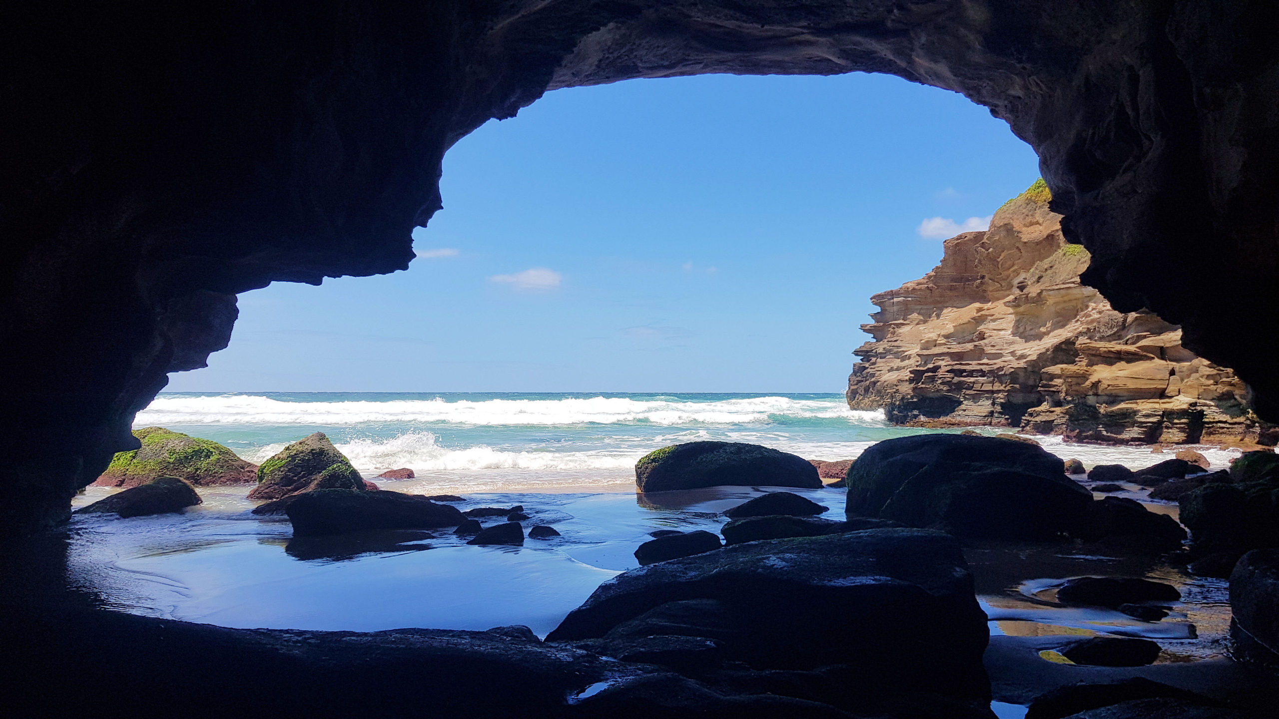
Looking Out the Sea Cave Entrance

Ghosties Beach and the Rainbow Cave

Getting There and Parking

Located in Catherine Hill Bay South of Newcastle, Ghosties Beach and the Rainbow Cave (also called Ghosties Beach Cave) are an amazing place to visit, because of their beautiful colours and setting. We parked near Moonee Beach, as we were also visiting the Pink Cave. Parking is limited near the beach access trail, as the road is narrow. However, a small area of the one-way road is wider to allow cars to park. A sign indicates the way to the beach.

Moonee Beach

At the end of the track, you come out at Moonee Beach, an 800m long sandy beach with rock platforms at each end. At 800m long, there is plenty of room for everyone, so it’s unlikely to get crowded. Swimming is not advised, because the beach is not patrolled. While there we saw a lot of marine stingers washed up on the sand, which we were careful not to step on. Be careful, as the sting can still work even if they are dead. This is another reason to be careful swimming here.

Ghosties Beach

Ghosties Beach is to the south of Moonee Beach, which is an enjoyable walk, being 1600m to the cave entrance. At the south end of Moonee Beach is Flat Rocks Point, which has some interesting rock formations near the water’s edge. Walk over the sand dunes and down to Ghosties on the other side. Here you will find a lovely, secluded beach, with tree covered cliffs. One section of the beach has green algae covered boulders, which look amazing.

Next to the boulders, is a small rock outcrop has a coal seam exposed, with its black colour contrasting to the yellow sand.

The Rainbow Cave

A fissure in the cliff at the south end of the beach marks the entrance to the Rainbow Cave, making it easy to find. Only access the cave at low tide, otherwise it is too dangerous to enter. Check the tide times before you go, to make sure the tide it low.

The fissure leads into a sea cave with amazing rock colours, because of the way they have been eroded. From inside the cave, you are able to look out of the sea cave over the ocean and the nearby cliffs.

There is another sea cave further to the south but even at low tide it was too dangerous to enter.

What Did We Think?

This was a great place to visit, because of the amazing colours of the cave and the beautiful views along the beach. Remember to only visit at low tide.

Another great place to visit is the Pink Cave on the Moonee Beach Rock Platform

To see what else there is to do in New South Wales, please see some of our other stories.

Our photos are available for purchase on