This interesting little walk is not far from Seal Rocks on the New South Wales Mid-North Coast. Around an hour and 45 minutes north of Newcastle, the Neranie Cemetery Walk is a good spot to stop for a break. The sign for the start of the walk is old and hard to see, but is just after the turn off to the Neranie camp ground.
The 350m walk to the cemetery is uphill and was overgrown with long grass when we visited. Although we didn’t see any snakes, they might be a problem on a hot day if the grass is long.
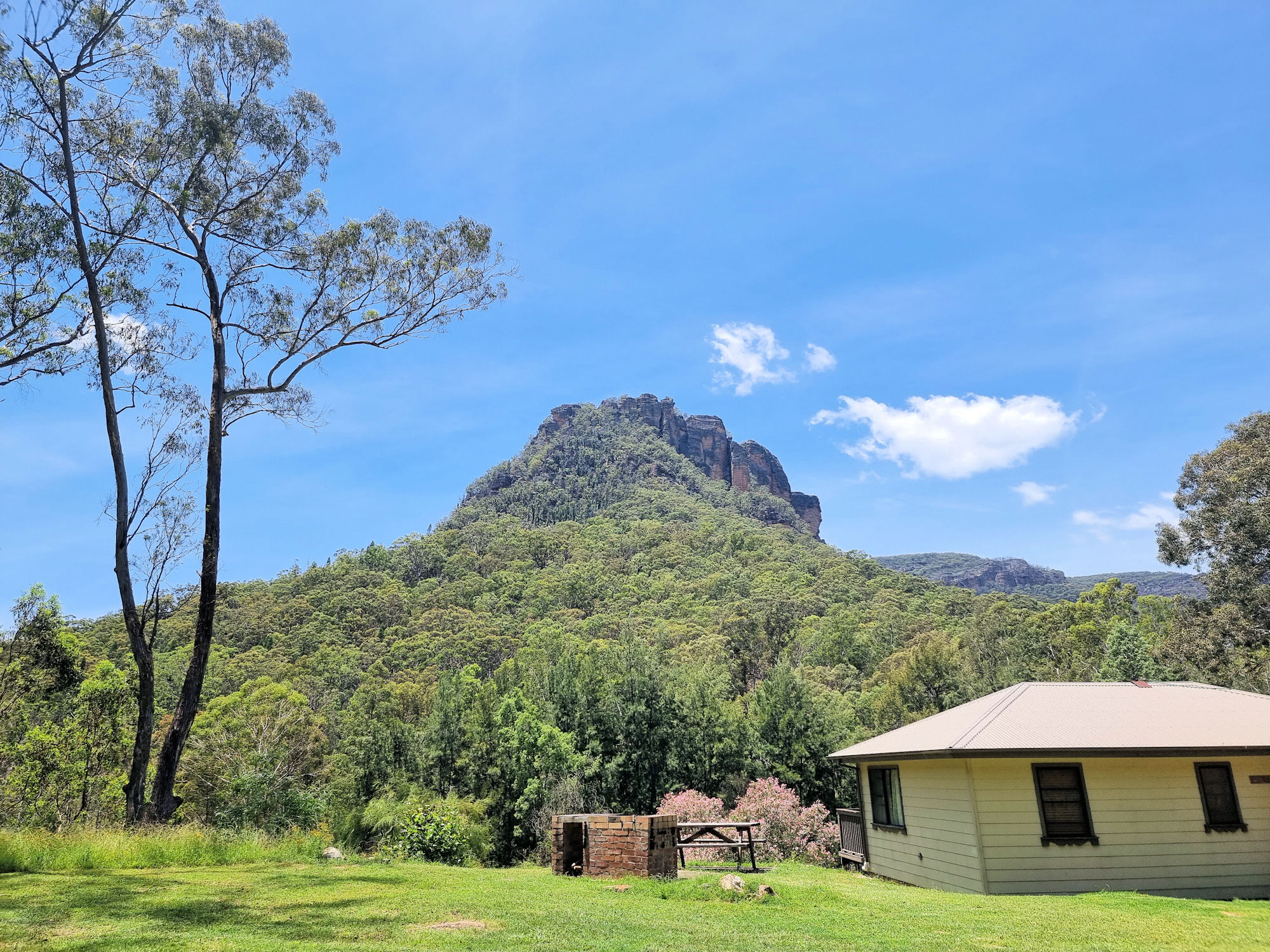
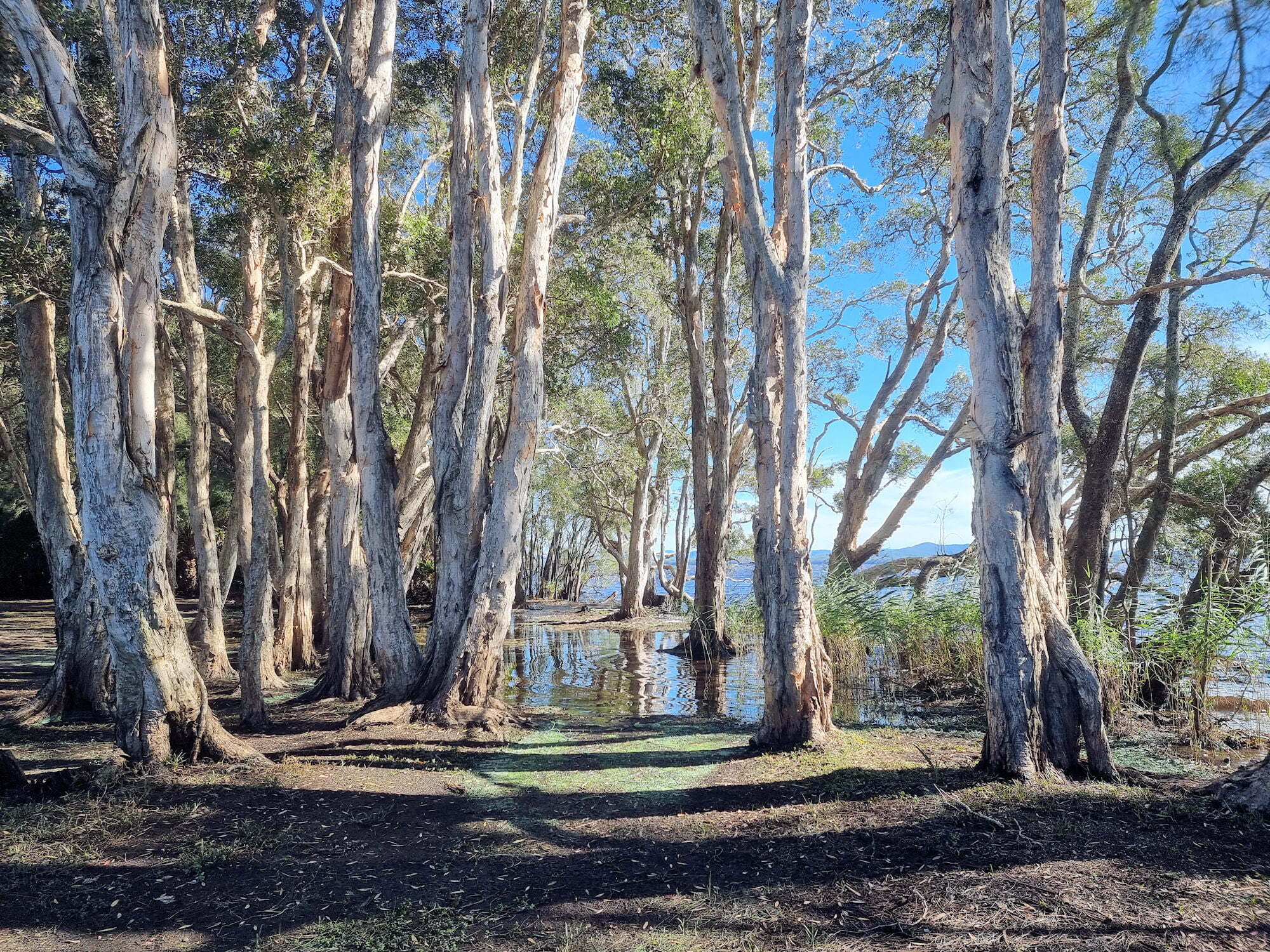
The remaining monuments in the cemetery date from the late 19th to early 20th century, which coincides with the time a sawmill operated in the area. Now abandoned and heritage listed, it has a great view over the Myall Lakes.
This was an easy walk with an interesting cemetery at the end. Parking was easy in a small, cleared area, but it’s an easy place to miss if you are not careful.
To see what else there is to do in New South Wales, please see some of our other stories.
On a wet and rainy morning, we decided to go bush walking at Rumbalara Reserve near Gosford to see the statues. The forecast said some light drizzle clearing to a fine day. Well, it rained all the way during our drive there, where on arrival we waited another hour for the rain to ease. So, not to be put off by a bit of a wet track we took off. This was when we discovered that wet weather plus Rumbalara Reserve equals leaches. Lots of leaches. Fortunately, we came prepared and the first attack was repelled by carefully applied salt. This was followed by lots of Bushman Plus Repellent which seemed to keep them off skin, but not boots, so these were monitored and cleaned regularly.
Anyway, despite this minor setback we really enjoyed the area, especially the statues.
Getting There
Located in Gosford on the NSW Central Coast, Rumbalara Reserve is 1.25 hours north of Sydney or 1.5 hours south of Newcastle. On arrival, we stopped at the Yaruga Picnic Area on Dolly Avenue, where toilet facilities and picnic tables are available.
Once the rain cleared, we started our walk by going to the Statue of Edward John Eyre.
Mist and light rain over Dolly AvenueView of Gosford from Yaruga Picnic Area
Statue of Edward John Eyre
This statue is the hardest of the four to find. Located by itself on the Mouat Trail it is some distance from the other three. This makes it fun to find. Starting at the Yarunga Picnic Area, we walked back down Dolly Avenue and past the large water tank. Not far past the water tank, a sign on the left-hand side gives directions to Mouat Trail and the statue.
The track is surrounded by Australian coastal eucalypt rainforest with a nice fern understory. With the recent rainfall the track was a little muddy but easy to walk. not far down the track we came across the statue of Edward John Eyre hidden in the ferns. One of us jumped and nearly had a coronary because he appeared so suddenly.
Famous as a colonial explorer of Australia, Edward John Eyre was the first European to traverse the Nullarbor Plain, where the current highway bears his name. Other features named after him include the Eyre Peninsula and Lake Eyre.
Water tank on Dolly DriveSign to the Mouat Walk and Eyre StatueEucalypt Forest on the Mouat WalkHollowed out eucalyptus tree on the Mouat WalkStatue of Edward John Eyre
Flannel Flower Walk
From the statue we retraced out steps to the start of the track and took the Flannel Flower Walk. This was where we noticed the leaches, making a quick stop to remove them and apply repellent.
The trail itself is very nice with the eucalyptus rain forest providing a great atmosphere to walk in. There are several steep drop offs and cliffs but there are fenced and safe if you stay away. As it goes uphill, the trail climbs over rocks so be aware of this, as it’s rough in places.
At the top of the hill, Flannel Flower Walk meets Dolly Avenue and the Start of Iron Bark Loop.
Part of the Flannel Flower Walk
Iron Bark Loop and Three Bronze Statues
Located on Iron Bark Loop, the remaining three statues are very easy to find. Getting here can be by walking along the trails, or drive to a parking spot at the end of Dolly Avenue. On the loop walk and below the carpark the three statues look out over the surrounding landscape.
The statues are:
Sir Charles Kingsford Smith
Sir Charles Edward Kingsford Smith was an early Australian aviator.
In 1928, he made the first transpacific flight from the United States to Australia. He also made the first non-stop crossing of the Australian mainland, the first flights between Australia and New Zealand, and the first eastward Pacific crossing from Australia to the United States; and, also, made a flight from Australia to London, setting a new record of 10.5 days.
Sir Charles Kingsford-Smith Statue
Matthew Flinders
Lieutenant (later Captain) Matthew Flinders was a British navigator and cartographer who led the first inshore circumnavigation of mainland Australia, then called New Holland. He is also credited as being the first person to utilise the name Australia to describe the entirety of that continent including Van Diemen’s Land (now Tasmania).
Matthew Flinders Statue
Charles Sturt
Charles Sturt was a British officer and explorer of Australia, and part of the European exploration of Australia. He led several expeditions into the interior of the continent, starting from Sydney and later from Adelaide.
Driving from Mittagong to the Mount Gibraltar Lookouts takes you past some spectacular houses, although if you’re driving you may not see much of them. This is because the road is narrow and windy, so you need to pay attention to the road.
At the top of the hill, one of the residences has an old cart outside, so we stopped to take a photo of it. Further around, Mittagong lookout provides views over the town. Parking is on the road and limited, so you may need to drive around until you can find a spot. From the road, a stone path leads to the lookout. Here, a sandstone shelter and viewing platform overlook the valley below.
Not far from the first lookout, Jellore overlooks more of the valley. Again, parking is at a premium. At the lookout trees have grown, blocking most of the view.
The final stop (or first if you came from Bowral) is the Bowral Lookout. By far the largest, with picnic tables, garbage bins and a toilet it is the easiest to get to.
We didn’t find any of the views to be particularly special, although if you are in Mittagong, it’s something you can do to fill in time. The lack of parking and narrow roads are also a significant issue.
Old cart on Oxley DriveWeather Shelter at Jellore LookoutView from Mount GibraltarMittagong From the LookoutView over Mittagong
To see what else there is to do in New South Wales, please see some of our other stories.