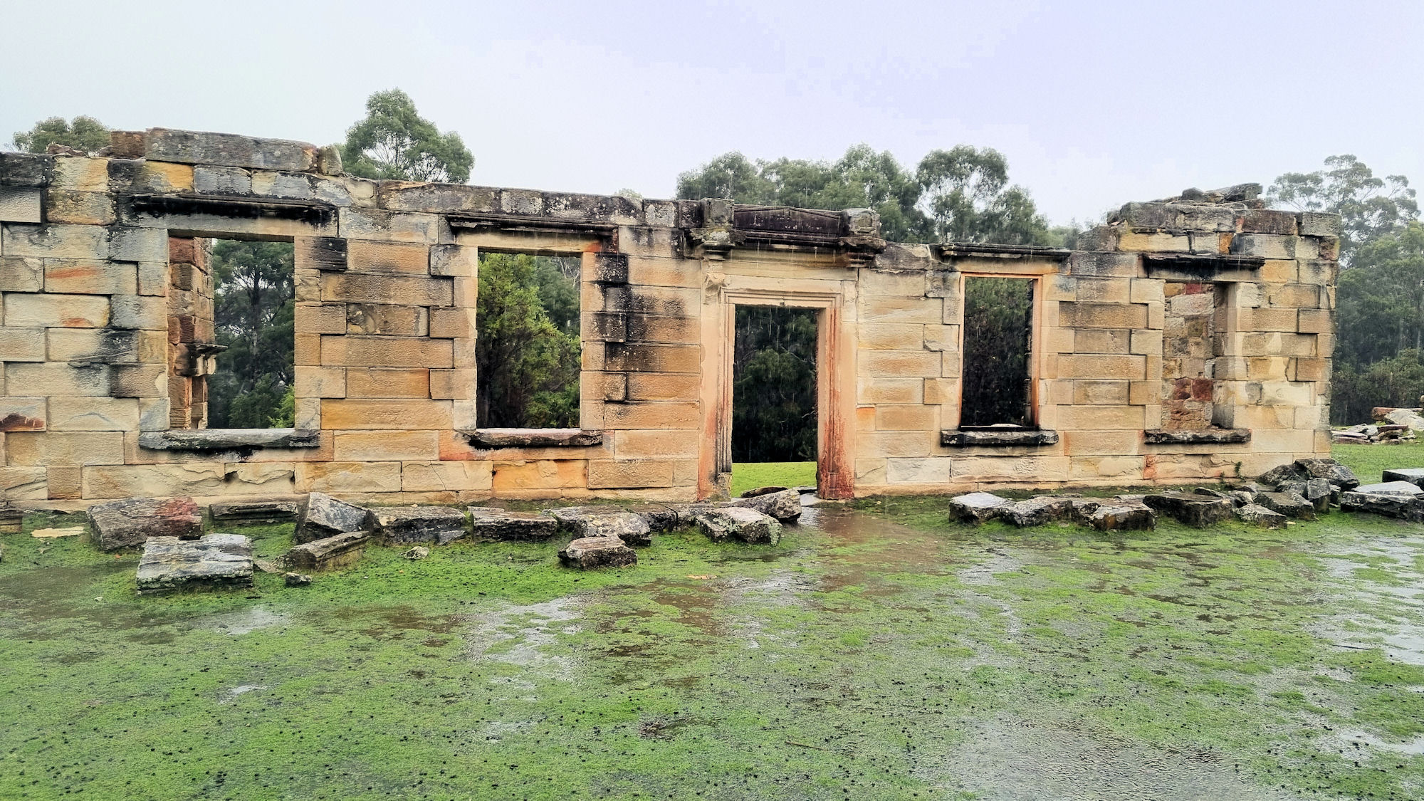
Originally a tin mining district, Derby is now a haven for mountain bike riders, with an established series of bike trails in the district. A remnant of the mining history has been incorporated into the bike and walking trails, making an excellent addition to the usual Australian bush you usually go through. The old Derby tin mining tunnel is easy to walk through, but bring a torch, so that you can see.
Getting There
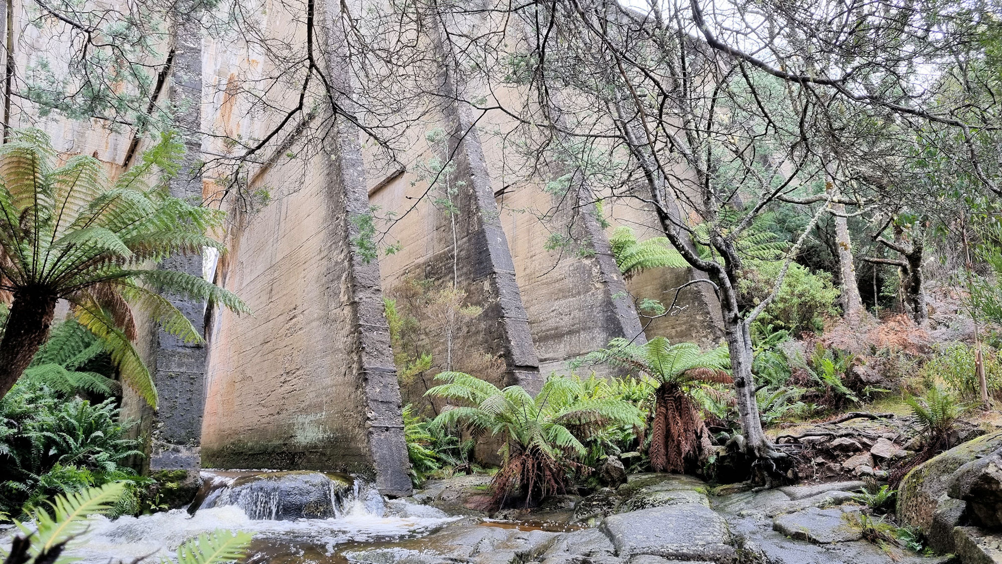
Located in north-east Tasmania, Derby is 90 minutes from Launceston and three and a half hours from Hobart. We travelled here from the Bay of Fires, only an hour away, stopping on the way at Paris Dam Wall.
Bike Tracks
The town is surrounded by bike tracks, which attract people from all over Australia. Generally, the tracks are dual use, biking/riding, but check before setting out and be polite to other users. We only walked to the tunnel and found the bike riders to be polite and friendly, but we always moved off the track to let them through.
The tracks wind through Tasmanian temperate rainforest making them magical to walk through.
The Tunnel
The tunnel was one of several used to move waste from mines to the river, but is the only one now accessible. During our visit, the lights were not working, but we had a torch, so walking was not a problem. Without light, the tunnel would be pitch dark and dangerous.
While walking, keep an ear out for bikes, so that you can keep out of their way. You will hear them a long way off and they will see your light. Several groups passed us as we walked, with no problems.
Good footwear is essential as the floor is uneven in places and can be wet.
At 600m long, it does not take long to walk through before entering daylight again.
Entrance to the Tunnel
Tin Tunnel
Light to the Outside of the Tin Tunnel
Exit From the Tunnel
What Did We Think
This was a really fun walk and something different to the usual bush walks we do. The tunnel was easy to walk through using a light and wearing good walking shoes.
At 50kms long, Bruny Island has farms, food, forests, wildlife, beaches, and history, all within an easy drive. We spent two nights and two full days on the island and could have spent more because there’s so much to see and do.
Although accessible only by ferry, the island is still easy to get to, as the service runs regularly at 30-minute intervals. Check the timetable before going, to ensure you have the correct time. Tickets are purchased on the day of travel, as you enter the ferry terminal.
Cape Queen Elizabeth Track
Our first stop when we arrived was Cape Queen Elizabeth Track, where we walked to Bligh Rocks on the coast. This section of the walk took us one hour return for the five kilometres, plus another 30 minutes for photos and looking around. The full walk to the cape is 13km return, with an estimated 3 hours for the round trip.
Located opposite Bruny Island Honey, the track head has a small carpark next to the start of the walk. Commencing in coastal eucalypt forest, the vegetation changes to banksia scrub before reaching the beach on Moorina Bay.
This long sandy beach looks amazing and in summer must be a great place to relax, but in winter was too cold for a swim.
Bligh Rocks sit to the left of where the track enters the beach, with a gap in the rocks allowing access to the other side. At low tide access is possible on the ocean side, but is too dangerous when the tide is in. Through the gap, an arch gives access to a lovely small beach and more rocks.
Another arch further along, past this beach is accessible at very low tide, but was far too dangerous to attempt while we were there.
This was a very nice short walk and a great introduction to the island.
Cape Queen Elizabeth Track
Gum Tree on Cape Queen Elizabeth Track
Moorina
Bligh Rocks
Bligh Rocks
Small Beach Near Bligh Rocks
Bligh Rocks
Bligh Rocks
The Neck Lookout / Truganini Lookout
One of the best-known features of Bruny Island is the spit that connects the north to the south part of the island. A carpark located next to a lookout gives a wonderful view of the neck, as well as providing views up and down the coast.
There are a lot of steps up to the lookout, but platforms at regular intervals allow rest stops and the chance to take in the views as you go up.
A large viewing platform at the top has bench seats to rest on and admire the views. In the middle of the platform, is a memorial to Truganini, the last full-blood Tasmanian aboriginal. Born in 1812 and dying in 1876 Truganini, the daughter of a Mangana leader saw her mother killed by sailors, her uncle shot by a soldier, her sister abducted by sealers, and her fiancé murdered by timber-getters. The genocide of the original Tasmanian people is the darkest part of Tasmania’s troubled history.
Stairway Up To The Lookout
Truganini Memorial
The Neck From the Lookout
Looking Toward South Bruny Island
Looking Toward North Bruny Island
Cape BrunyLighthouse
Sitting on the far south-western corner of the island, the heritage listed Cape Bruny Lighthouse, is 114m tall and sits perched at the top of rugged cliffs. The coastal views are amazing, especially at sunrise and sunset. We timed our visit to arrive before sunset and were able to see some great views.
Cape Bruny Lighthouse
View of the Lighthouse Keeper’s Cottage
View Over Lighthouse Bay
Sunset at Cape Bruny Lighthouse
Adventure Bay Bruny Island
Our two nights’ accommodation were in Adventure Bay, allowing us easy access to most of the island because of its central location. The area has a small general store, selling most things visitors will need, a great beach, some interesting attractions as well as being the departure point for the Adventure Cruise.
Opposite the general store, near the pathway to the beach is a large sculpture featuring a world globe containing a whale. Whales are often seen during their migration as they pass off the coast. In the past whales were hunted, but that has long gone, and they are now protected.
Between Adventure Bay and the small marina, two monuments to Captain James Cook commemorate his visit here in 1777.
Coal mining was undertaken in the area from 1879 to 1890 and a small information board explains its history. Mining was very difficult, because it was located on the shore line and impacted by the sea. The coal seam can be seen from the lookout near the information board.
Adventure Bay Beach
Globe Sculpture Adventure Bay
Captain Cook Memorial Adventure Bay
Memorial to Captain Cook’s Tree
Coal Point Where Mining Occurred in the Late 1800s
Sunset
Sooty Oystercatcher
Beer, Wine, Whiskey, and Cider Tasting
Bruny Island has its own brewery, cider, whiskey, cheese, honey, and chocolate, so while there, take the opportunity to sample the locally made produce. We tried a few of the options and bought more to take home and enjoy later.
J Dillon and Sons Bruny Island Apple Cider
Bruny Island Beer Co. Lighthouse Ale
Beer Tasting at Bruny Island Cheese Company
Bruny Island Chocolate Company
Bruny Island Wilderness Cruise
The highlight of out stay was the Bruny Island Wilderness Cruise. This three-hour cruise explores the rugged coastal cliffs and wildlife including seals, dolphins, and whales, if they are in the area. For the full blog of the cruise, click here.
The Monument
Arch in the Cliff Face
Australian Fur Seals on The Friars
Accommodation
We stayed in a self contained holiday house in Adventure Bay. This gave us a great place to explore from, while being able to relax in private. With places to eat nearby and centrally located for the Island’s attractions, we enjoyed our stay here.
What Did We Think
We really enjoyed out time here and could have spent several more days going on walks and exploring. The natural beauty and rugged coastline were amazing and the wildlife wonderful to see.
Offering remarkable coastal views of Freycinet National Park and a well-constructed walkway, Cape Tourville is a great way for everyone to experience Freycinet. The well made track loops around the automated lighthouse, providing fantastic panoramic views.
The track is wide, with even surfaces and gently graded slopes. Much of the walk is on a raised boardwalk which, at times, takes you right to the cliff edge. Not only can you see the coastal cliffs, but also nearby offshore rocks known as The Nuggets.
Information boards along the track provide details of wildlife often seen here. This includes sea birds, sea-eagles, whales, seals, and dolphins, but will vary due to the time of year. During our visit, there was low cloud and scattered showers, so we were not able to see any. Instead, we took in the views which were stunning and looked great because the low clouds added amazing character to the scenes.
Markings on the board walk measure out the length of whales and dolphins, which really puts their huge size into perspective.
Looking Over Carp Bay
The Nuggets
Cape Tourville Lighthouse
The climb up to the lighthouse is over gravel, or you can take some steps half way along the walk. The lighthouse is automatic , so you are unable to enter. From this height you get slightly different views than from the track.
Cape Tourville Lighthouse
What Did We Think?
This was a very easy 600m loop, which we loved because of the amazing views, but would be very exposed on a wet and windy day.