AdBlock Detected

It looks like you're using an ad-blocker!

Our team work realy hard to produce quality content on this website and we noticed you have ad-blocking enabled.

Manly to North Head Walk

Manly to North Head Walk

The walk from Manly to North Head takes you past some beautiful beaches with views over the coast, through coastal scrub and passes old fortifications. Finally ending at the entrance to Sydney Harbour, it has spectacular views of the city.

Getting There

The easiest way to get to Manly is to take the Manly ferry from Circular Quay. If you’re new to Sydney, this is an attraction in itself, because the Sydney Harbour ferries form an important part of the local public transport. During the ferry ride, you get some brilliant views of the Opera House and Harbor Bridge as well as all the other boat traffic on the water.

Start of the Walk

Catching the Manly Ferry from Circular Quay, we arrived at Manly Wharf at 9:30 am. We planned our walk to take us along the shore to Shelly Beach where we would follow a track to the Barracks Precinct. Not only would this give us views over the coast but take us past some old fortifications and gun emplacements.

From the Manly wharf, we walked down The Corso, which is a pedestrian mall leading to the beach.

Manly Beach

One of the most popular Sydney beaches, Manly Beach is a great place for a swim or relaxing on the sand. We bought a coffee at a kiosk near the south end of the beach before starting the walk.

Manly Beach
Manly Beach

Manly to Shelly Beach

Starting at the south end of Manly Beach, the path follows the coastline, which is rocky until you reach Shelly Beach. There are plenty of places with places to look up and down the coast and back to Manly, giving you some amazing views.

Along the way look out for small metal sculptures of local wildlife. These have been placed on the rocks next to the path.

About halfway to Shelly Beach, Fairy Bower Pool is a protected ocean pool where you can swim. The pool is also decorated with a sculpture of two fairies.

Shelly Beach

Shelly Beach is a secluded and serene crescent-shaped beach surrounded by nice shady trees. As well as a grassed area to relax on it has a kiosk where you can buy refreshments before continuing the walk.

From Shelly Beach, the track goes uphill to head along the cliffs to the south.

Shelly Beach Manly Sydney Australia
Shelly Beach

Shelly Headland Lookout

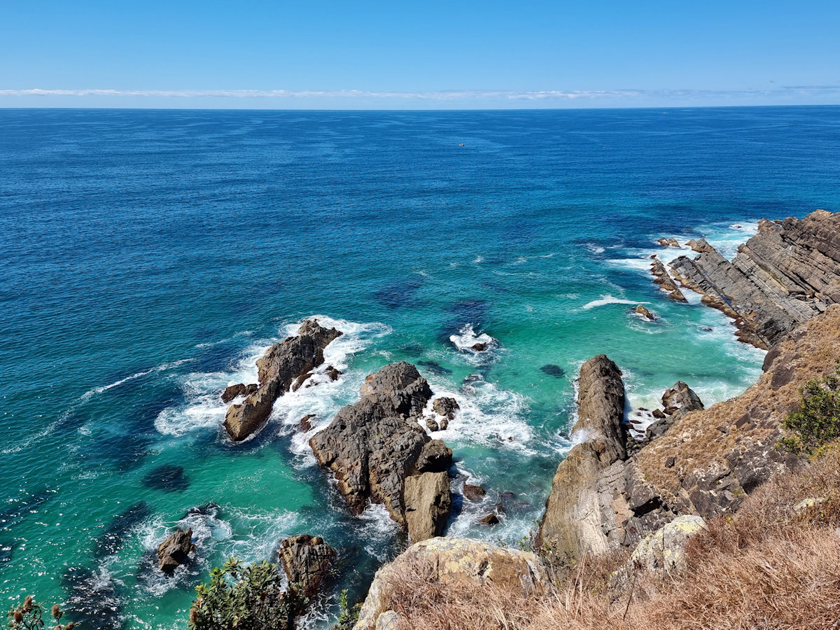
Perched on a rocky outcrop overlooking the ocean, this Shelly Headland Lookout provides an ideal spot for photographers because of the wonderful views along the coast. During the whale migration season, it’s also an ideal point to watch them swimming past.

Coastal view looking north back to Manly Manly to North Head Walk
Coastal view looking north back to Manly

Shelly Beach to the Barracks Precinct

After the flat walk from Manly the track becomes rougher and steeper. From here the track climbs uphill to reach the cliff tops. Winding through the coastal vegetation, it is not as busy as the first section because it is a more difficult walk. We loved this section, as the walk through the bush was much more peaceful.

At the top of the cliffs, old fortifications dating from the Second World War and earlier can be seen. The track even goes through one of the old walls built to defend the area.

Barracks Precinct

The Barracks Precinct at North Head is a historically significant site that served as a military base from the mid-19th century to the mid-20th century. It played a crucial role in the defence of Sydney Harbor and housed various military units over the years.

The Barracks Precinct has well-preserved sandstone buildings, which showcase the architectural style of the time. It includes several barracks, officers’ quarters, mess halls, and maintenance buildings. These structures provide a glimpse into the daily lives of soldiers stationed at North Head.

Today, the Barracks Precinct has been repurposed as a heritage site and is open to the public for exploration. Visitors can wander through the historic buildings, learn about the site’s military history through information boards which are dotted around the area.

In this area and continuing to North Head, the walking tracks are generally well paved and often consists of boardwalks or paved roads. When we visited, the banksias were in flower adding a touch of colour to the walk.

Fortifications

Many of the original fortifications were dismantled and the guns sold for scrap when they were no longer needed. Fortunately, some are still in place so that visitors can see them. Several large gun emplacements are open to the public, but when we visited others were being repaired.

A great way to get a feel for the area’s past is to take the underground tunnels tour. We did this several years ago and highly recommend it. You walk through the tunnels and underground sections of the fortifications as well as getting into areas the general public cannot access.

Memorial Walk

Winding through the coastal vegetation, the Memorial Walk commemorates Australia’s military heritage. Not only are there great sandstone memorials but the path is inlaid with bricks commemorating individuals or military units.

Fairfax Lookout

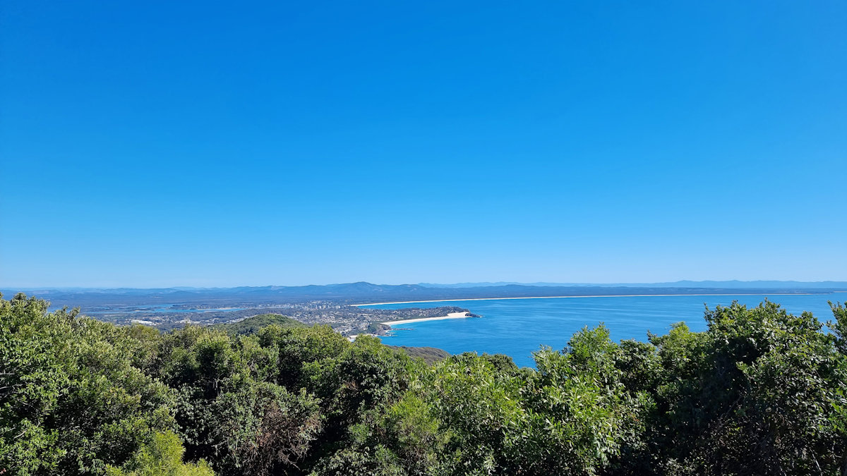
The end of our walk took us to Fairfax Lookout with its stunning views of Sydney and Sydney Harbour. The site was named after Sir James Fairfax, a prominent Australian businessman and philanthropist.

View of Sydney and the Harbour from Fairfax Lookout Manly to North Head Walk
View of Sydney and the Harbour from Fairfax Lookout

Other Places to See in North Head

If you have time, Q Station, the old Sydney Quarantine Station is worth a visit. We did a guided tour here some time ago, which took us through the history of the site and most of its buildings. The old quarantine station cemetery is also a great place to see.

Getting Back

After finishing our walk, we decided to catch the bus back to the wharf as it stops right outside. Alternatively, you could walk back via Q Station. We had an excellent tour there a few years ago and highly recommend a visit.

Our photos are available for purchase on

To see what else there is to do in New South Wales, please see some of our other stories.

Prince Henry Cliff Walk

The Blue Mountains

Prince Henry Cliff Walk in the Blue Mountains

One of the best walks to take in the views of the Blue Mountains, the Prince Henry Cliff Walk is accessible at several points and can be undertaken in stages. This is great because at 7kms one-way, it may be seen as a little too long. During our visit several sections were closed because of severe storms over previous months. Fortunately, most of the lookouts were accessible, so we could still see the amazing views of the Blue Mountains.

Running from Katoomba to Leura, the walk passes Katoomba Falls, Echo Point and the Three Sisters as well as the Leura Cascades. Additionally, there are over 20 lookouts along the way, each providing outstanding views of the Jamison Valley.

Parking

Parking is available at Katoomba Cascades, Echo Point lookout, or Gordon Falls near Leura. However, during busy times it is difficult to find a park with most streets also being paid parking. We chose to start early in the morning for the first part of the walk, so parking at Katoomba Cascades was available.

We accessed the second section from Cliff Drive to Leura Cascades near Kiah Lookout, which was only a short walk from our accommodation.

During our visit, the section from Echo Point to Katoomba Falls was closed for repairs.

Katoomba Cascades

This section also forms part of the Night Walk, with the pathway lit and floodlights illuminating sites along the way. We chose to walk it during the day, because we wanted to see the larger views over the valley.

Located only a short walk from the carpark, the Cascades were flowing well after recent rain. The well-maintained steps down to the base of the cascade make this an easy walk. At the bottom, you are able to walk close to the falls, there are also several places to sit in the shade and enjoy the view.

The cascades are very easy to get to because of the well maintained track as long as you can walk up and down the initial steps. The Blue Mountains had lots of rain, prior to us visiting, which made the walk and waterfalls a great experience.

Katoomba Falls

From the cascades, the path leads to a series of lookouts, for spectacular views over the valley. One of the best is the view of Katoomba Falls. Created from the flow of the Kedumba River, it flows over the escarpment, this is the same river that creates the Cascades. Several of the lookouts give different perspectives of the falls.

At one point, the Scenic World Skyway Cale Car made its trip across the valley, which was interesting to see. This is another great way to get a view of the falls. The cable car runs from Scenic World across the gorge, where passengers can disembark and walk to Echo Point (currently closed in 2022).

The path from the cascades is relatively flat, making the walk to Katoomba Falls lookout not too difficult. There are plenty of places to rest and admire the views along the way, so there is no need to be too energetic. The view of the falls is amazing, which makes the short walk worth the effort.

Leura Cascades on the Prince Henry Cliff Walk

We chose to walk to the Leura Cascades from our accommodation because it was so close. Access to the Prince Henry Walking Track from Kiah Lookout was only a five-minute walk away. However parking is limited, so if you wish to drive it might be better to start at the Leura Cascades Picnic Area.

The upper section of the track was easy to walk, with a well-maintained track and a gentle downward grade, however as the track became steeper, the track deteriorated, becoming narrower and damaged by water run-off. There are also a large number of steps, as you descend towards the falls, which all have to be climbed again when returning. We took our time and enjoyed the many great views from the lookouts along the way.

Keep a lookout for native wildlife as you walk. We saw a lyre bird but were not quick enough to take a photo.

This section of the Prince Henry Cliff Walk was great fun, taking us around 40 minutes return despite all the steps. This included time for photos, admiring the views and a side track to Copelands Lookout.

Our photos are available for purchase on

To see what else there is to do in New South Wales, please see some of our other stories.

Grand Canyon Walking Track Blue Mountains

Overhanging Cliff and Ferns at the Bottom of the Track

Grand Canyon Walking Track Blue Mountains

One of the great walking tracks in the Blue Mountains of New South Wales, the Grand Canyon Track is a 6.3km loop that descends 1,000 steps to Greaves Creek before climbing out again to the top. During the hike, you pass through rain forest, past waterfalls and get some of the best views of the surrounding World Heritage Listed area.

Parking

Three carparks in the area are all good places to leave your car. As the walk is a loop, you will need to pass all of them at one stage. Which one you choose is up to you, but we used Neates Glen car park, because it lets to start on the track straight away. Additionally, you get to finish the climb out of the canyon with the spectacular views from Evans Lookout.

Alternately, the Evans Lookout car park is close to where the track leaves the canyon, while the Grand Canyon carpark is midway between the two.

Grand Canyon Walking Track

First Section – Descending

Wet weather made the track wet, muddy and slippery in many places, especially where some of the steps were covered in mud. We wore good hiking boots and were pleased that we did. Some people only wore sneakers and they were soon soaked, covered in mud and slippery. Even in dry weather, good hiking boots would be a good idea, because of the extra grip and support they provide.

Descending through the rainforest, you pass eucalypts, and wonderful tree ferns. With the surrounding cliff and rock overhangs, it feels like something from a Harrison Ford Raiders of the Lost Ark Movie. Well maintained, the track is easy to follow without having to stop and decide which way to go. We had no difficulty finding our way. However if you need a map, one is available at the Blue Mountains Heritage Centre.

Centre Section

At around the mid-way point the track flattens slightly and you need to cross Greaves Creek several times. One crossing had its steppingstones submerged, but we crossed OK, due to our hiking boots. In this section, there are rocky overhangs with sandy floors where previous floods have eroded the cliffs.

This section of the track also contains two of its highlights. The first is a short tunnel. It’s not long, but can be dark inside, so just take your time.

The second is a waterfall, which was flowing nicely when we visited. Recent rain meant that the usual small trickle was a good flow. the track passes behind it, which is fun and worth the photos.

Climbing out of the Valley

This section was the hardest and whichever way you decide to walk the track, you must climb around 1,000 steps to get out. We took our time, admiring the views and forest as we went. Finishing at Evans Lookout gives you a nice place to relax and enjoy a fantastic view over the mountains as a reward for your hard work.

The walk back to the car from Evans lookout to the carpark was a bit boring and I can see why some people might choose to do this section first ending at Neats Glen car park as it is a letdown after the scenery in the canyon. Nevertheless, we did get to see some Waratahs in bloom on the side of the track.

What Did We Think?

This was a fantastic track, with a well deserved reputation as the best in the Blue Mountains. We enjoyed the challenge of the 1,000 steps while admiring the beautiful scenery and rainforest. Remember to wear good hiking boots, sunscreen, and bring plenty of water.

To see what else there is to do in New South Wales, please see some of our other stories.

Our photos are available for purchase on