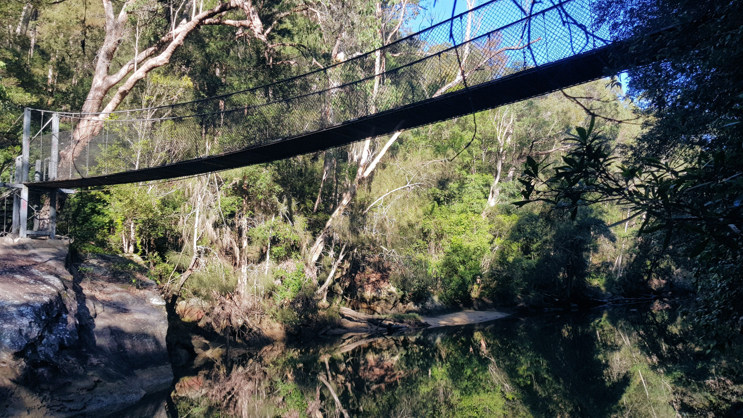
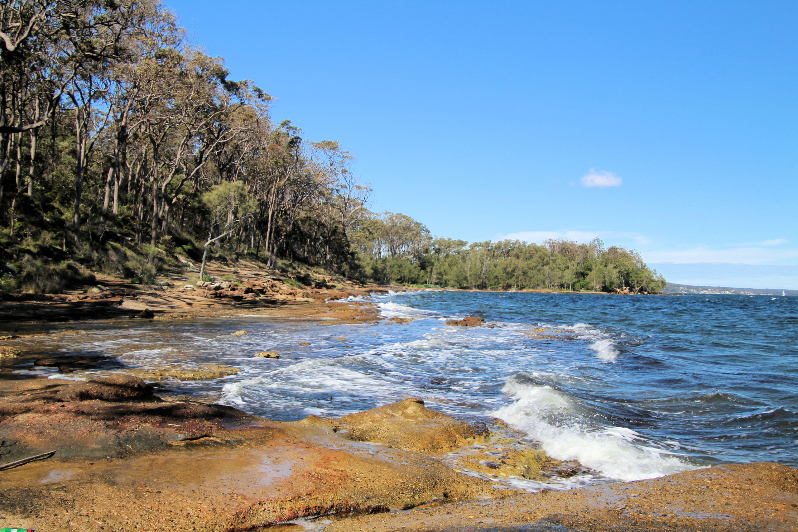
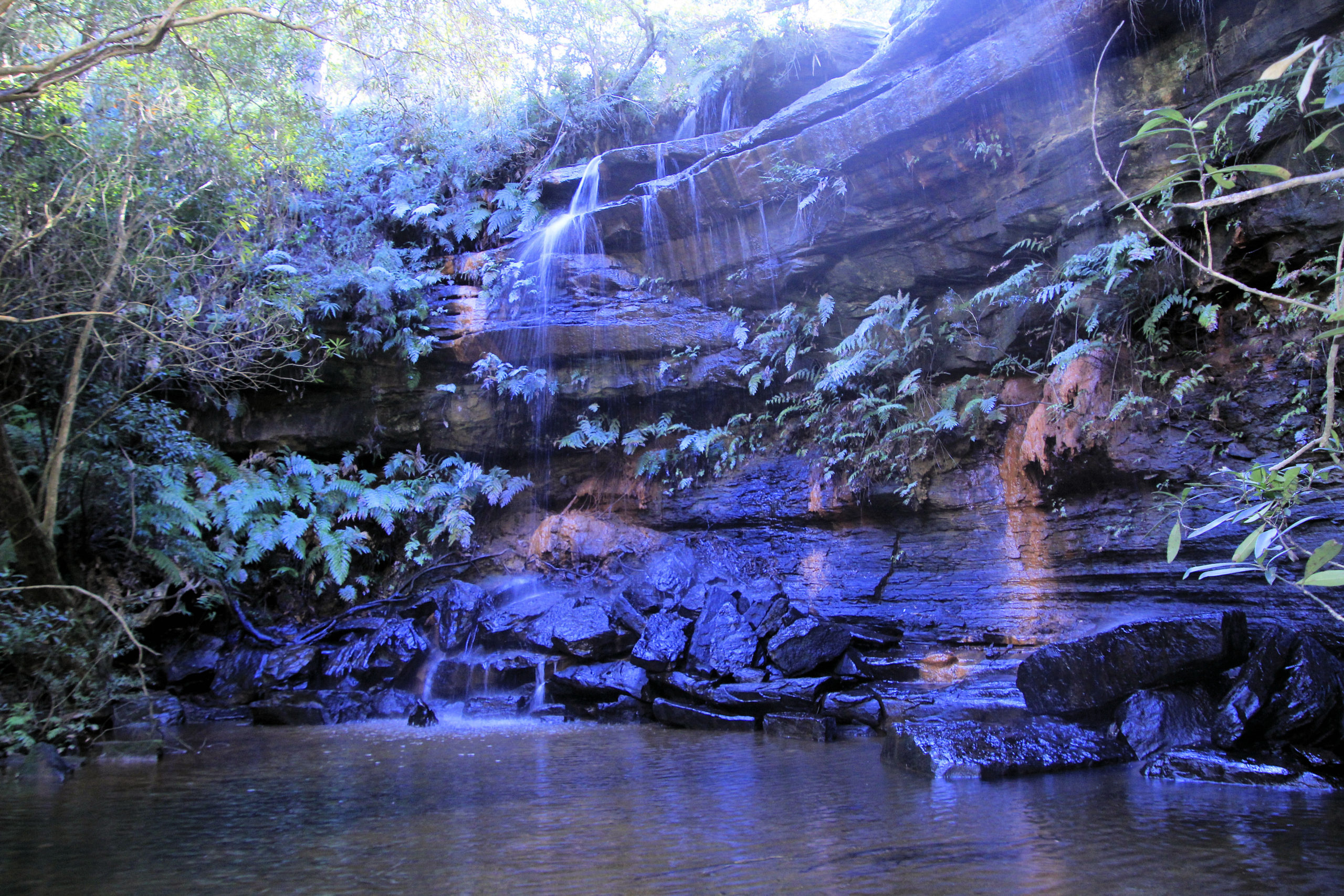
Located on the western shore of Lake Macquarie, the Wangi Point Circuit Walking Track is a great walk through Australian coastal bushland. This 1.8km loop takes about 45 minutes to walk, but took us longer as we took in the wonderful views over the lake. The track is well formed and easy to walk, unless you decide to take some of the offshoots. These can lead down to the lakeshore, and can be steep and rocky, but provide amazing views of the coast and waterways.
Parking
A small parking area on Reserve Road, provides a small area for a limited number of cars. No facilities are provided, so you will need to be prepared before you arrive here. A large map next to the parking area provides directions to the walks in the area and typical walking times.
Wildlife
During our walk, we saw seagulls and cormorants, but white-faced herons and white-breasted sea eagles also live in the area. Other walkers we passed said they saw a seal on one of the rocky beaches, but it was gone when we arrived.
To see what else there is to do in New South Wales, please see some of our other stories.
A one-hour drive north of Sydney on the M1 Pacific Motorway, take the Central Coast Highway exit, then:
Take the first left onto Wisemans Ferry Road
Then take the first left onto Old Pacific Highway
Take the first left onto Quarry Road
The picnic area, where the trail begins, is through the tunnel and straight ahead.
Be aware of the carpark’s closing time, as rangers lock the gates after hours.
Fungi Growing near the Track
Eucalypt on the Track
Aboriginal Rock Engravings
One of the first stops on the track is a collection of Aboriginal rock engravings, which give an insight into indigenous settlement of the area. Signs warn visitors not to walk on them, while also explaining their significance.
Warning Sign Next to Aboriginal Rock Engravings
Aboriginal Rock Engravings
Wildlife and Native Flowers
Wild flowers bloom in spring, so we missed them, however, we came across a bush turkey, which was the only wildlife we saw.
Bush Turkey on its Nest
Girrakool Loop Track
Waterfalls on the Girrakool Loop Track
Apart from the native forest and views, the waterfalls are the major drawcard for this walk. We though the one at Andamira Lookout was the nicest, as it was shady and quiet.
Waterfall at Andamira Lookout
Shady Waterfall at Andamira Lookout
Waterfall at Andamira Lookout
What Did We Think
A great little walk taking about 45 minutes, passing forest and nice waterfalls. We had a great time.
To see what else there is to do in New South Wales, please see some of our other stories.
Two hours from Sydney, or 30 minutes from Nowra (to Hampton Bridge in the middle of Kangaroo Valley), this is a great place to escape the big city. We stayed in Nowra and explored from there, but there are many closer places to stay, especially if you go camping. During our time we went bush walking, explored local history and admired the amazing scenery.
Hampden Bridge Kangaroo Valley
Built in 1898 to replace an older wooden structure, Hampden Bridge features four large crenellated turrets made of locally quarried sandstone. Named after Lord Hampden, Governor of New South Wales from 1895 to 1899, it is a tourist attraction in Kangaroo Valley, because of its distinctive appearance.
Parking is easy due to the on street and off street car parks at either end of the bridge. From the Nowra side of the bridge, a stairway descends to the Kangaroo River, to view the underside of the bridge.
Hampden Bridge Kangaroo ValleyKangaroo Valley’s Hampden BridgeKangaroo River Under Hampden Bridge
Pioneer Village Museum Kangaroo Valley
Set in 8 hectares of bushland, the one hectares pioneer village contains building built like like those of the late nineteenth and early twentieth century. Displayed are a dairy, forge, school house, settler’s cottage, a Museum, war remembrance room and suspension bridge on one of the bush trails.
Pioneer Village FarmFarmhouse KitchenHorse BuggyPioneer Village Museum BuildingsPioneer Village Museum BuildingsSlab Hut at Pioneer VillageSuspension Bridge at Pioneer VillageSuspension Bridge at Pioneer Village
Cambewarra Mountain Lookout
Located at the top of Cambewarra Mountain, the lookout provides panoramic views out the the coast and at 678m above sea level gives you views from Coolangatta Mountain in the north all the way to Sussex Inlet in the south.
Around 20 minutes drive from Nowra, it is easy to get to, but the drive up the mountain is slow, with narrow, twisting roads in places.
Apart from the views, a cafe offers snacks and a lunch menu, with inside and outside seating, depending on the weather. On our visit, it was a great place to warm up after a cold morning start and relaxing by a warm fire was wonderful.
View From Cambewarra Mountain LookoutCambewarra Mountain Lookout CAfe
Tallowa Dam
Constructed across the Shoalhaven River, Tallowa Dam is popular with tourists and locals, because of water sports and picnic opportunities. For a relaxing day, the picnic area has a nice grassed area, while nearby, the water is easily accessible. Organised trips by local tour operators, provide the opportunity to kayak downstream.
The dam wall is not accessible, but a track leads to the downstream side, where you can view the wall and some infrastructure.
We were luck on our stop there to see some kangaroos that were relaxing in the picnic area.
Kangaroo at Tallowa Dam
Fitzroy Falls
One of the highlights to Kangaroo VAlley is a visit to Fitzroy Falls, not only for the waterfall’s 80m drop, but also the surrounding eucalypt forest and views over the gorges and valleys. Parking in the large car park and paying the park’s entry fee, we first stopped at the Visitor Centre. It contains loads of information about the local history, wildlife and birdwatching and walks. With wheelchair-accessible facilities and a short boardwalk to the scenic views of the waterfalls, you do not need to go bushwalking to enjoy yourself.
West Rim Walking Track
After a stop at the Visitor Centre, we started on the 3.5km return West Rim Track, which is graded at level three, being slightly undulating but very well maintained. Along the way we found more views of the falls, and amazing views over the valley.
After finishing the walk, we found that a mobile coffee van had setup shop in the car park. A great surprise after the walk.
Fitzroy FallsFitzroy FallsView of the ValleyView of the ValleySign Post at Fitzroy FallsWalking Track at Fitzroy Falls
Belmore Falls
Managed by NSW Parks and Wildlife, Belmore Falls Walking Track is well maintained and although graded 3, has a lot of steps. After parking the car and paying the entry fee we took around 45 minutes to walk the track. We stopped many time to look at the scenery, so if you don’t stop you may be quicker.
Arriving in the afternoon, the sun was in a bad position for photos. We would advise doing the walk in the morning for a better sun angle.
Belmore Falls
What Did We Think of Kangaroo Valley?
A great place to get away to for a few days or a week. During our visit, we only scratched the surface on what’s available here, as the number of walking tracks is huge. Highly recommended for anyone who like nature and the outdoors.