Category: National Park

  • Grand Canyon Walking Track Blue Mountains
    Grand Canyon Walking Track Blue Mountains

    Grand Canyon Walking Track Blue Mountains

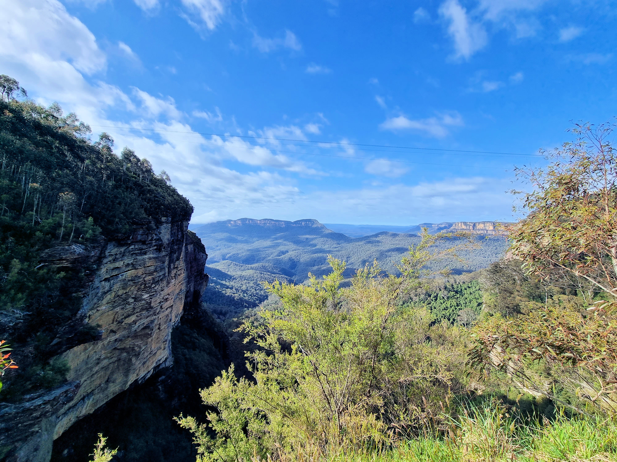
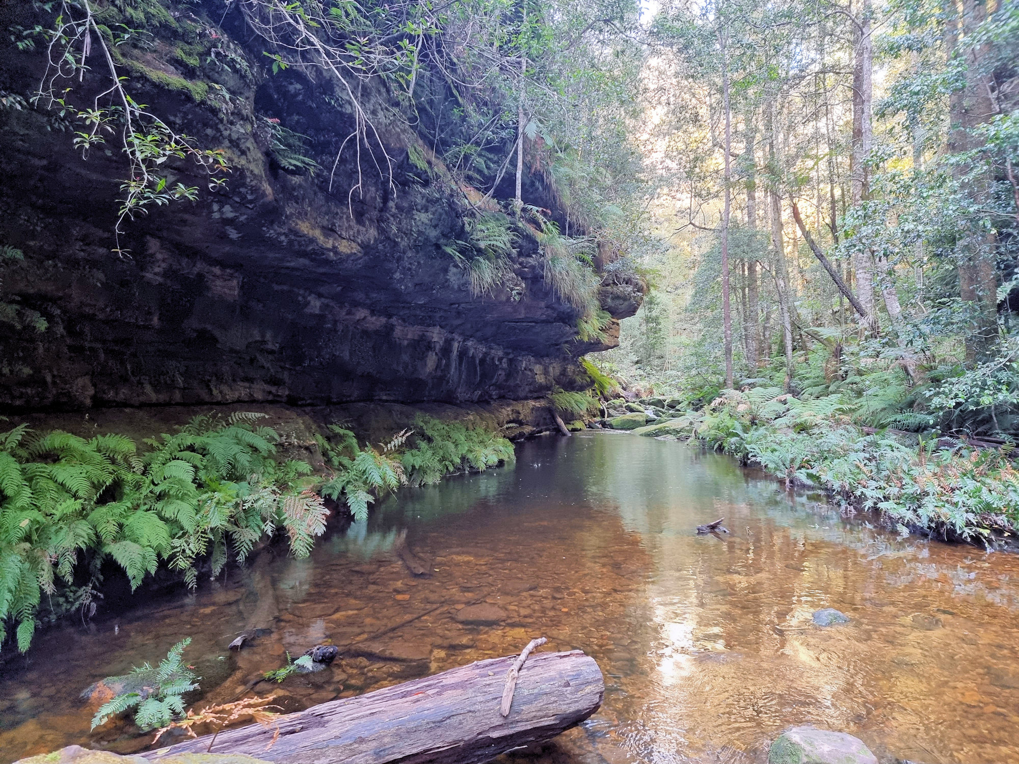
    One of the great walking tracks in the Blue Mountains of New South Wales, the Grand Canyon Track is a 6.3km loop that descends 1,000 steps to Greaves Creek before climbing out again to the top. During the hike, you pass through rain forest, past waterfalls and get some of the best views of the surrounding World Heritage Listed area.

    Parking

    Three carparks in the area are all good places to leave your car. As the walk is a loop, you will need to pass all of them at one stage. Which one you choose is up to you, but we used Neates Glen car park, because it lets to start on the track straight away. Additionally, you get to finish the climb out of the canyon with the spectacular views from Evans Lookout.

    Alternately, the Evans Lookout car park is close to where the track leaves the canyon, while the Grand Canyon carpark is midway between the two.

    Grand Canyon Walking Track

    First Section – Descending

    Wet weather made the track wet, muddy and slippery in many places, especially where some of the steps were covered in mud. We wore good hiking boots and were pleased that we did. Some people only wore sneakers and they were soon soaked, covered in mud and slippery. Even in dry weather, good hiking boots would be a good idea, because of the extra grip and support they provide.

    Descending through the rainforest, you pass eucalypts, and wonderful tree ferns. With the surrounding cliff and rock overhangs, it feels like something from a Harrison Ford Raiders of the Lost Ark Movie. Well maintained, the track is easy to follow without having to stop and decide which way to go. We had no difficulty finding our way. However if you need a map, one is available at the Blue Mountains Heritage Centre.

    Centre Section

    At around the mid-way point the track flattens slightly and you need to cross Greaves Creek several times. One crossing had its steppingstones submerged, but we crossed OK, due to our hiking boots. In this section, there are rocky overhangs with sandy floors where previous floods have eroded the cliffs.

    This section of the track also contains two of its highlights. The first is a short tunnel. It’s not long, but can be dark inside, so just take your time.

    The second is a waterfall, which was flowing nicely when we visited. Recent rain meant that the usual small trickle was a good flow. the track passes behind it, which is fun and worth the photos.

    Climbing out of the Valley

    This section was the hardest and whichever way you decide to walk the track, you must climb around 1,000 steps to get out. We took our time, admiring the views and forest as we went. Finishing at Evans Lookout gives you a nice place to relax and enjoy a fantastic view over the mountains as a reward for your hard work.

    The walk back to the car from Evans lookout to the carpark was a bit boring and I can see why some people might choose to do this section first ending at Neats Glen car park as it is a letdown after the scenery in the canyon. Nevertheless, we did get to see some Waratahs in bloom on the side of the track.

    What Did We Think?

    This was a fantastic track, with a well deserved reputation as the best in the Blue Mountains. We enjoyed the challenge of the 1,000 steps while admiring the beautiful scenery and rainforest. Remember to wear good hiking boots, sunscreen, and bring plenty of water.

    To see what else there is to do in New South Wales, please see some of our other stories.

    Our photos are available for purchase on

  • Echo Point Blue Mountains

    Echo Point Blue Mountains

    Echo Point Blue Mountains

    Probably the best place to start your trip to the Blue Mountains, Echo Point in Katoomba has amazing views, access to several walks and an information centre. Parking is available in the surrounding streets, where parking meters ensure no-one visits for free.

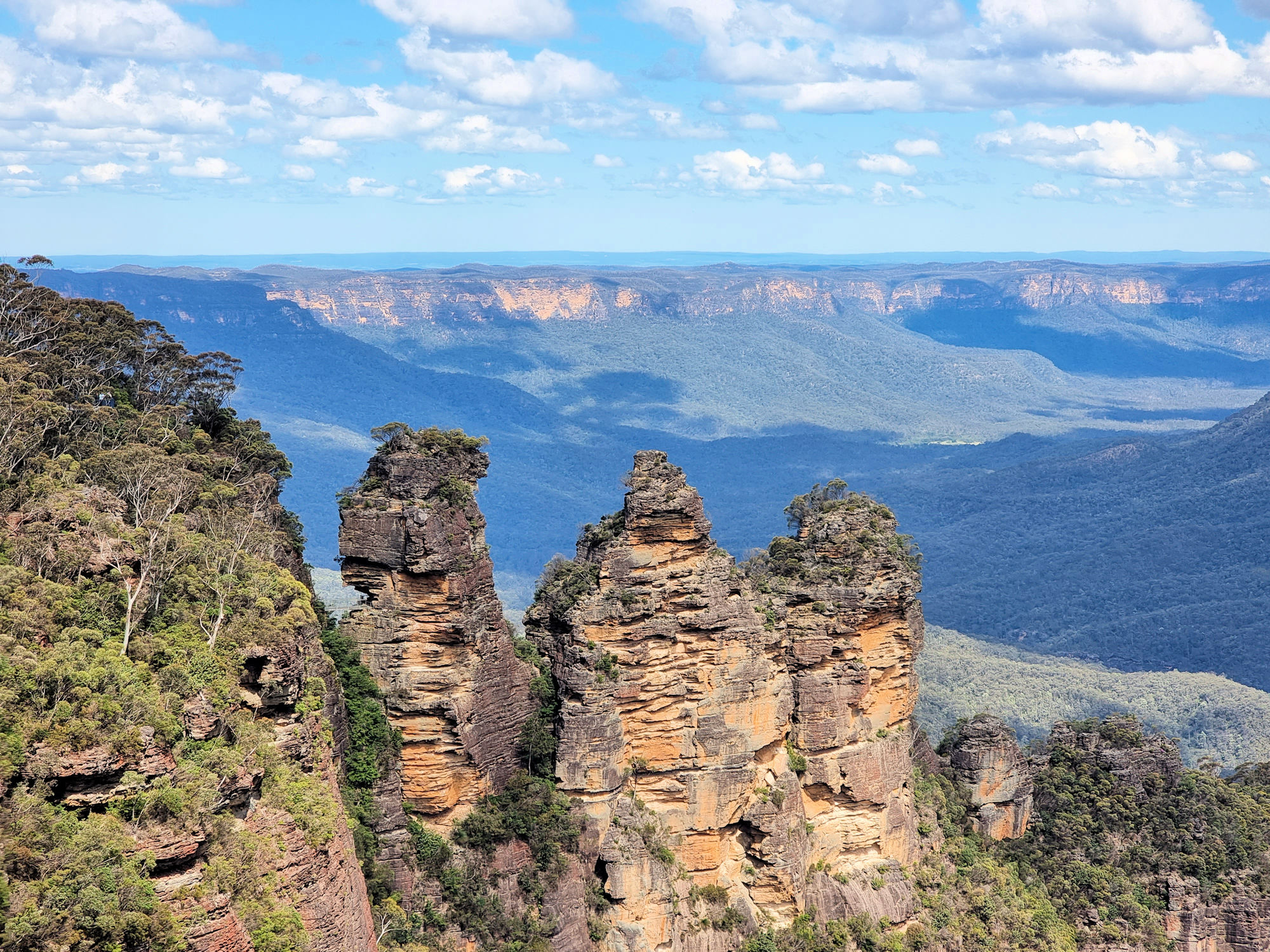
    Our first stop was the Visitor Information Centre because recent rain had closed many tracks and we needed to find out which ones were still open. After speaking to the helpful staff, we walked around the viewing area which has fantastic views of the Three Sisters and the Megalong Valley. The Three Sisters are probably the most famous rock formation in the Blue Mountains with this being the best pace to see them.

    A small track behind the Visitor Information Centre leads to Spooners Lookout with more great views over the valley and an end-on view of the Three Sisters. This is a paved track, people even took prams along one section of it. From here stairs lead down to the Sisters and the Giant Stairway (800 steps), but were closed for repair work). This small track also forms a section of the Prince Henry Cliff Walk which runs from Scenic World to Leura.

    Unfortunately the Prince Henry Cliff Walk was cut in several places while storm damage was repaired. However, we walked a small section, seeing some amazing views.

    Something to look out for on the way to Spooners Lookout is a series of metal sculptures of Australian wildlife. Placed onto rocks defining the track they make an interesting addition to the walk. These walks are relatively easy, and there are usually lots of people doing them., so can become busy!

    Our photos are available for purchase on

    To see what else there is to do in New South Wales, please see some of our other stories.

  • Hermitage Foreshore Walk Sydney Harbour

    Hermitage Foreshore Walk at Vaucluse on Sydney Harbour

    Running from Hermitage Reserve to Nielson Park, the Hermitage Foreshore Walk is a great way to take in Sydney Harbour and views to the city. In addition, you pass several historical houses, which are worth a visit if opened.

    How to Get There

    We walked from Vaucluse House and started the track at Strickland House, however if you want to use public transport, bus 325 has several stops along Vaucluse Road. For the return trip, bus 325 will take you either back to the start, or to Watsons Bay Wharf where you can catch a ferry.

    Strickland House

    We started the walk about halfway at Strickland House. This historic residence originally called Carrara was built in the mid-nineteenth century. The house has passed through many owners and is now owned by the New South Wales Government. Strolling around the grounds gives you an idea of the lifestyles of those who used to live here. The views over Sydney Harbour are amazing.

    Unfortunately access into the house is not available, but you are able to walk around the outside.

    The Foreshore Walk

    From Strickland House, we followed the Hermitage Foreshore Walk, starting at Milk Beach. The boardwalk was in very good condition and made the walk easy, although in several places we did have to walk on sand and watch for incoming waves.

    The views over the harbour are spectacular, with the bridge and Opera House visible at times. We even saw a seaplane taking off from Rose Bay.

    Greycliffe House

    The walk finished at Nielsen Park, where you will find Greycliffe House. Tours of the house need to be booked through NSW Parks and Wildlife. You are able to walk around the outside of this neo-Gothic Victorian house and it’s gardens. Even from the outside it looks impressive.

    Greycliffe House
    Greycliffe House

    What did We Think?

    This was a pleasant and easy walk, with amazing views of Sydney Harbour, with several historical house to see along the way. Only a short (but uphill walk) from here is Vaucluse House which is open to the public.

    To see what else there is to do in New South Wales, please see some of our other stories.

    Our photos are available for purchase on