Providing outstanding views of Australia’s capital city, Mount Ainslie Lookout is a must see place when visiting Canberra. Only a five-minute drive from the War Memorial, although up a windy road, it’s easy to get to.
Several viewing platforms provide vantage points to see the main axis of the city. From here, you can see the Australian War Memorial, at the top of ANZAC Parade. Across Lake Burley Griffin, Old Parliament House sits below Parliament House.
In the photos below, The War Memorial is at the bottom with the domed building. ANZAC Parade is the wide road with the red centre section. Old Parliament House is across the lake and halfway up the hill, while the new centre of Australia’s government has the large flagpole above it.
For other places to visit in the Australian Capital Territory click here
An overgrown sign marks the start of the walking track to Ironbark Falls at Mangrove Mountain (New South Wales Australia). Very easy to miss, the small parking area is 1.2km along Ironbark Road from the Wisemans Ferry Road intersection.
Not far from the parking area, a small track leads off to the left, where you will find an information board. If you miss the track turn off, you will come across a small creek. This means you have gone too far, so turn around and go back.
The Track Down to the Waterfall
From the information board the track narrows and becomes more overgrown. This provides a really nice atmosphere because you are surrounded by vegetation. Along the way, different plants have name plates, but many are badly weathered and illegible.
Information BoardFaded Information SignStart of the Track
Lower Section of the Track
As you descend through the valley, the track has areas constructed of uneven rocks, so be careful here. In several areas, where the path is steep, or has uneven surfaces, signs warn you to be careful.
The moss-covered rocks and ferny understory create a quiet, shady environment that is very peaceful to walk through.
Helpful SignStep Section of the Track Over Rocks
Things to See Along The Way
Toward the bottom of the valley, near the falls, a fallen tree, now overgrown with moss lies next to the track. Nearby a raised platform with a chair on it sits over another fallen tree. Although too faded to read, there is a plaque on the platform.
Overgrown Fallen TreeOld Rest Spot
Ironbark Falls
At the end of the track, you reach the five-tiered Ironbark Falls. During our visit, no one else was around, so we had the whole area to ourselves. Recent rainfall meant that there was plenty of water flowing and the falls put on a great display for us.
The fern covered banks of the creek surrounding the falls were beautiful giving the whole area a wonderful feeling of tranquillity.
Ironbark FallsPool at the Base of the Falls
What Did We Think?
The entire walk from the car park to the falls only took around 15 minutes, making it a quick but fun hike. The narrow and overgrown trail adds a great feeling to the area, giving it a lovely atmosphere. The falls themselves are really nice, because the look great being surrounded by ferns and shrubs.
To see what else there is to do in New South Wales, please see some of our other stories.
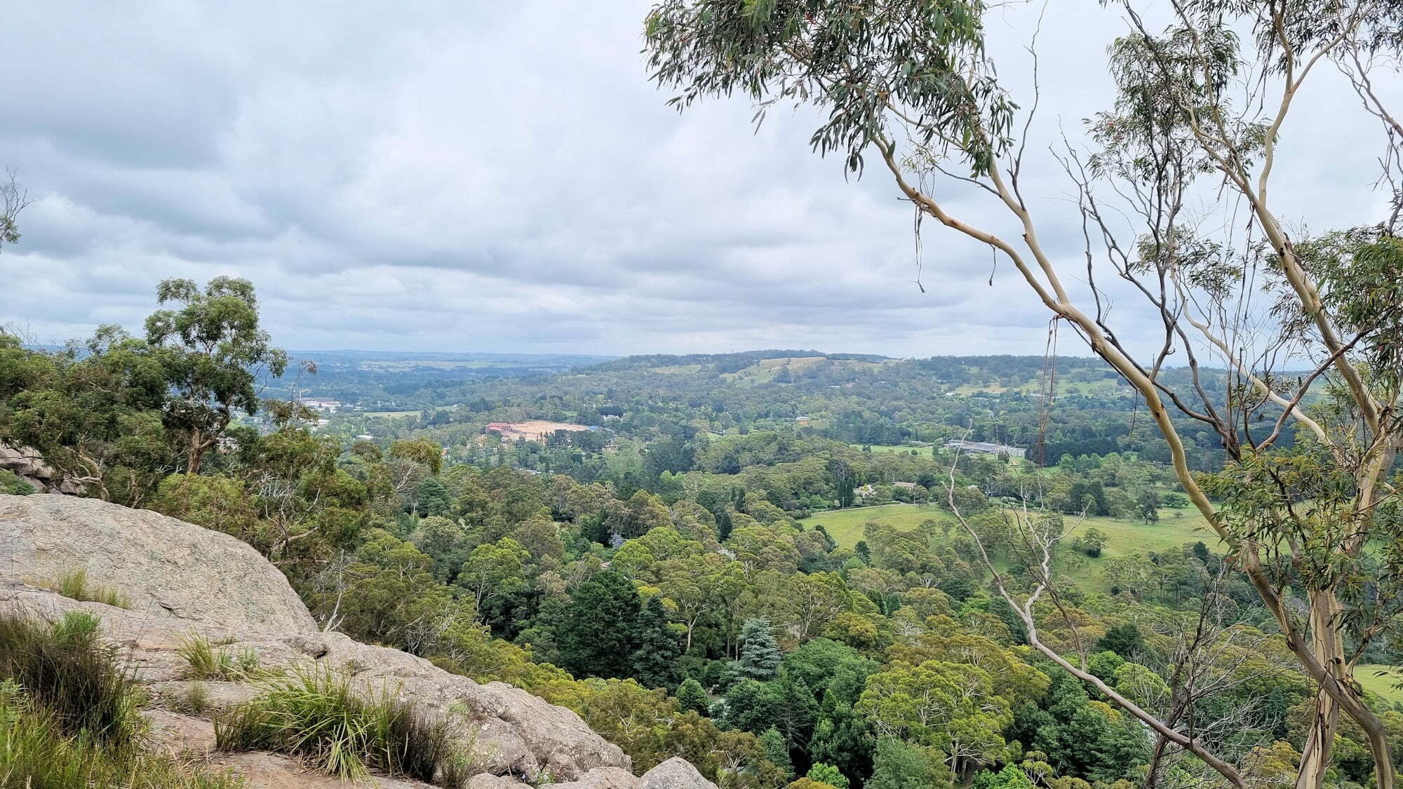
Only a ten-minute drive from the centre of Mittagong, the Box Vale Walking Track and Tunnel is an amazing bush walk. Not only do you get to see Australian bush, but a rail cutting and old, disused tunnel.
There are two easily accessible places to start the walk. The first is closer to Mittagong but around 3 to 5 hours for the return trip. The second is closer, with a 4km return walk, taking about 30 to 45 minutes each way.
We chose the second option and parked near a locked gate at the start of a fire trail.
Box Vale Walking Track Parking Area
The Fire Trail Section
Maintained to ensure access for firefighting, the fire trail is an easy walk. Not far along the trail, look out for a sign on the right-hand side. This is where the Box Vale Walking Track diverges. It is narrow and overgrown, so easy to miss.
Start of the Track
Trail to the Tunnel
Once you see the post with an arrow, follow the tack into the bush. There is no official sign here, so someone has written “tunnel” on it with an arrow. From this point, the vegetation changes for that found on the fire trail. It becomes denser with more ferns and undergrowth.
Not long after crossing a bridge over a small creek, you arrive at the tramway cutting.
Sign Post on the Fire Trail Leading to the TunnelBridge on the Box Vale Walking Track
Tramway Rail Cutting
This former railway line was used to transport coal from the Nattai Region to the main southern line at Mittagong. Although the rail lines are long gone, the cuttings remain and form a great part of the walk. This section of the walk can become extremely muddy, so wear good waterproof boots.
The scenery here is great, while the overgrown walls of the cuttings give the area a surreal feeling.
Cutting for the old tramwayCutting for the old tramwayFallen Tree in the tramway cutting
Box Vale Tunnel
The highlight of the walk is the 84m Box Vale Tunnel. Once again, good walking boots are required as the floor can be wet and muddy, as well as slippery. Walking through the tunnel was fun, because it was very atmospheric.
Tunnel EntranceTunnel EntranceBox Vale TunnelInside the tunnel
What Did We Think of the Box Vale Walking Track and Tunnel?
The old tramway cutting and tunnel added something different because of the way they are overgrown. The otherworldly feel from the overgrown areas was fun to walk through as well as take photos. Apart from a few areas to get around boulders, the walk was easy because it was mainly flat.
To see what else there is to do in New South Wales, please see some of our other stories.