Tag: Bush Walking

  • Sea Acres Rainforest Boardwalk

    Sea Acres Rainforest Boardwalk

    Sea Acres Rainforest Boardwalk

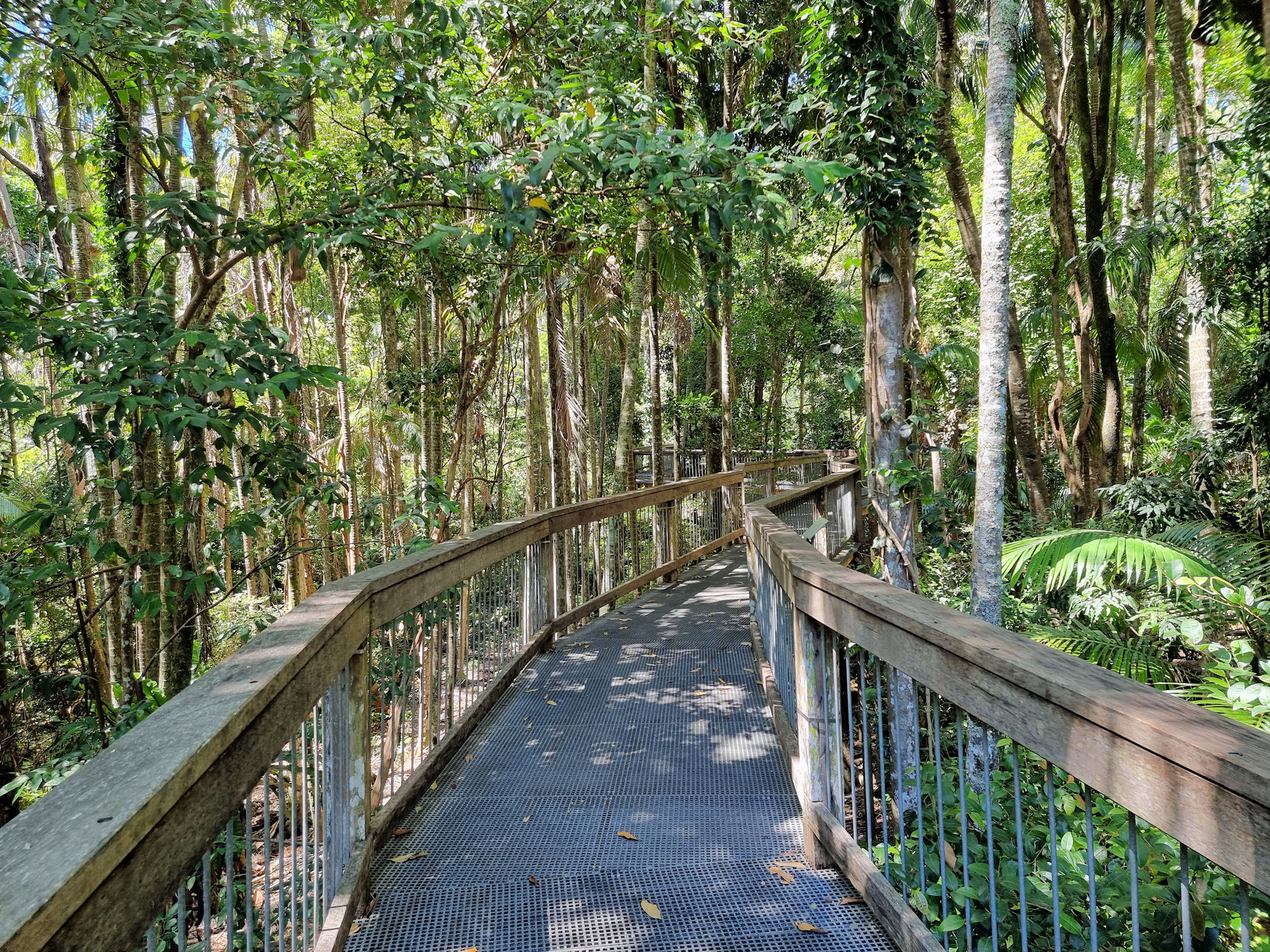
    Taking you through the rainforest canopy, the Sea Acres Rainforest Boardwalk is a 1.3km loop that starts and ends at the Sea Acres Rainforest Centre. Unfortunately, when we visited (December 2022), maintenance on the boardwalk cut the loop because of storm damage. This was not too much of a problem because we retraced our steps and walked the second half from the Rainforest Centre. So, we got twice the walk for the same price.

    How to Get There

    Located only ten-minutes’ drive from the centre of Port Macquarie on the NSW mid-north coast, Sea Acres Rainforest Boardwalk is easy to get to. Well sign posted and with a large carpark, it’s easy to find and access. If you need a drink or something to eat, there is a café at the Visitor Centre with indoor and outdoor seating.

    The staff are very helpful explaining the walk as well as what we should see along the way.

    The Boardwalk

    Rated a Grade 1 track, the boardwalk is flat and wheelchair accessible for its entire length. With numerous stops and information boards, it’s an easy and educational walk. At around 7m off the ground, we could see into the canopy while still seeing the understory.

    Keeping you out of the mud and fallen leaves is a bonus if you don’t have hiking boots, while you still get to experience the rainforest. The information boards also provide a guide to the different trees and their role in the forest.

    What Did We Think?

    This was a quick and very easy walk. A great way to fill in an hour. At the end we visited the café to relax and grab a snack while admiring the rainforest. It would be great for families with kids because it means you’re not walking them through the undergrowth. For people with mobility issues, it is excellent as it’s flat and accessible.

    To see what else there is to do in New South Wales, please see some of our other stories.

    Our photos are available for purchase on

  • Urunga Lagoon Footbridge

    Urunga Lagoon Footbridge

    Urunga Lagoon Footbridge

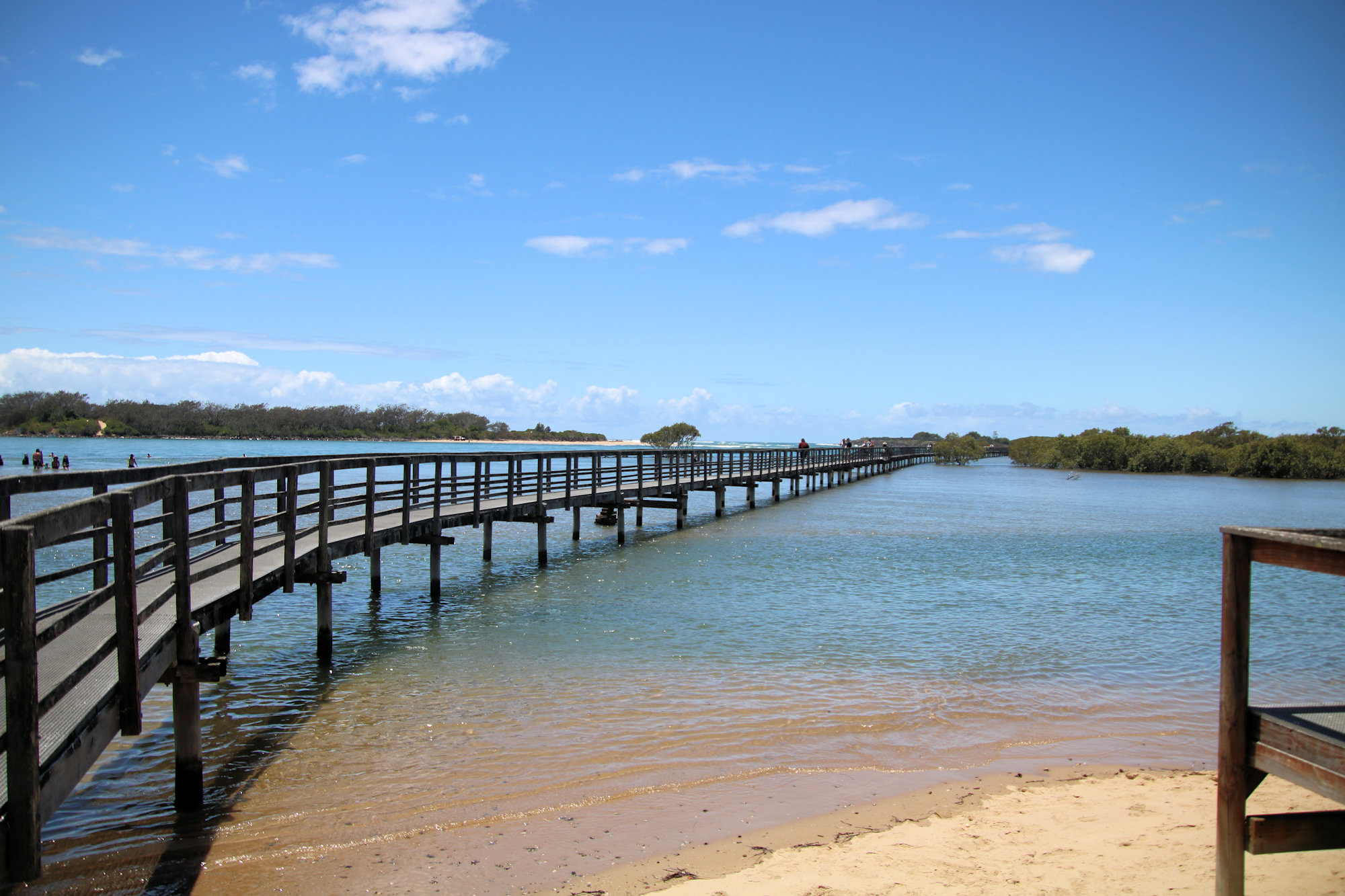
    Located in Urunga on the NSW mid-north coast, the Urunga Lagoon Footbridge is a 1km long walkway through mangroves to the Pacific Ocean. Commencing in 1988, construction continued in three stages, until final completion in 2010. This wheelchair friendly walk is a great way to experience the coast from a sheltered lagoon to mangrove swamps and the surf of the Pacific Ocean.

    Getting There

    Urunga is a 90 minutes drive north of Port Macquarie, or a 30 minute drive south from Coffs Harbour. The small carpark near the caravan park quickly becomes full, but we were luck and found a spot straight away.

    Facilities

    A toilet block and change rooms allow you to change before and after swimming. Showers also let you wash the sand and salt water off before you leave.

    When we visited, a coffee van was selling refreshments and snacks, which was great as we bought some and relaxed before walking on the footbridge.

    Urunga Lagoon Footbridge

    At around 1,000m long and flat this is an easy walk, which also makes it popular. Families were having a great time, with kids jumping off into the water and swimming around. Remember to check the tides and water depth though, as the area is not patrolled by lifeguards.

    Around 300m into the walk, a second path diverges to the right into the mangroves. Badly damaged, this section is closed while awaiting repairs.

    Walking along the footbridge, we had a great view of the Urunga Lagoon and surrounding mangrove forest. Extending as far as the mouth of the Bellingen River, the footbridge finishes on a surf beach where you can see the Pacific Ocean.

    What Did We Think?

    This was a great place to sit and relax and then have a nice easy walk. We came here after visiting the Urunga Wetlands Boardwalk. This is a good order to do them, as there are no facilities at the wetlands and access to the water is not allowed. Doing them this way would let any kids have a swim, go to the toilet or buy some drinks and snacks.

  • Urunga Wetlands Boardwalk

    Urunga Wetlands Boardwalk

    Urunga Wetlands Boardwalk

    The Urunga Wetlands and Boardwalk are the result of a ten million dollar project to rehabilitate an old mining processing plant. The result is a beautifully restored wetland and the containment of the tailings and their heavy metal content.

    History of the Site

    In 1969, Broken Hill Antimony Pty Ltd established an antimony processing plant on the site. Located at Hillside Drive, Urunga the processing plant extracted the heavy metal antimony from its ore, stibnite. After the ore was delivered to the site, it was crushed, and the antimony removed using complex chemical reagents and equipment.

    Although the processing produced an estimated 400 tonnes of product, it generated 16,000 tonnes of waste. These waste tailings were rich in heavy metals including antimony, arsenic, lead and reagent residues of cyanide and cresylic acid. Poor management of the tailings resulted a spreading plume of waste contamination the surrounding wetlands.

    Although sold to a private owner after closure in 1974, no clean-up or remediation work occurred.

    A combination of soluble leachate and insoluble sediments impacted the wetland causing largescale die back of the swamp paperbark (Melaleuca quinquenervia) and damage to the habitat of the wetland for birds, plants and fish.

    The Rehabilitation Process

    The Environmental Protection Authority declared this a remediation site in in 2002 because of long-standing concerns by the community, environmentalists and Bellingen Shire Council. With the owner unable to fund the remediation work ownership of the site transferred to the NSW Government as Crown land. In 2011 a remediation order was placed on the site.

    Around four hectares of land needed excavation. A total of 36,400 tonnes of contaminated soils and sediments required removal. Stockpiled and then treated with chemicals to stabilise it, the waste now sits in an engineered containment cell constructed on-site. Remediation resulted in a total of 224 tonnes of antimony, arsenic, lead and mercury removed from the environment.

    Only a grassy mound now indicates where the containment cell is located, but beneath that surface is an engineered structure with 15 different layers.

    The Site Today

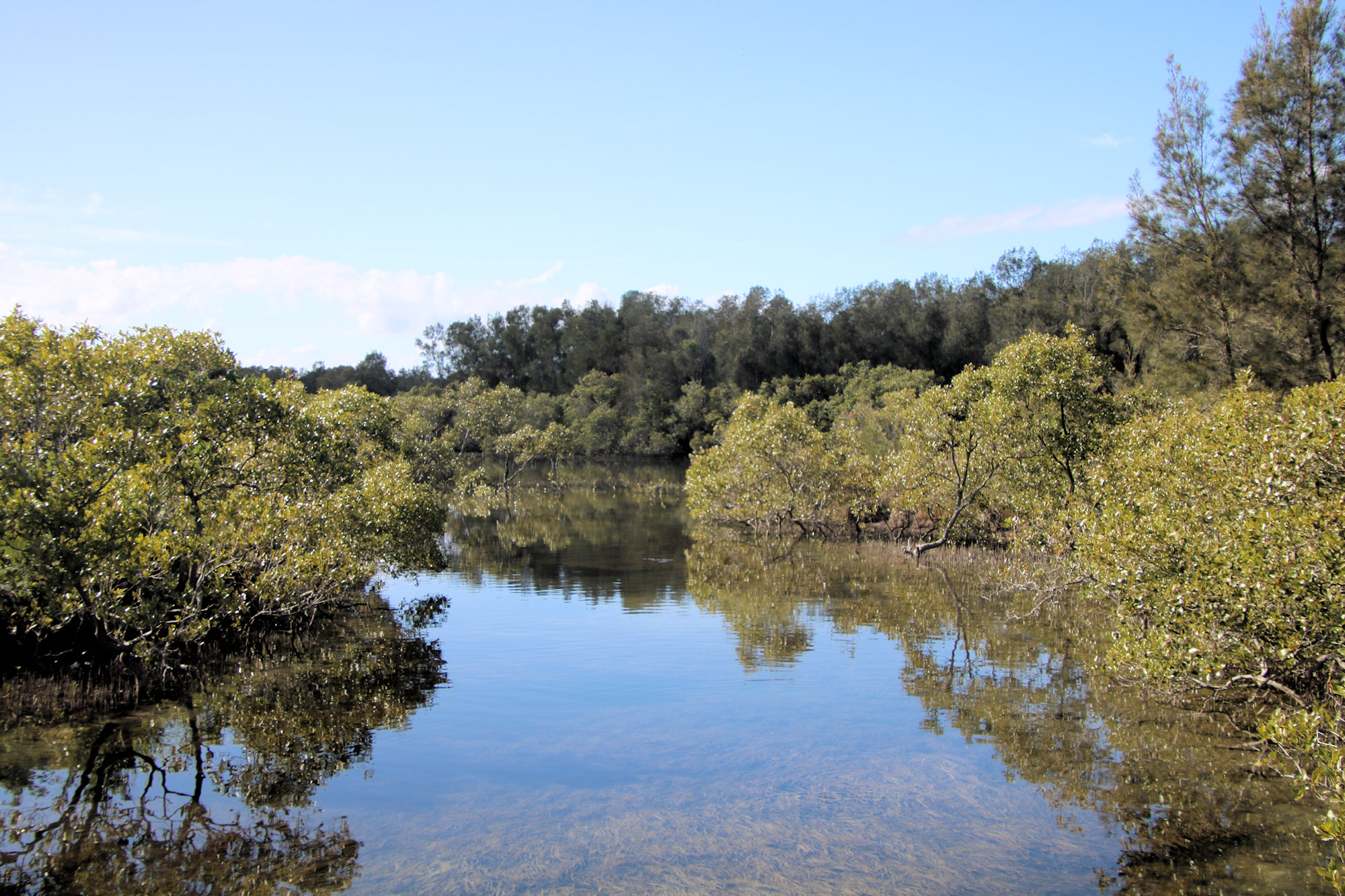
    If you were unaware of the site’s history, you might think the area had not required rehabilitation because it looks so amazing. The initial walk winds through replanted forest before reaching the wetlands. At this point a 150m boardwalk crosses the water, allowing you great views of the melaleuca forest on the far shore. Along the way, sedges, lilies and other wetland plants line the shores.

    On the far side of the boardwalk the track continues completing a loop to the carpark. Along the 450m of walking track, information boards show the layout of the area, provide you the history of the site and show what wildlife you may see.

    How to Get There

    A carpark on Hillside Drive, Urunga has plenty of room. However, there are no facilities here apart from rubbish bins, so bring your own food and refreshments.

    Swimming and Canoeing

    Visitors should stay on the paths to avoid disturbing wildlife and allow the vegetation to establish. Although the water appears clean, traces of heavy metals are still present, so swimming and boating are not permitted.

    What Did We Think?

    We enjoyed the walk and were amazed how well the rehabilitation turned out. This was a great place to visit while we were in Urunga.

    Our photos are available for purchase on

    To see what else there is to do in New South Wales, please see some of our other stories.