Tag: Bushwalking

  • Arboretum and Bellbird Tracks in Strickland Forest
    Arboretum and Bellbird Tracks in Strickland Forest

    Strickland State Forest

    Two great walks located in the Strickland State Forest are the Arboretum and Bellbird Tracks. Located on the Central Coast of NSW, less than an hour’s drive north of Sydney, south of Newcastle, or a 10-minute drive west of Gosford, Strickland State Forest is a great place to visit.

    The forest is only five square kilometres but contains an impressive variety of flora and fauna species, along with extensive walking tracks. These wander through varying forest types, past waterfalls, under cabbage tree palms and along creeks.

    The forest has excellent picnic facilities including an all-weather shelter, picnic tables and toilets located at the Banksia Picnic Area

    Arboretum Loop Track

    Located at the end of the Strickland Forest Road, the car park for the Arboretum Loop Track is well maintained but has no facilities. You will find these at the Banksia Picnic Area, which you pass on your way in.

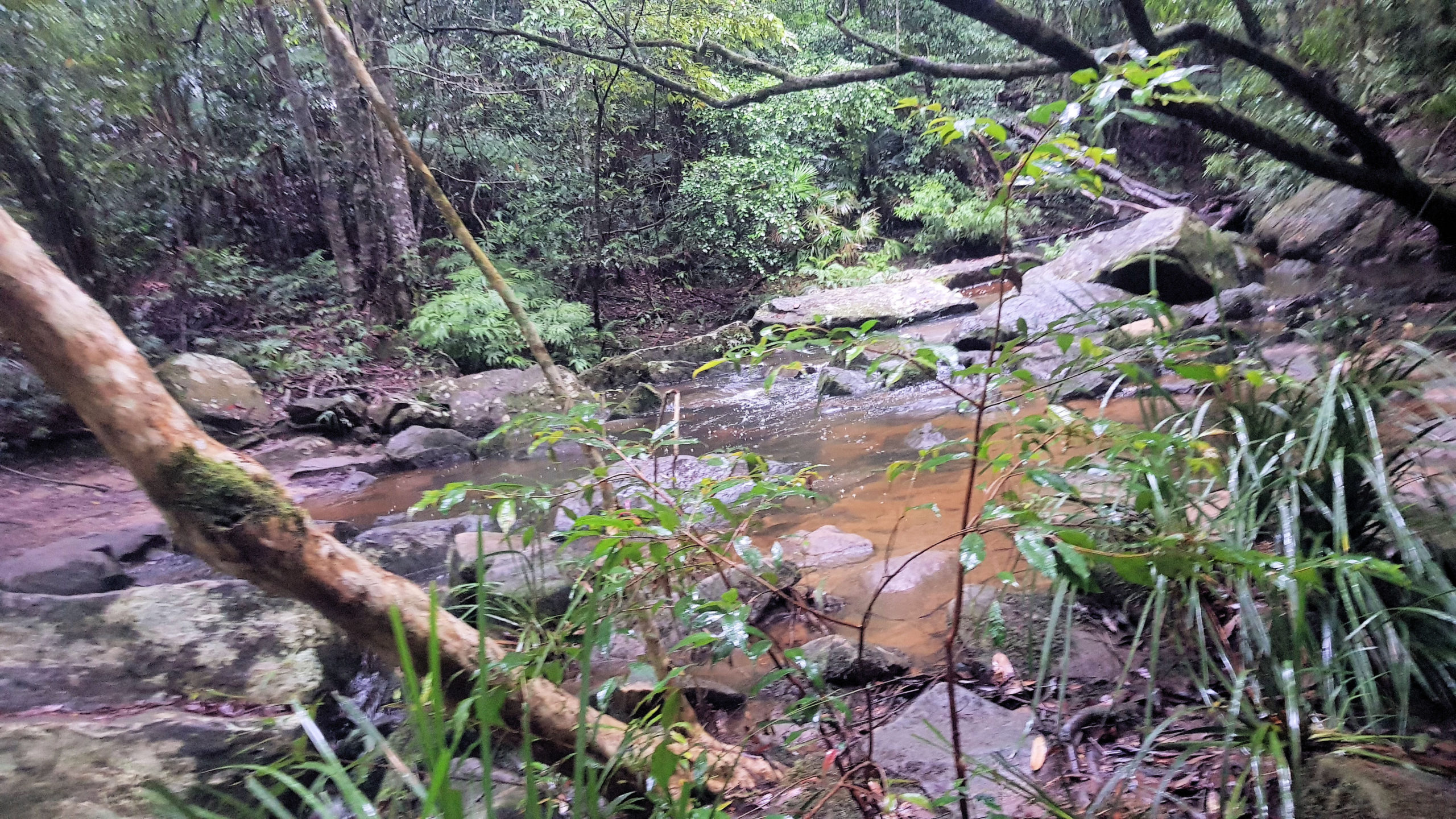
    From the car park, walk down the trail to Stoney Creek, which has rocks laid out as steppingstones. On our visit, the creek was running high, because of rain and many rocks were under water and slippery. We took our time crossing to make sure we didn’t slip.

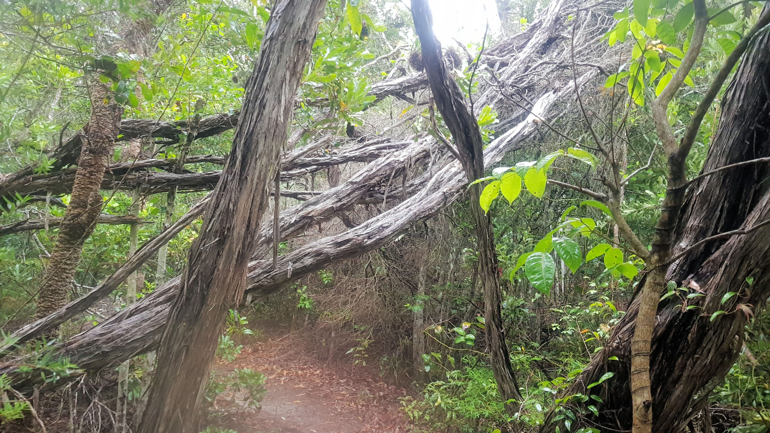
    The trail then winds through forest, while staying close to the creek. On reaching Narara Creek, you will find a suspension bridge, which make the creek crossing easy, safe and, fun.

    Continuing along the trail you will come across a sign to the Arboretum Loop. This area is great to walk through as much of it was planted over 100 years ago making the trees large and mature. Many of the tree are have signs to show their species, which adds to the interest of the walk. At two points large trees have fallen over the creek, forming natural bridges, although they are covered in moss and slippery.

    Bellbird Track

    Located not far from the Arboretum Track, the Bellbird Track starts at a well-made signpost, making it easy to find. From here it winds through fern filled forest, before reaching a creek crossing. The creek was running high because of recent rain, which made the crossing difficult. Usually, the concrete steps are easy to use, but these were under water.

    We found leaches on our legs after the crossing, which we quickly removed. Leaches are common in the area, particularly after rain, so be prepared for them.

    Things to be Aware Of

    Falling Pinecones

    Signs at the car park warn of falling pinecones in some seasons, so be aware of this.

    Creek Crossings

    Depending on the tracks you take, several creek crossings may be required. After heavy rain the water will be higher and the rocks in the water may be slippery when standing on them to cross the river, so be careful.

    Leaches

    Leaches live around the creeks and in the wet undergrowth, especially after rain when they are very active. Assume that you will be bitten by them and come prepared with salt and anti-leech sprays as well as decent boots.

    What Did We Think?

    Apart from the leaches and the slippery creek crossings, we had a great time. It was wet and raining, but this added to the atmosphere in the forest, with everything being wet and damp.

  • Munibung Hill Lake Macquarie

    Munibung Hill Lake Macquarie

    Munibung Hill Lake Macquarie

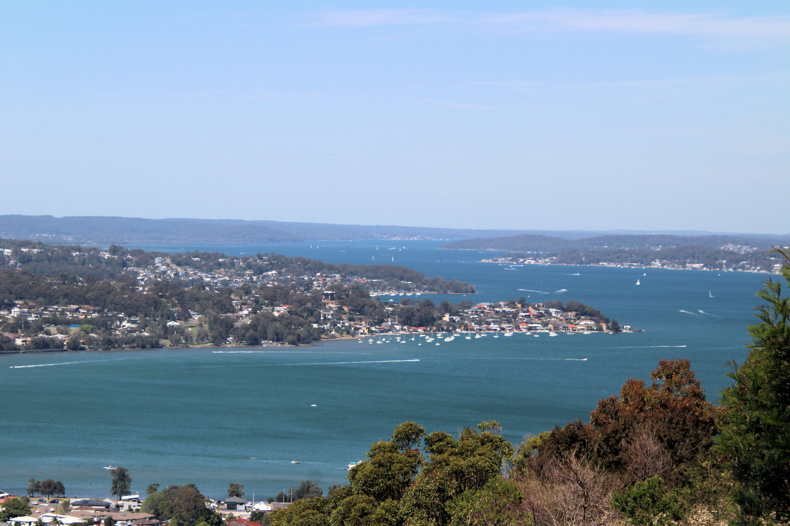
    Located in Lake Macquarie, Munibung Hill provides amazing views over the Lake and nearby suburbs, making it a great place to visit. There are several possibilities for the meaning of the name, being either fruit, or the meeting of the tribes.

    There are several ways to reach the top, with the area having many trails, but we chose to start from Lawson Rd and walk to Lucilla Ridge where one track starts. This walk is along a dirt track, that has become badly eroded and slippery in places, so wear good walking shoes. Although some places are steep, they are also short, so take your time, it’s only a 500m walk to the top.

    From the ridgeline, the views are wonderful, because the elevations allows you to see over Lake Macquarie. You are also able to look over the surrounding suburbs and remnant bushland.

    A fence along the track prevents access to an old industrial site previously used as a smelter. Remediation works have been undertaken to remove the lead contamination the area, but access it still prohibited.

    Unfortunately, despite the cultural heritage in the area (aboriginal and European), no signage or information boards are located here. Remember to bring water with you and wear sunscreen, as there little shade and in summer it can be very hot.

    This is a fun, short walk which gives you great views over the area.

    To see what else there is to do in the Hunter Valley, please see some of our other stories.

    Our photos are available for purchase on

  • Caves Beach Amazing Beautiful Views

    Caves Beach Amazing Beautiful Views

    Caves Beach

    Located only 40 minutes south of Newcastle, Caves Beach is a relaxed southern suburb of Lake Macquarie.  Named after the network of sea caves to the south of the beach, it is a great place to relax and explore the coast. If you want to explore the cave, make sure you go at low tide because at high tide, the cave is flooded, and access is cut off.  You can check this on the internet.  During the week we have found it to be quiet, but on a sunny weekend, it will be crowded, with people swimming and exploring the cave.

    If you want to swim in the ocean, check that a lifeguard is on duty in the tower and swim between the flags to be safe.

    Near the lifeguard tower is a steel sculpture, Norfolk 2019 by Kelly-Ann Lees, which reflects the seed cones dropped by the Norfolk Pines which are found in the area.

    The Caves

    Entering the cave is not dangerous.  There are no warning signs and access is free. You can walk through the cave and out the other side to a rock platform.  The cliff here also has some smaller caves to look at.  The platform itself is quite interesting, with rock pools with algae growing in them.  Be careful of your footing because the rocks can be slippery. Remember to check the tides, because the cave and rock platform are flooded at high tide.

    Food and Refreshments

    There is a kiosk next to the beach selling snacks and cold drinks during the week.  Not far before the entrance to the carpark, you will find cafes and restaurants, if you want something more substantial. The beach area near the surf house also has barbecues and picnic area, along with a change house and toilets.

    Caves Beach to Pinny Beach The Wallarah Coastal Walk

    For some excellent views of the coast and to see some nice beaches, there is a walking trail from Caves Beach to Pinny Beach. The trails are rough in places and there are steps to climb, but it is generally an easy three kilometer one way walk. Along the way, lookouts let you look over beaches and rock platforms. Small trails also allow access to the beaches, which is a great way to extend your exploring of the area.

    Spoon Rocks

    Originally built by a mining company for coal transportation, the breakwater’s shape is how this Spoon Rocks received its name. The spoon shape is visible on your way down the track to the beach.

    The mining venture, with Silver Valley Minerals, didn’t proceed after it’s construction. However, the breakwater remains and provides protection from the swell at the beach. Although the water looks inviting, Spoon Rocks Beach is not patrolled, so swimming is not advised.

    Pinny Beach

    Located in Wallarah National Park, the Coastal Walk passes through locked vehicle gates. Designed to stop cars accessing the National Park, not people on foot, it’s safe to go past them. The views over the beach are amazing, but this was the end of our walk, so after a break for a snack, we returned to Caves Beach.

    To see what else there is to do in New South Wales, please see some of our other stories.

    Our photos are available for purchase on