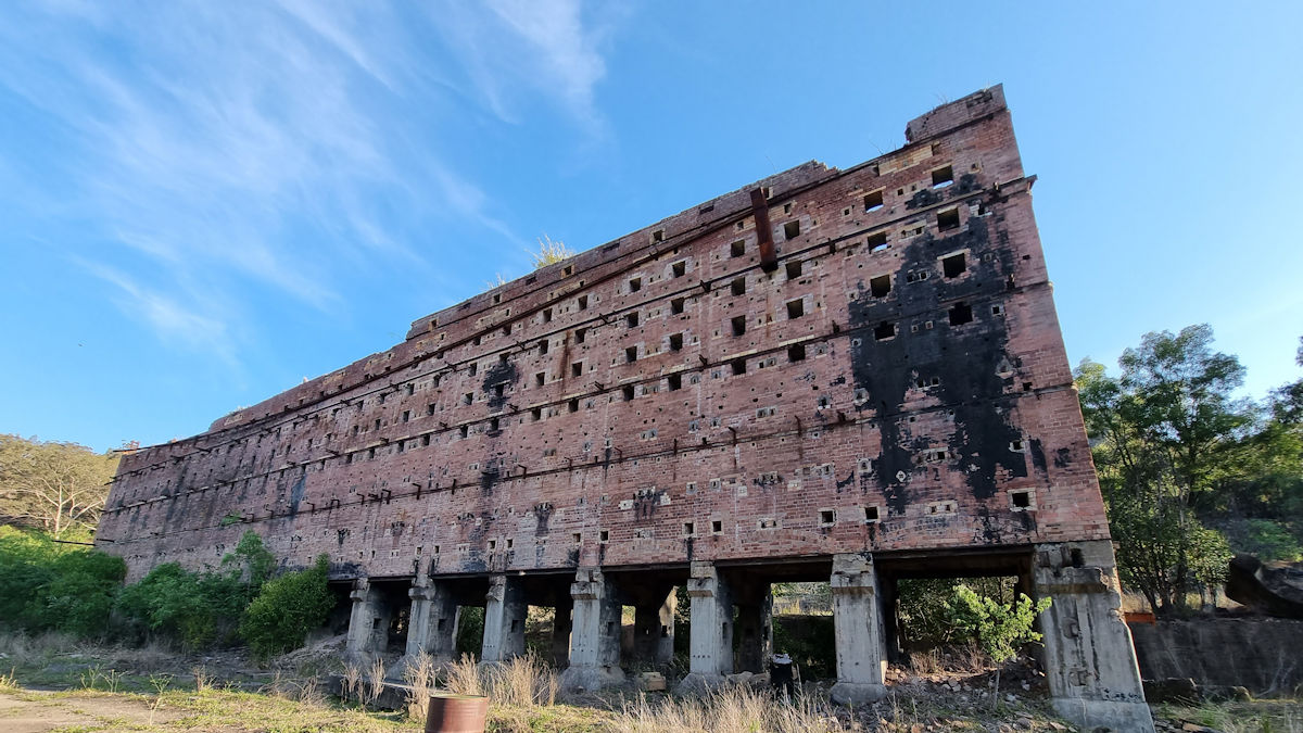
Located in the Capertee Valley the Glen Davis Oil Shale Ruins were once a thriving industrial complex. Established in 1940, the Glen Davis Shale Oil Works were a strategic investment that produced petrol for New South Wales while at the same time providing work for unemployed miners. The process involved mining shale using the underground bord and pillar method. This shale then underwent treatment at the adjoining plant to extract the oil. Refining the oil produced petrol which at the time was important for the war effort.
Dwindling shale reserves, old machinery, and poor productivity led to the facility closing in 1952. All removable items were sold leaving only the buildings which are now ruins.
Getting There
Located in the Capertee Valley, the ruins are on private property, with access by guided tour only. We drove from Kandos, through the beautiful Capertee Valley and met our guide at the gates to the property. Payment is either by bank transfer prior to the tour, or cash on the day. Electronic payments can’t be processed because there is no phone reception.
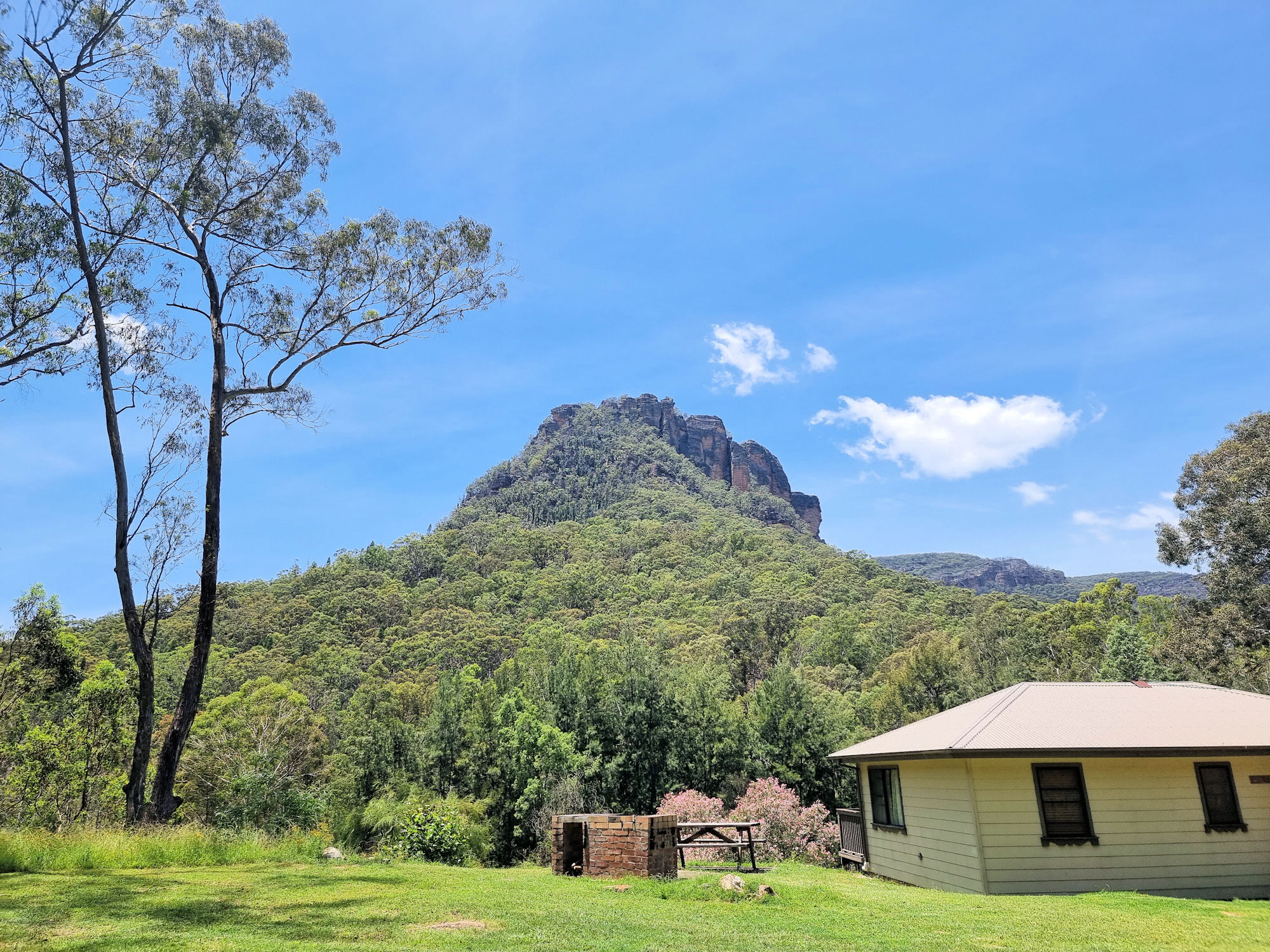
On arrival, wait at the gates to “The Poplars” in your car until the guide arrives. They will let you through the gates and run through a safety briefing before starting the tour. While we waited we took the chance to look at the amazing valley walls that make up the Capertee Valley. Covered in gum trees, with the setting sun giving the rocks a red glow was a bonus to the trip.
Remember to bring lots of water and sunscreen because it can get very hot.
The Glen Davis Oil Shale RuinsTour
Running around two hours, the tour takes you through the remaining structures on site. The guide was very informative and covered everything from the area’s history, how the plant worked and why it closed. For many of the buildings, he had photos of how it used to look.
The site has been used for TV show such as SAS Australia, so the guide pointed out where it took place.
The tour takes a loop through the site, so you are always seeing new sites, rather than back-tracking through places you have already see. This is great because it means the whole two hours was full with no repetition.
Unfortunately the ruins are not heritage listed, so have no protection. Also, the current owner is selling the property (as of November 2023), so a new owner is not obliged to provide tours, or even keep the buildings as they are.
Located in the Wollemi National Park the Newnes Industrial Ruins is a heritage listed collection of decaying ruins of a once thriving shale oil processing plant. Established in 1902 and closed in 1932 due to the availability of cheaper crude oil, all that remain are decaying buildings and processing plant. The area is great for bushwalking with great tracks to the ruins and the surrounding area.
Getting There
The drive from Lithgow to the ruins takes a little over an hour, or three hours from Sydney. Road quality varies from excellent sealed road, narrow winding road down to the Wolgan Valley and dirt road for the final 12km. The views from the road as you descend from the top are amazing but, unfortunately there are few spots to stop and take advantage of them.
Where To stay
Accommodation is available through the Newnes Hotel which has five self contained cabins. The hotel itself does not offer rooms and no longer operates as a hotel. You will need to brings your own food and drinks.
Camping is available at two spots on either side of Wolgan River, but you will need a four-wheel drive to cross to the far side. Booking for campsites is through New South Wales Parks and Wildlife.
We chose to stay in one of the cabins which proved to be very comfortable, with a comfortable bed and nice shower. You do need to bring your own bedding including sheets, blankets and pillows. You will also need to bring all food and drinks as there isn’t a kiosk on site.
View from our cabin balconyCabin No.4Cabin No.3The five cabins
Newnes Hotel
On arrival, we went to the Newnes Hotel to collect our keys. the owner also gave us a booklet with information on the area and a list of the walks available. From here we went to our cabin and unpacked before exploring.
Scattered around the Hotel area are some relicts of the past. Some old rail cars line the road to the river crossing and some old buildings are near the river bank. Across the road from the Hotel is a great view of the Wolgan River. With the recent rain it was flowing well.
Newness Industrial Ruins MapNewness HotelThe Wolgan RiverOld railway carOld railway carTable and seat near the Wolgan River
Newnes Industrial Ruins Walk
Deciding to walk to the ruins first, we headed to the river crossing. As we were walking, we waded across, as the stepping stones were under water and did not look safe. If driving, you will need a four-wheel-drive to cross the river. Otherwise, leave your car at the crossing and walk across.
From the river to the start of the track takes around 30 minutes. It is flat and well graded, so an easy walk.
A locked gate is at the start of the walk along with a detailed map of the industrial ruins. The first ruins are the most interesting, a row of brick bee hive kilns. There are still 13 kilns in good condition with the other 80 odd kilns in various states of decay.
Also in the area are the remains of retaining walls and ruined buildings. It takes about two hours to walk around and take in the atmosphere of the place.
Wolgan River CrossingUnstable stepping stone over the Wolgan RiverTrack to the Industrial ruinsPart of the ruins walking trackBeehive kilnsDamaged beehive kiln showing the interiorIntact beehive kilnThe surrounding mountains Fireplace and chimney ruinOld brick steps in the industrial areaSign near the ruins detailing the operationRemains of the industrial area, now just ruinsOld industrial area brick wallWhat used to be the railway sidingEscarpment
Philosophers Walk
This walk starts at the far side of the camp ground, where it crosses Little Wolgan Creek. As we were staying in the cabin, we walked the short distance to the creek early in the morning. Crossing the creek was easy, but after rain, and with a higher water level, it might be difficult without getting wet.
Heading uphill, the first section of the track is steep and rocky in places, but with amazing views of the surrounding mountains. Little piles of stones mark the way, and the track had recently been cleared, so it was easy to follow. Along the way we passed small rock overhangs and tiny caves, but didn’t see anything inside.
At the top of the hill you are rewarded with views over the forest, river and out to Mystery Mountain. After recovering from the uphill walk, we set off for the return leg, which was all downhill.
The Return Leg
Walking past the ruins of the manager’s house all we saw were old brick stairs, but not far away were two old Zephyr cars. A manager left them here and after several bushfires and forest regrowth they are rusty wrecks surrounded by trees.
This was a great walk with views through trees to the mountains, old ruins and rusty cars. With more time we would have added the Hidden Valley walk, but will do that on our next visit.
Camping ground surrounded by bush and mountainsThe Philosopher’s Walk trackSteps on the The Philosopher’s WalkRocks to climb over on the Philosopher’s WalkOld brick steps at the manager’s residenceTwo rusted out Zephyrs in the bush near the manager’s residencePhilosopher’s Walk
School Ruins Walk
Starting behind the cabins, this short walk takes you through trees and across a small creek to what is left of the old school. Time, weather, and bushfires have left only brick chimneys and scattered bricks to show where the school once stood. It was hard to imagine that a small town once stood here that required a school, when there is so little of it left.
Dry stone wall in Capertee CreekSchool house ruinsThe surrounding mountains and eucalyptsSome of the surrounding bush and mountains
What Did We Think?
We loved it here and could have stayed longer, because there are so many more walks to do. We would have liked to the walk to Hidden Valley and the Glow Worm Tunnels, but just didn’t have the time. With the old industrial ruins, great bush walking and amazing accommodation, this was a great visit.
To see what else there is to do in New South Wales, please see some of our other stories.
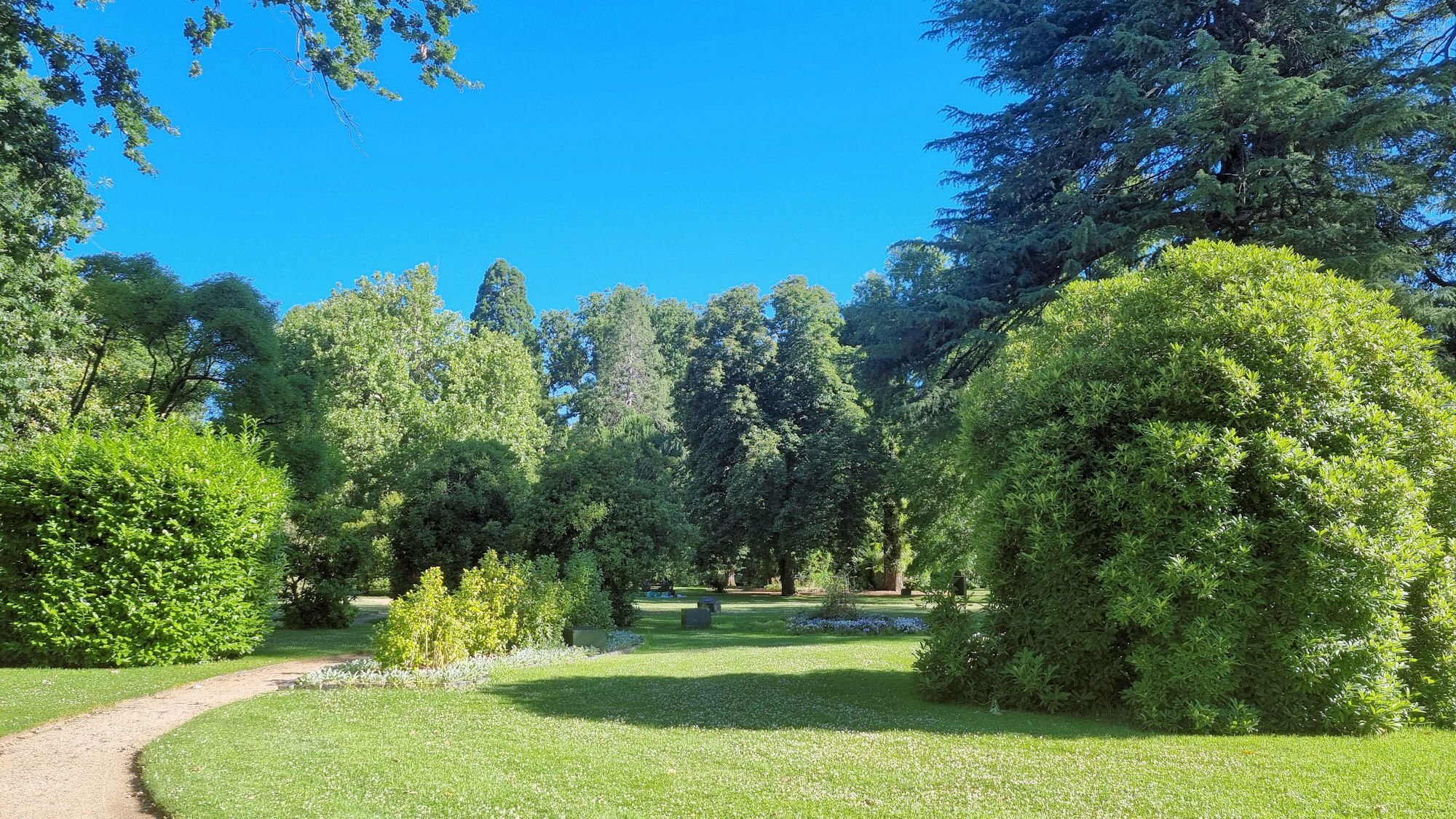
Looking for something to do in Orange after we arrived in the late afternoon, we discovered Cook Park. Named after Captain James Cook, the park is a beautiful escape, with shady trees, grassy picnic areas and a duck pond. Laid out in the Victorian style when designed in 1873 many of the original straight paths remain.
We walked along the avenues of trees pleased to escape the summer sun and spent some time relaxing near the duck pond. As a surprize, a metal sculpture of a dragon sits in the pond.
Many people were enjoying the grassed areas with family picnics along with others simply walking around enjoying the gardens.
A greenhouse with seedlings, ferns and orchids was interesting to walk through, with hundreds of potted plants on the shelves.
Also, in one corner of the park sits a small war memorial with an old, World War One German field gun and a cannon. The cannon previously defended Sydney but was moved here as a memorial in 1906.
A great place to relax and if you have kids, there’s plenty of space for them to run around.
Avenue of trees in Cook Park OrangePath Running Through the ParkReflections in the PondTrees and Greenhouse in Cook ParkInside the GreenhouseFK 16 77mm German Field Gun24 Pound Smooth Bore Cannon
To see what else there is to do in New South Wales, please see some of our other stories.