Tag: Hiking

  • Mungo Rainforest Walk Myall Lakes

    Mungo Rainforest Walk Myall Lakes

    Mungo Rainforest Walk Myall Lakes

    Set in the Myall Lakes National Park New South Wales Australia, the Mungo Rainforest Walk is an easy 1.5km walk near the lake shore.

    Getting There

    A 45 minutes car trip from Bulahdelah will take you via the Bombah Point Ferry. Running every 30 minutes the ferry cost us $5.50 (in April 2022) for a car. They take cash only as they have no eftpos facilities. Caravans cost more and the ferry only takes six cars at a time. We haven’t used this ferry before so that added something extra to the day. If you don’t want to use this option, driving via Hawks Nest will add 40km to the trip.

    We parked at Mungo Brush Campground, although you could park at Dees Corner Campground, because the walk is a loop. The area is managed by New South Wales Parks and Wildlife, so an entry fee is payable.

    The Track

    Starting at Mungo Brush Campground, the track heads into the forest, where we found an information board. This showed the track and detailed animals and birds we might see. The blue area crossed by the track is a depression that floods in wet weather. Fortunately, an alternate path is available, which we had to use because of recent rain.

    The Rainforest

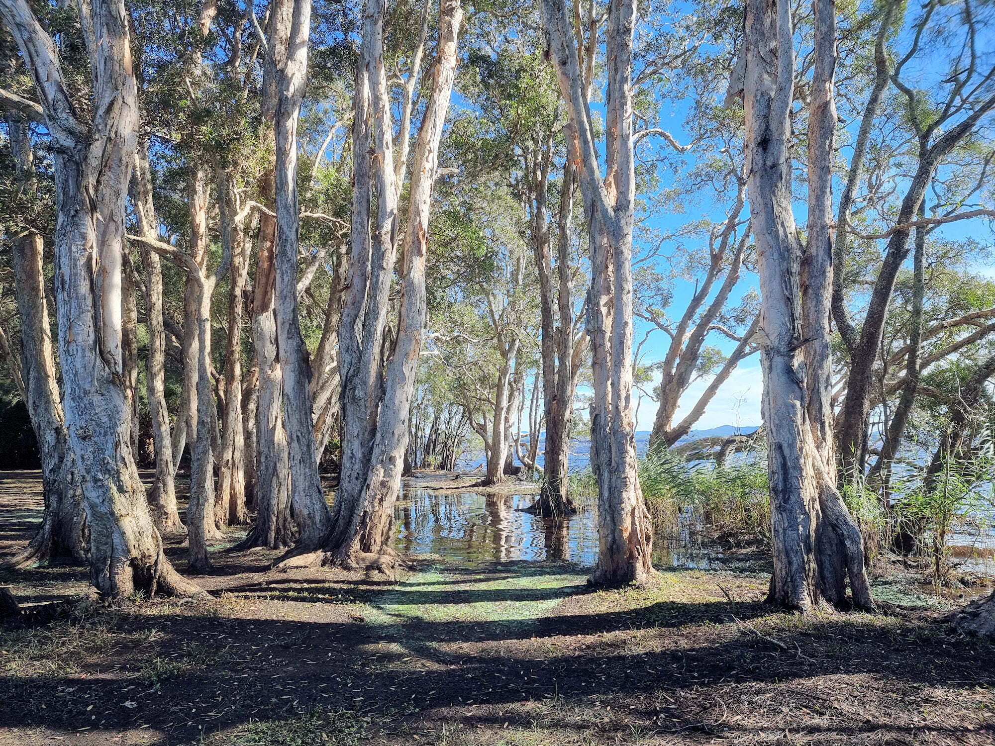
    The track loops through the rainforest which consists of cabbage tree palms and coastal rainforest trees. At times it gets close to the lake where you are able to see the trees growing into the lake shore. Generally flat, the track was well maintained and apart from stepping over tree roots did not have many obstacles.

    Track to Dees Corner Campground

    The track comes to a T-intersection, pointing to the wet or dry weather tracks. If you want to see Dees Corner, take the dry weather track (it’s dry to Dees Corner). I would suggest wearing walking boots to cater for what ever conditions you come across.

    Wet and Dry Weather Sign
    Wet and Dry Weather Sign

    Dees Corner Campground

    Following the dry weather track takes you to the campground which was closed when we visited due to storm damage. This is a great little area with the gum trees growing down and into the lake.

    From here you can take the track back to Mungo Brush.

    What Did We Think?

    This was a great little walk. Flat, and easy going with lots of rainforest and lake views to see.

    To see what else there is to do in New South Wales, please see some of our other stories.

    Our photos are available for purchase on

  • Ironbark Falls Mangrove Mountain

    Ironbark Falls Mangrove Mountain

    Ironbark Falls Mangrove Mountain

    An overgrown sign marks the start of the walking track to Ironbark Falls at Mangrove Mountain (New South Wales Australia). Very easy to miss, the small parking area is 1.2km along Ironbark Road from the Wisemans Ferry Road intersection.

    Not far from the parking area, a small track leads off to the left, where you will find an information board. If you miss the track turn off, you will come across a small creek. This means you have gone too far, so turn around and go back.

    The Track Down to the Waterfall

    From the information board the track narrows and becomes more overgrown. This provides a really nice atmosphere because you are surrounded by vegetation. Along the way, different plants have name plates, but many are badly weathered and illegible.

    Lower Section of the Track

    As you descend through the valley, the track has areas constructed of uneven rocks, so be careful here. In several areas, where the path is steep, or has uneven surfaces, signs warn you to be careful.

    The moss-covered rocks and ferny understory create a quiet, shady environment that is very peaceful to walk through.

    Things to See Along The Way

    Toward the bottom of the valley, near the falls, a fallen tree, now overgrown with moss lies next to the track. Nearby a raised platform with a chair on it sits over another fallen tree. Although too faded to read, there is a plaque on the platform.

    Ironbark Falls

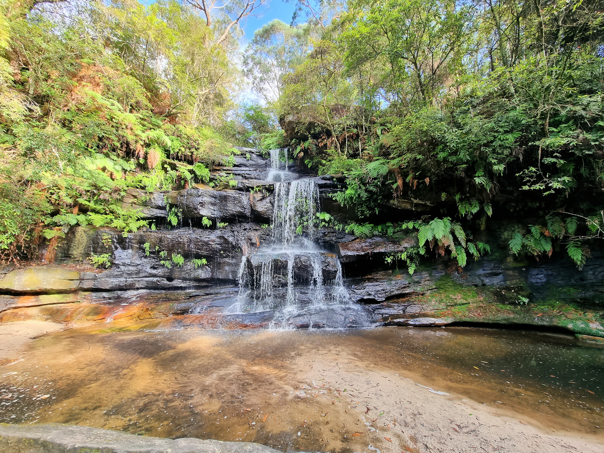
    At the end of the track, you reach the five-tiered Ironbark Falls. During our visit, no one else was around, so we had the whole area to ourselves. Recent rainfall meant that there was plenty of water flowing and the falls put on a great display for us.

    The fern covered banks of the creek surrounding the falls were beautiful giving the whole area a wonderful feeling of tranquillity.

    What Did We Think?

    The entire walk from the car park to the falls only took around 15 minutes, making it a quick but fun hike. The narrow and overgrown trail adds a great feeling to the area, giving it a lovely atmosphere. The falls themselves are really nice, because the look great being surrounded by ferns and shrubs.

    To see what else there is to do in New South Wales, please see some of our other stories.

    Our photos are available for purchase on

  • Cape Raoul Track Tasmania

    Cape Raoul Track Tasmania

    Cape Raoul Track Tasmania

    Getting There

    Located in the south-western section of the Tasman Peninsula, the Cape Raoul Track has a large carpark and toilet facilities at the trailhead. There are no facilities on the track, so take all of the food water and spare clothing you will need. Weather in Tasmania changes quickly, so be prepared for cold windy conditions as well as rain and possibly sunshine.

    The Track

    A disinfecting boot wash at the trail head prevents invasive bacteria infecting the national park, so ensure you use it correctly. Rising gently, the track makes its way through tall eucalypt forest before reaching a junction to Ship Stern Bluff Lookout.

    Ship Stern Bluff Lookout

    At this point, you can either take a 30-minute return detour or continue on the main track. We chose the detour, knowing that we would be too tired to attempt it on our return. The views at the lookout are amazing, but not as spectacular as those along the main track.

    Cape Raoul Lookout

    Only ten minutes past the intersection to Ship Stern Bluff, the first lookout provides a glimpse of the amazing views on offer. From here the coastline to Cape Raoul is visible, giving you an idea of how far you have to go.

    Descending to the Plateau

    Descending to the plateau takes you through dense forest. Although the grade from the top to bottom is very steep, the track uses switch backs to limit the grade. This is the steepest section of the track and the one we found hardest on the return walk. We had regular stops to catch our breath, we were surprised how quickly it was to get back to the top of this section.

    Cape Raoul Plateau

    Once of the plateau, the topography flattens out, making the walk much easier. On this windswept area, the vegetation is hardy coastal banksia around 2m high. The closer you get to the cape, the smaller the vegetation, until only ankle high bushes are growing.

    The trail starts as a cleared path but is replaced by boardwalk as the vegetation becomes more prone to damage by hikers. This certainly makes walking easier.

    Cape Raoul

    On reaching Cape Raoul, you are rewarded with breathtaking views of sheer dolerite cliffs and crashing waves. At this point, we decided to have lunch while admiring the views before walking a little further to view the seals.

    Seal Rock Lookout

    Only a five-minute walk from the main lookout, the seal lookout not only gives even better views, but you also get to see seals. The signpost also conveniently tells you that it is a 3 hour walk back to the car park.

    From this point, the dolerite forms a narrow but high spine running into the ocean which look amazing. Looking carefully at the base of the cliff, the white section is a seal colony, but without binoculars you may not see them. The photo below was taken using a 300mm zoom lens and you can only just see them.

    What Did We Think

    This was an amazing walk, which took us over four and a half hours to walk the 14km return track. With the track recently upgraded and more sections undergoing repairs while we were there, it was fun to walk. Remember to take plenty of water, warm clothes, high energy snacks and be prepared for a weather change. Although the weather may be pleasant when you start it may change drastically while you walk.

    To read other posts about Tasmania, click here.

    Our photos are available for purchase on