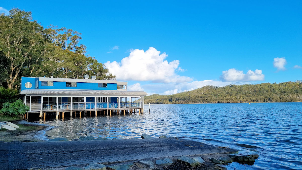
Nestled on the banks of a lake with the same name, Smiths Lake is a small village in the Myall Lakes National Park. We spent a week there using it as a base to explore the surrounding lakes, bush walks and beaches.
Located on the eastern shore of Wallis Lake in Tiona, on the mid-north coast of New South Wales, the Green Cathedral, is a unique outdoor church. Part of the Community of Christ, this is a place of worship, so it is important to remain respectful when visiting.
A small carpark off the main road makes access to the church safe. The church itself is located only a short walk behind the carpark.
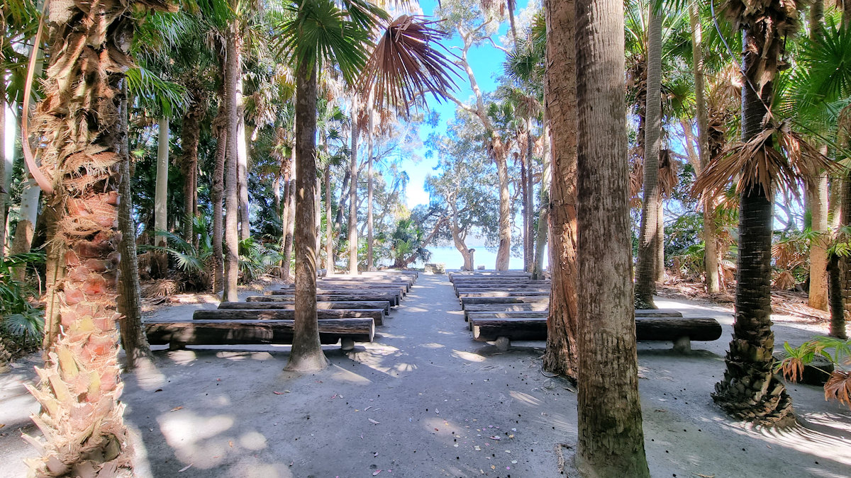
Surrounded by palm trees and with pews made from tree trunks, this really is a unique church. Sitting on the pews and looking at the alter, the backdrop is a view over Wallis Lake. Overall, this is a beautiful and very tranquil place and an interesting stop when in the area.
If you are interesting in a coffee or snack after your visit, the caravan park just up the road offers both.
Dedication board of the cathedralLooking into the Green CathedralInside looking towards the front of the cathedralThe altar
Set in the Myall Lakes National Park New South Wales Australia, the Mungo Rainforest Walk is an easy 1.5km walk near the lake shore.
Getting There
A 45 minutes car trip from Bulahdelah will take you via the Bombah Point Ferry. Running every 30 minutes the ferry cost us $5.50 (in April 2022) for a car. They take cash only as they have no eftpos facilities. Caravans cost more and the ferry only takes six cars at a time. We haven’t used this ferry before so that added something extra to the day. If you don’t want to use this option, driving via Hawks Nest will add 40km to the trip.
We parked at Mungo Brush Campground, although you could park at Dees Corner Campground, because the walk is a loop. The area is managed by New South Wales Parks and Wildlife, so an entry fee is payable.
The Track
Starting at Mungo Brush Campground, the track heads into the forest, where we found an information board. This showed the track and detailed animals and birds we might see. The blue area crossed by the track is a depression that floods in wet weather. Fortunately, an alternate path is available, which we had to use because of recent rain.
Information BoardStart of the trackStart of the Loop track
The Rainforest
The track loops through the rainforest which consists of cabbage tree palms and coastal rainforest trees. At times it gets close to the lake where you are able to see the trees growing into the lake shore. Generally flat, the track was well maintained and apart from stepping over tree roots did not have many obstacles.
RainforestTrack Through the RainforestCabbage tree palms lining the track
Track to Dees Corner Campground
The track comes to a T-intersection, pointing to the wet or dry weather tracks. If you want to see Dees Corner, take the dry weather track (it’s dry to Dees Corner). I would suggest wearing walking boots to cater for what ever conditions you come across.
Wet and Dry Weather Sign
Dees Corner Campground
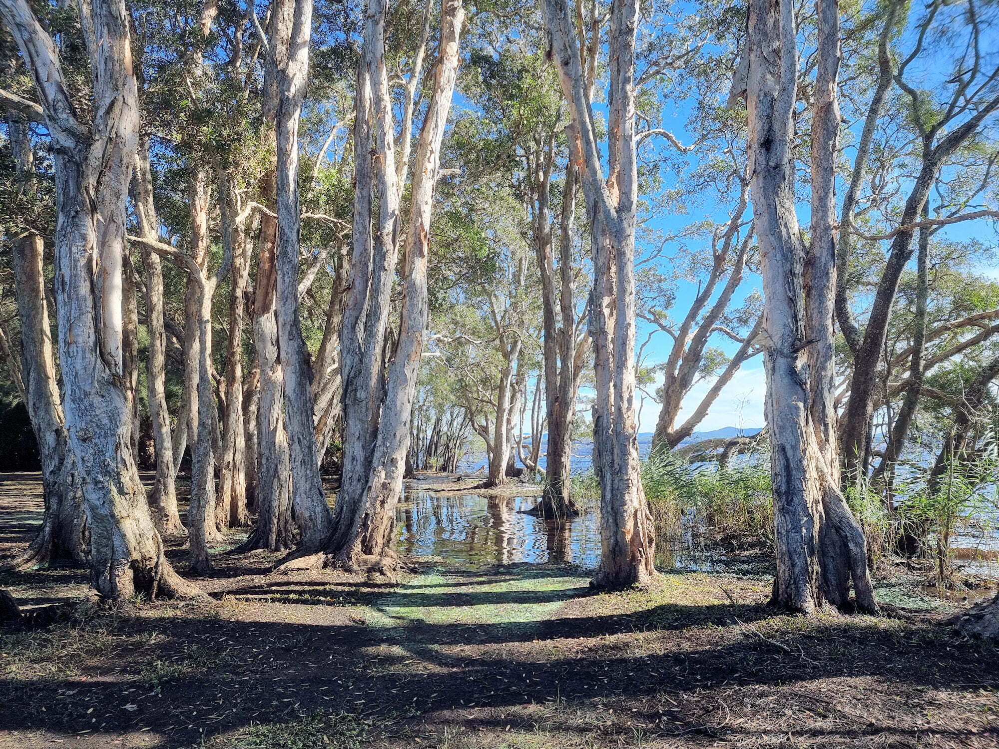
Following the dry weather track takes you to the campground which was closed when we visited due to storm damage. This is a great little area with the gum trees growing down and into the lake.
From here you can take the track back to Mungo Brush.
The Lake shore at Dees CampgroundDees CampgroundThe Lake shore at Dees Campground
What Did We Think?
This was a great little walk. Flat, and easy going with lots of rainforest and lake views to see.
To see what else there is to do in New South Wales, please see some of our other stories.