Tag: National Park

  • Bobbin Head Mangrove Boardwalk

    Bobbin Head Mangrove Boardwalk

    Bobbin Head Mangrove Boardwalk

    Located in the Kuring-gai Chase National Park, access to the Bobbin Head Mangrove Boardwalk will cost $12.00 per car for a day. This will cover you for any other parts of the National Park you visit on that day too. The fee allows you to use the picnic areas and walking tracks in the area, which are well maintained by NSW Parks and Wildlife. Payment can be made at the entry gate as you drive in.

    Our first stop was Empire Marina, where the still morning are provided amazing reflections on the water of the boats and surrounding forest. After this we drove to the southern end of the Bobbin Head picnic area, where the boardwalk starts.

    The Boardwalk

    The boardwalk meanders through the mangroves and there are information signs to help you learn more about the environment and plenty of opportunities to see the mangroves and crabs up close. Because it was low tide when we went, we didn’t see any crabs, only the openings to their burrows.

    The boardwalk is 552 meters long and takes about 15 minutes to complete. Along the way we had more amazing reflections in Cockle Creek as well as views of the mangroves.

    The track continues into the forest as Gibberagong Track, which we followed for a short distance to get more views over the creek.

    This was a great little walk with amazing views. We were the only ones there during our visit early on a winter morning, but in summer it is very busy.

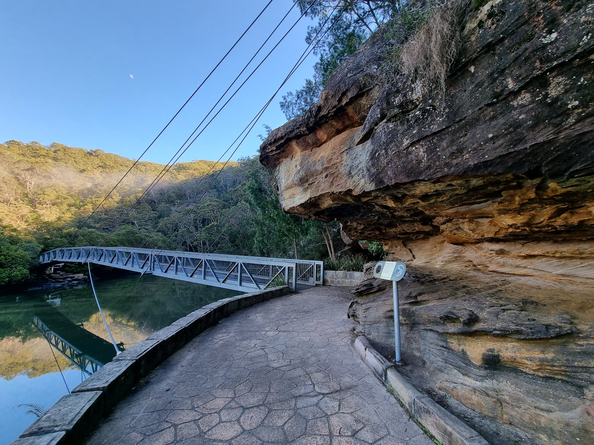
    Suspension bridge through the mangroves
    Suspension bridge through the mangroves
    Suspension bridge through the mangroves Bobbin Head Mangrove Boardwalk
    Suspension bridge through the mangroves
    Metal sculpture of Cunningham's Skink Bobbin Head Mangrove Boardwalk
    Metal sculpture of Cunningham’s Skink
    Cowan Creek Bobbin Head Mangrove Boardwalk
    Cowan Creek
    The boardwalk through the mangroves
    The boardwalk through the mangroves
    Eroded sandstone Bobbin Head Mangrove Boardwalk
    Eroded sandstone
    Trees growing in the sandstone on the river bank
    Trees growing in the sandstone on the river bank
    Brush Turkey Bobbin Head Mangrove Boardwalk
    Brush Turkey
    Stone steps at the end of the boardwalk
    Stone steps at the end of the boardwalk
    View over Cowan Creek Bobbin Head Mangrove Boardwalk
    View over Cowan Creek

    Our photos are available for purchase on

    To see what else there is to do in New South Wales, please see some of our other stories.

  • Palona Cave Walk

    Palona Cave Walk

    Palona Cave Walk

    Located in the Royal National Park, near Sydney the Palona Cave Walk is a short and easy bush walk. It takes you through beautiful temperate rainforest to a large limestone cave and a cascading waterfall.

    Getting There

    We drove to Royal National Park, arriving just after sunrise, so that we could catch the sunrise. Parking at the intersection of Lady Carrington Drive and Sir Bertram Stevens Drive was easy as only two other cars were there. On our return though, it was full, and many cars were parked along the road. Access to the National Park is charged per vehicle and you can pay at the entrance gate or main office. If you plan to visit several parks during the year, an annual pass is available from NSW National Parks and Wildlife Service.

    Entrance near the carpark
    Entrance near the carpark

    The Track

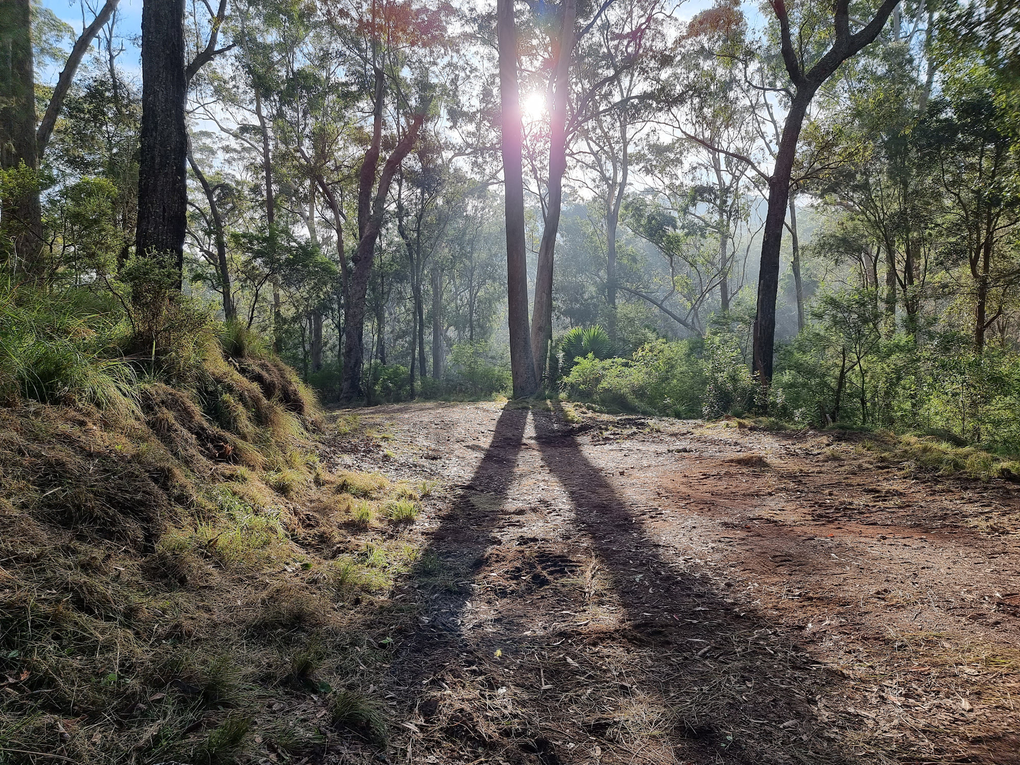
    Starting at the car park the historic Lady Carrington Drive trail leads into the forest. This is a wide and well-maintained dirt trail that follows the course of the Hacking River. Originally a road, it was closed and is now a dedicated bike and hiking trail. The trail takes you through temperate rain forest and our early morning start meant that it was quiet and peaceful.

    After about 750 m, we reached the junction with the Forest Path, which is another scenic walk in the park. From here we continued along Lady Carrington Drive to Palona Cave track.

    Palona Cave

    After another 1 km, a sign for Limestone Cave on the left side of the track points off to the right. Unfortunately, a tree now obscures it, so keep a look out as the path to the cave is easy to miss, being very narrow. If you reach the Palona Brook crossing, you have gone too far. From here you leave the main trail and follow a narrow bush track that leads uphill to Palona Cave. The track is rough and rocky in places, so watch your step. When we visited it was also very overgrown and disappeared in several spots.

    Palona Cave is a large overhang with stalactites and stalagmites formed by water dripping through the limestone rock. You can explore the cave and see the different shapes and colours of the formations. There is also a small stream that flows next to the cave and forms a waterfall. We were lucky it had rained recently because this creek is often dry.

    This was a great walk with the reward of a waterfall and cave at the end. Remember to wear good boots as the second part of the track is rough. At around 5.3km return, it took us around two and a half hours, with plenty of stops for photos and cave exploring.

    To see what else there is to do in New South Wales, please see some of our other stories.

    Our photos are available for purchase on

  • Headland Park Walking Track

    Headland Park Walking Track

    Headland Park Walking Track

    The Headland Park Walking Track is a scenic and historic trail that runs from Balmoral Beach to Georges Head in Mosman, Sydney, Australia. The walking track is approximately 4.5 kilometers in length and offers stunning views of the harbour and surrounding coastline. The portion we walked was approximately 2 kilometers long.

    Starting at Balmoral Beach the track winds its way along the coast, passing through beautiful parks and natural landscapes. As you make their way along the trail, you pass several historic landmarks as well as outstanding views of Sydney and the Harbour.

    How to Get There

    We parked at Balmoral Beach where we found a long duration park area. This was great because most of the parking there had a 2 hour limit which is not long enough. Sign posts placed along the track give direction to the differing destinations you can get to. Well maintained, the track varies from flat sections to very steep ones. The climb up from Balmoral takes in around 300 steps. Although more spaced out on the other side of the ridge, it descends another 300 steps. Remember you will need to climb them all again on the return walk.

    Sign Post
    Signs on the Track

    Spectacular Views

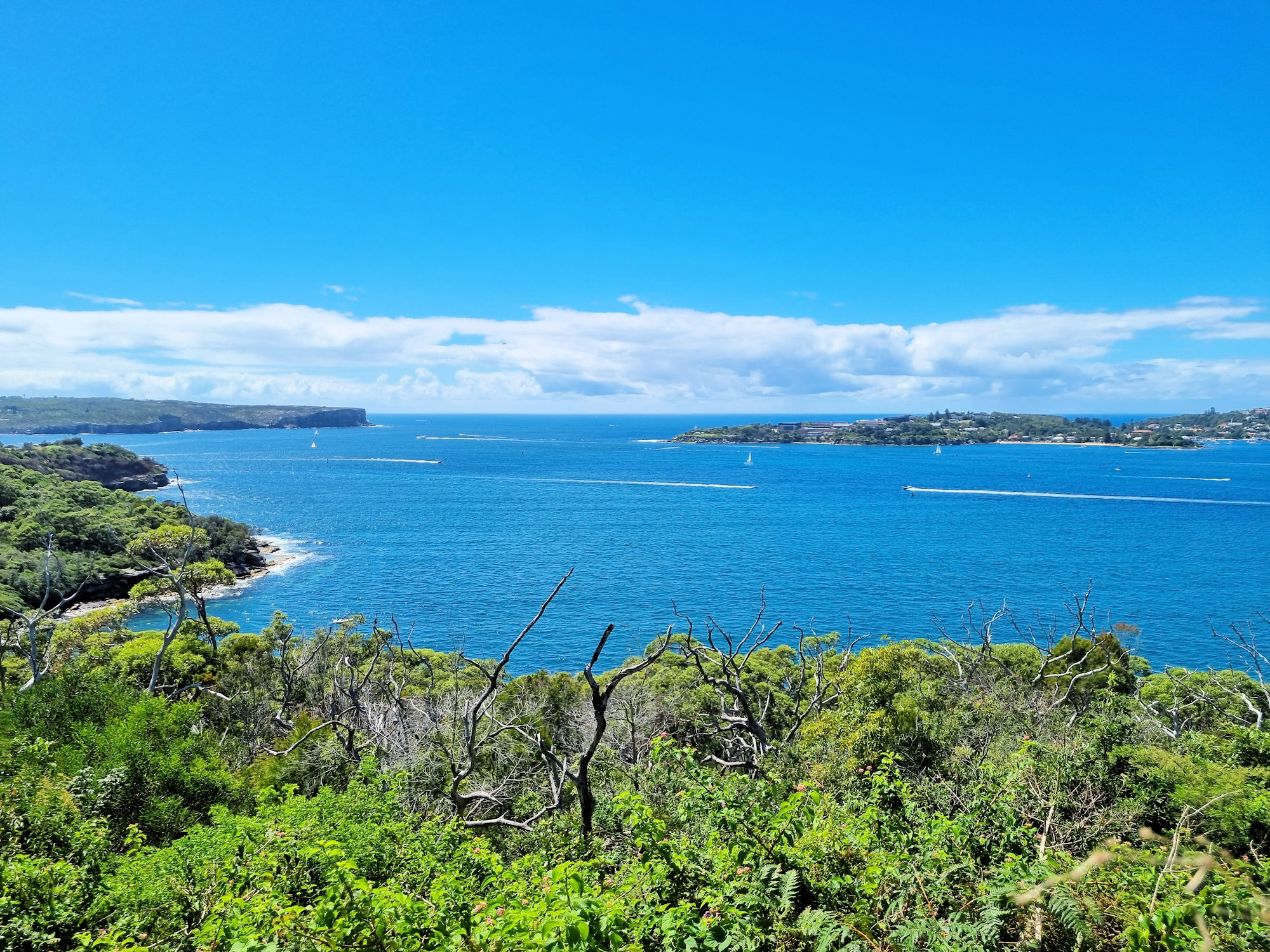
    If the going starts to get tough, there are many places to stop , relax and take in the spectacular views over Sydney Harbour. If you take some snacks and drinks, it’s a great place to stop and refuel.

    View Over Sydney Harbour from the Headland Park Walking Track
    View Over Sydney Harbour

    Georges Head Battery

    The Georges Head Battery is a historic military installation that dates back to the early 1900s. It was built to protect Sydney Harbour from possible attacks during times of war. The battery features a range of structures, including gun emplacements, ammunition stores, and command posts. Visitors can explore the site and learn about its history through interpretive signs and displays.

    There are more great views from here too, with the main CBD area and Circular Quay in Sydney visible.

    Gunners’ Barracks

    Another significant feature of the Headland Park Walking Track is the Gunners’ Barracks, which is a historic building built in the early 1800s. The building served as a barracks for soldiers stationed at Georges Head Battery, and later as a residence for military officers. Today, the Gunners’ Barracks has been restored and transformed into a luxury restaurant and event space, offering visitors a unique dining experience with stunning views of the harbor.

    From Georges’ Head you can look down onto the restored buildings before continuing along the track.

    Gunners' Barracks Headland Park Walking Track
    Gunners’ Barracks

    6 Inch Gun Battery

    Georges Heights 6 Inch Gun Battery was constructed in the early 1900s and was designed to protect the entrance to Sydney Harbour from naval attack. Steep sections around the gun emplacement are fenced off, but access available about 20m further along the track. This allows you to enter the emplacement and see the gun up close. If you miss the gun and see the sculpture park, you have gone too far. The gun site is almost directly in front of the Sculpture Park.

    6-Inch guns emplacement Headland Park Walking Track
    6-Inch guns emplacement

    Sculpture Park

    The Headland Park Walking Track also features a sculpture park, which is home to a range of contemporary art installations by Australian and international artists. Scattered around a large grassed area, the sculptures are surrounded by buildings that used to house military personnel who manned the local guns.

    Old Military Buildings
    Old Military Buildings

    Chowder Bay

    We ended our walk at Chowder Bay on Sydney Harbour. Several cafés and restaurants with views of the harbour give you a choice of places to eat. We bought take away coffees and drank them overlooking the small beach before tackling the return walk.

    Overall, the Headland Park Walking Track is a great place to visit for anyone interested in history, nature, and art.