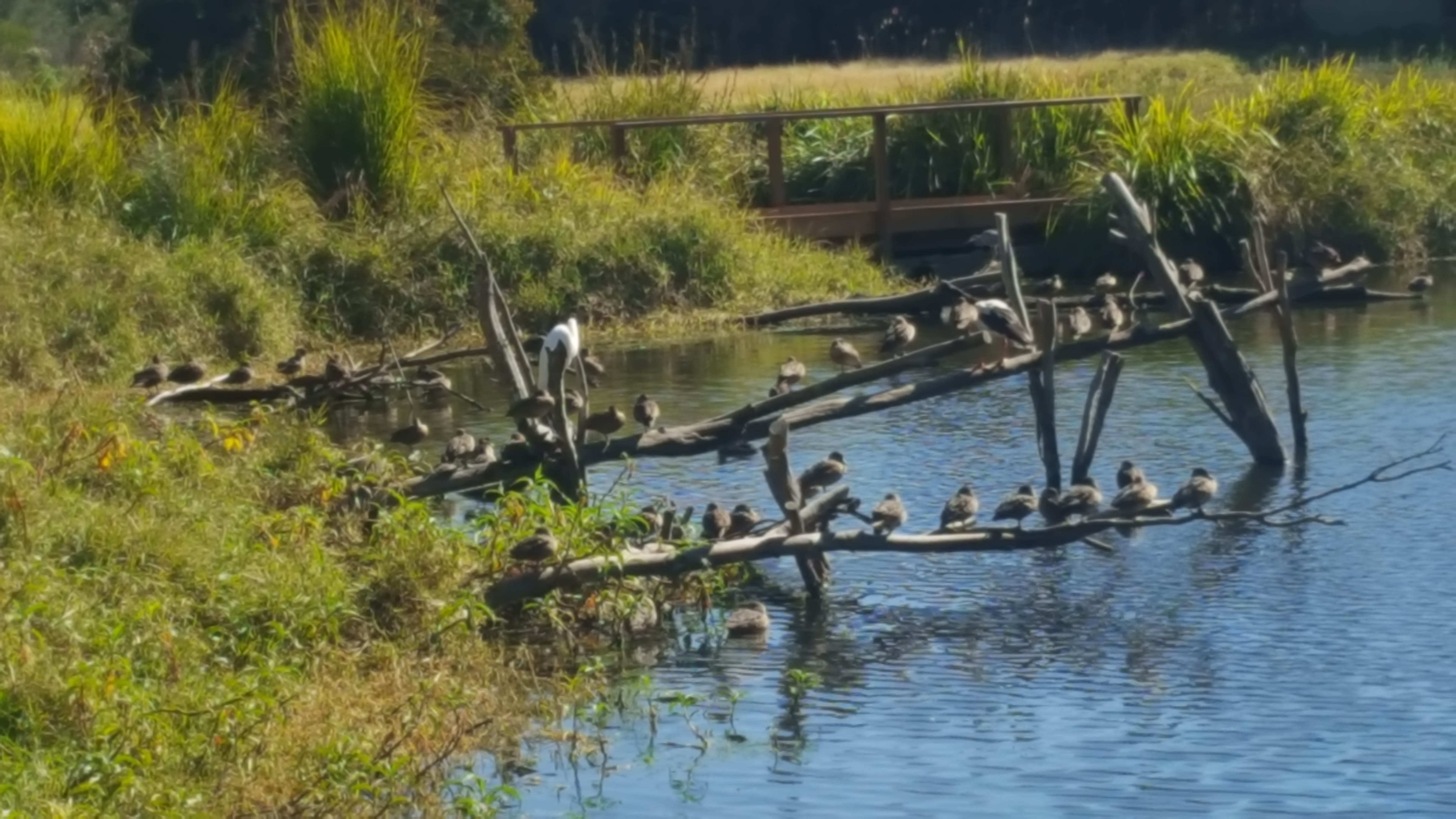
Located in Shortland just outside of Newcastle, the Hunter Wetlands Centre is a community based project returning this once industrial wasteland back to important wetlands. Numerous migratory birds pass through here as well as local birds that use it as a nesting place.
There is ample parking and a café provides snacks for either before
or after your visit.
Several short walks wind around the ponds and stands of trees,
providing different aspects of the area and differing habitats for birds. We
found the tracks very easy to negotiate and well maintained.
After our walk we sat in the café overlooking the central pond and watched the birds as they flocked around the central pond..
For other stories about Newcastle and the Hunter Region, please click on this link.
The Glenrock State Conservation Area contains several great walking tracks. The Yuelarbah Track is a nice walking track which follows Flaggy Creek down to Glenrock Lagoon through the coastal forest. The track is downhill most of the way to the lagoon and Burwood Beach, making is a fairly easy walk. It much harder on the return walk as it is uphill. Parts of the track are rough rocks so it is necessary to be careful with your footing. Part way along the track, the pathway splits enabling you to walk on either side of the creek. Both banks of the creek offer interesting spots, so walk down one side and back the other.
Walking along, you will find some great places to look at the creek and enjoy the scenery. Even the stairs and walkways are great to look at.
Start of Yuelarbah Track
Yuelarbah Track
Flaggy Creek Yuelarbah Track
Yuelarbah Track Steps Going Down
Rock Cutting
Yuelarbah Track Steps Going Up
Yuelarbah Track Steps Going Down
Glenrock State Conservation AreaGlenrock Lagoon
Halfway to the beach, on the left hand bank of Flaggy Creek, is a lookout which provides great views over the Glenrock State Conservation Area.
Glenrock Lagoon From Lookout
As you near the beach you will pass Glenrock Lagoon which looks tranquil compared to the ocean nearby. There is also a bench seat where you can sit and admire the views before walking down to the beach.
Glenrock Lagoon and Burwood Beach
Burwood Beach
Burwood Beach has been quiet both times we were there making it very peaceful and relaxing. As this is not a patrolled beach, so swimming is not recommended.
Burwood Beach
Burwood Beach
Returning to the carpark is either back the way you came or on the opposite bank of Flaggy Creek. We chose the second option for some variety as the scenery is slightly different.
This is a pleasant walk with a nice little beach at the end to relax on.
Hickson Street Lookout to Burwood Beach Trail
This trail descends from Hickson Street down a hill side to Burwood Beach. The majority of the track is made of mesh metal walkways and with formed steps. However there are small areas where the path is unformed and goes over rocks. These areas are small and easily negotiable but the track is steep, so take care.
Parking is available on Hickson Street, but is limited and may become crowded at peak times. A launch platform for hang gliders is located at the top of the hill, where you will find view over the coastline.
Walking Trail Hickson Street Lookout
Walking Trail Down to Burwood Beach
The Trail Down to Burwood Beach
Walking Trail Down to Burwood Beach
Walking Trail Winding Down to the Beach
Burwood Beach
The track finishes at Burwood Beach, where you will find an information board detailing the area. The northern part of the beach is a rock platform, which has rock pools and some interesting weathering features in the rocks.
Burwood Beach
Rock Platform at Burwood Beach
Burwood Beach
Burwood Beach
Rock Platform
Walking south from the beach, you will find Glenrock Lagoon, where you can walk up Flaggy Creek on the Yuelarbah Track. If you walk north you will get to the Merewether Baths and beach.
We chose to sit on the beach for a while watching the surfers, before taking the track back up the hill.
Rock Platform
Eroded Rock Formation Burwood Rock Platform
Rock Formation Burwood Rock Platform
To find out about some other great places to go in NSW, please read some o our other stories.
Lake Macquarie State Conservation Area is a hidden gem on the shores of Lake Macquarie. Several tracks wind through this coastal rain forest and form a loop so that you can see both the ridgeline and lake shore. It is graded at level three making it a fairly easy walk. The tracks are easy to follow and generally well made with any creek crossings made with steel and wooden bridges.
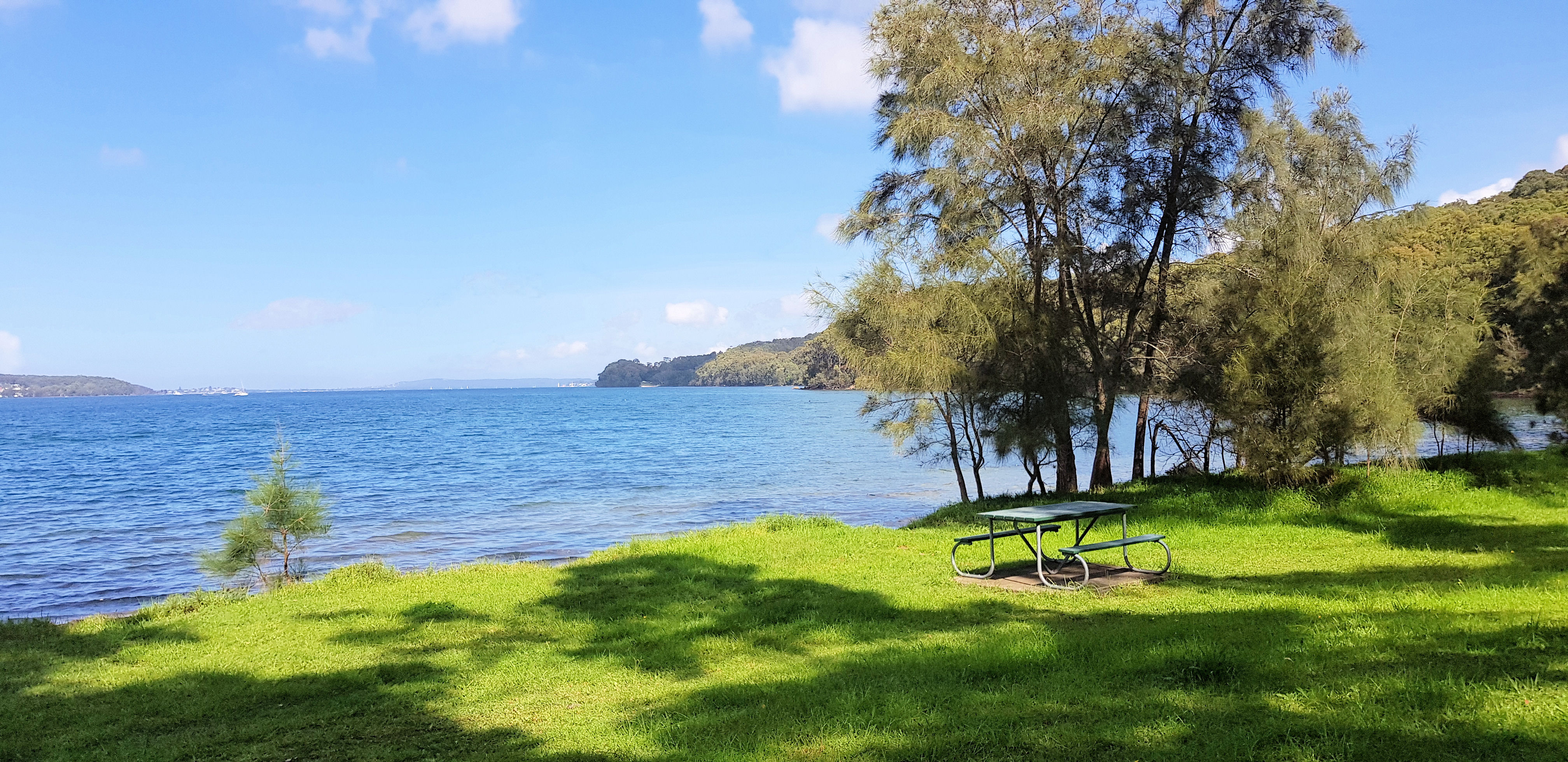
The vegetation is generally eucalyptus with ferns with she oaks on the lake shore. Our walk was in autumn and there were a number of mushrooms in the leaf litter and at the base of the trees, which we found to be a good photo opportunity. At the northern end is a nice picnic area allowing you to have a relaxing stop with a view over the lake before or after the walk.
Walking TrailWhite Mushroom in Leaf LitterOrange Mushroom in Leaf LitterOld Foundation on the ShorelineLake Macquarie Shore LinePicnic Area Lake Macquarie