AdBlock Detected

It looks like you're using an ad-blocker!

Our team work realy hard to produce quality content on this website and we noticed you have ad-blocking enabled.

Newnes Industrial Ruins and Bushwalking
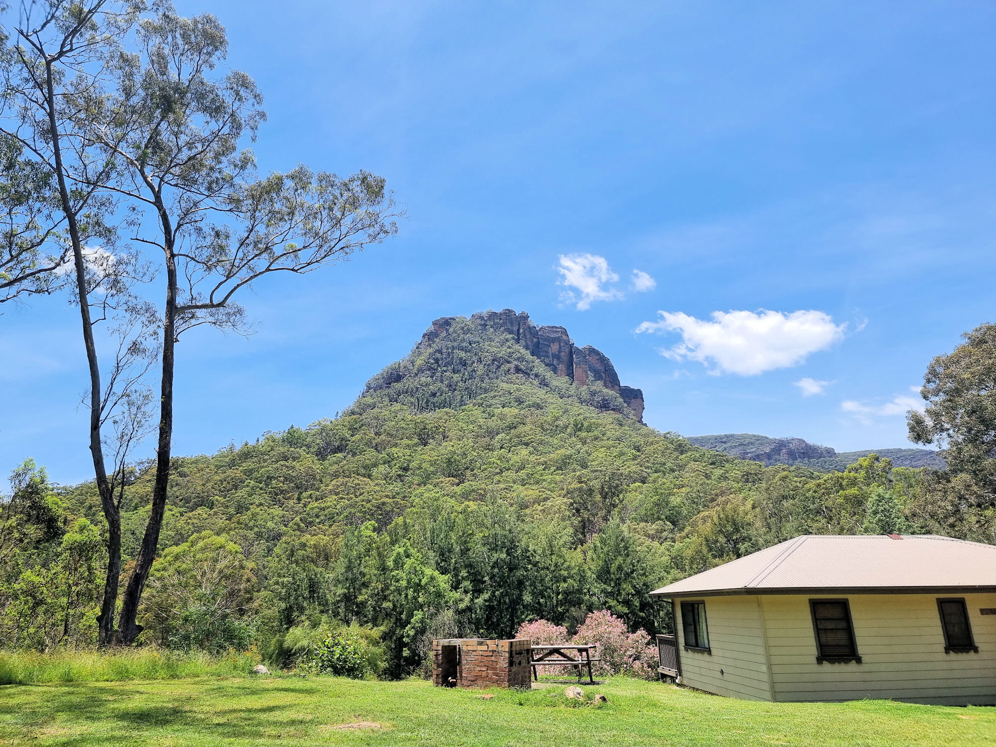
View from our cabin balcony Newness Industrial Ruins Map

Newnes Industrial Ruins

Located in the Wollemi National Park the Newnes Industrial Ruins is a heritage listed collection of decaying ruins of a once thriving shale oil processing plant. Established in 1902 and closed in 1932 due to the availability of cheaper crude oil, all that remain are decaying buildings and processing plant. The area is great for bushwalking with great tracks to the ruins and the surrounding area.

Getting There

The drive from Lithgow to the ruins takes a little over an hour, or three hours from Sydney. Road quality varies from excellent sealed road, narrow winding road down to the Wolgan Valley and dirt road for the final 12km. The views from the road as you descend from the top are amazing but, unfortunately there are few spots to stop and take advantage of them.

Where To stay

Accommodation is available through the Newnes Hotel which has five self contained cabins. The hotel itself does not offer rooms and no longer operates as a hotel. You will need to brings your own food and drinks.

Camping is available at two spots on either side of Wolgan River, but you will need a four-wheel drive to cross to the far side. Booking for campsites is through New South Wales Parks and Wildlife.

We chose to stay in one of the cabins which proved to be very comfortable, with a comfortable bed and nice shower. You do need to bring your own bedding including sheets, blankets and pillows. You will also need to bring all food and drinks as there isn’t a kiosk on site.

Newnes Hotel

On arrival, we went to the Newnes Hotel to collect our keys. the owner also gave us a booklet with information on the area and a list of the walks available. From here we went to our cabin and unpacked before exploring.

Scattered around the Hotel area are some relicts of the past. Some old rail cars line the road to the river crossing and some old buildings are near the river bank. Across the road from the Hotel is a great view of the Wolgan River. With the recent rain it was flowing well.

Newnes Industrial Ruins Walk

Deciding to walk to the ruins first, we headed to the river crossing. As we were walking, we waded across, as the stepping stones were under water and did not look safe. If driving, you will need a four-wheel-drive to cross the river. Otherwise, leave your car at the crossing and walk across.

From the river to the start of the track takes around 30 minutes. It is flat and well graded, so an easy walk.

A locked gate is at the start of the walk along with a detailed map of the industrial ruins. The first ruins are the most interesting, a row of brick bee hive kilns. There are still 13 kilns in good condition with the other 80 odd kilns in various states of decay.

Also in the area are the remains of retaining walls and ruined buildings. It takes about two hours to walk around and take in the atmosphere of the place.

Philosophers Walk

This walk starts at the far side of the camp ground, where it crosses Little Wolgan Creek. As we were staying in the cabin, we walked the short distance to the creek early in the morning. Crossing the creek was easy, but after rain, and with a higher water level, it might be difficult without getting wet.

Heading uphill, the first section of the track is steep and rocky in places, but with amazing views of the surrounding mountains. Little piles of stones mark the way, and the track had recently been cleared, so it was easy to follow. Along the way we passed small rock overhangs and tiny caves, but didn’t see anything inside.

At the top of the hill you are rewarded with views over the forest, river and out to Mystery Mountain. After recovering from the uphill walk, we set off for the return leg, which was all downhill.

The Return Leg

Walking past the ruins of the manager’s house all we saw were old brick stairs, but not far away were two old Zephyr cars. A manager left them here and after several bushfires and forest regrowth they are rusty wrecks surrounded by trees.

This was a great walk with views through trees to the mountains, old ruins and rusty cars. With more time we would have added the Hidden Valley walk, but will do that on our next visit.

School Ruins Walk

Starting behind the cabins, this short walk takes you through trees and across a small creek to what is left of the old school. Time, weather, and bushfires have left only brick chimneys and scattered bricks to show where the school once stood. It was hard to imagine that a small town once stood here that required a school, when there is so little of it left.

What Did We Think?

We loved it here and could have stayed longer, because there are so many more walks to do. We would have liked to the walk to Hidden Valley and the Glow Worm Tunnels, but just didn’t have the time. With the old industrial ruins, great bush walking and amazing accommodation, this was a great visit.

To see what else there is to do in New South Wales, please see some of our other stories.

Our photos are available for purchase on

Tasman Peninsula Tasmania Australia

Remains of the Low Courts

Tasman Peninsula

The Tasman Peninsula has an wonderful array of historical and natural locations explore. Containing some of Australia’s oldest convict sites, it tells the story of early colonial life while being surrounded by amazing natural beauty.

During our stay here, we visited the sites below. This is by no means all there is to see and do, as there are many more bush tracks to walk, and places to visit. We spent three days here, but could easily have taken a whole week.

Port Arthur Historic Site

Tasmania’s best known historical site, Port Arthur was once a penal settlement for convicts. For the Full blog of our trip here, click this link.

Inside The Penitentiary

Geological Sites of the Tasman Peninsula

Tasmania is full of natural beauty. The wind, rain and sea have combined in places to produce wonderful geological features. For the Full blog of our trip here, click this link.

Tasman Arch

Tasman Arch
Tasman Arch

The Blow Hole

The Blowhole
The Blowhole

Remarkable Cave

Tessellated Pavement

Tessellated Pavement Eaglehawk Neck

The Dog Line

To prevent escaped convicts leaving the Tasman Peninsula, a dogs were placed at the narrowest point. These vicious dogs are commemorated with a full sized bronze sculpture. Tasmania is full of natural beauty. The wind, rain and sea have combined in places to produce wonderful geological features. For the Full blog of our trip here, click this link.

Bronze Sculpture at the Dog Line

Coal Mine Historic Site

Although not as popular as Port Arthur, the Coal Mine Historic Site is also an important relic of the convict past. The first coal mine in Tasmania and a place of punishment for repeat offending convicts, its ruins are worth a visit. Unlike Port Arthur, entry here is free. For the Full blog of our trip here, click this link.

Ruins at the Main Settlement Tasman Peninsula
Ruins at the Main Settlement

Cape Raoul Track

Bushwalking and hiking tracks range from under an hour to several days. We chose a five hour return walk to Cape Raoul because it provided temperate rainforest, coastal views and wildlife in the one walk. For the Full blog of our trip here, click this link.

Dolerite at Cape Raoul Tasman Peninsula
Dolerite at Cape Raoul

To read other posts about Tasmania, click here.

Our photos are available for purchase on

Coal Mines Historical Site Tasmania

Ruins at the Main Settlement

Coal Mines Historical Site

The location of Tasmania’s first operational mine, the Coal Mines Historical Site, is now part of a World Heritage listed site where the ruins form a reminder of the past. Interpretive signs throughout the site not only describe the buildings use, but provide an insight into life there, by describing the lives of individual convicts.

With the discovery of coal in the area in 1833 mining commenced, producing coal locally, rather than import it from New South Wales. Serving as a place of punishment for repeat offending convicts from Port Arthur, the mine operated for 40 years before closing.

The Site

Two entrances to the site allow access to either the main settlement, or the old mine shaft. Walking tracks connect the two areas, so it doesn’t matter which you go to if you intend walking. Entry to the site is free. We chose the main settlement to start at, because it has excellent introductory signs and toilet facilities. The larger ruins are also located here, so if you only want to see them and not the entire site, this is the place to start.

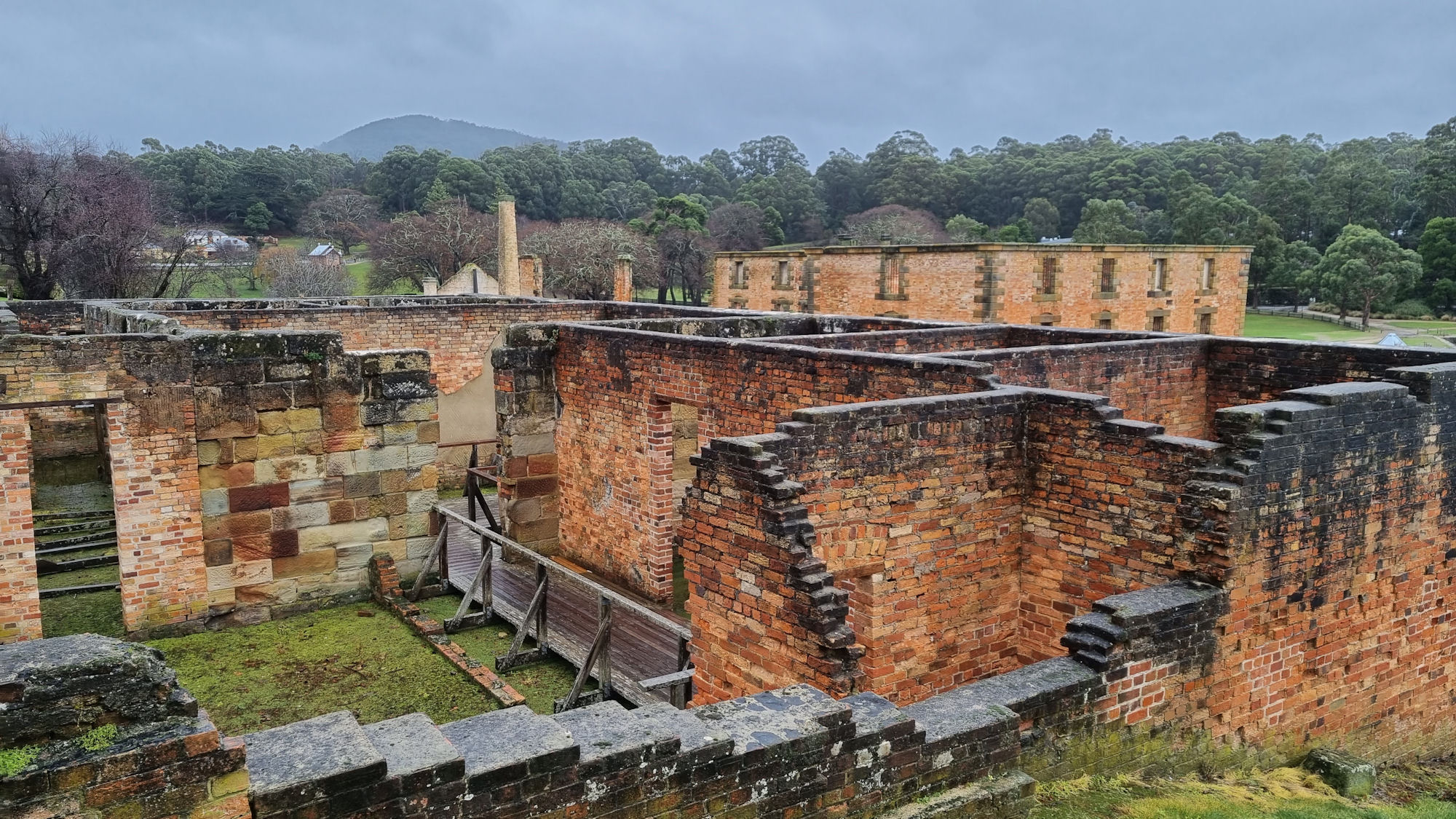
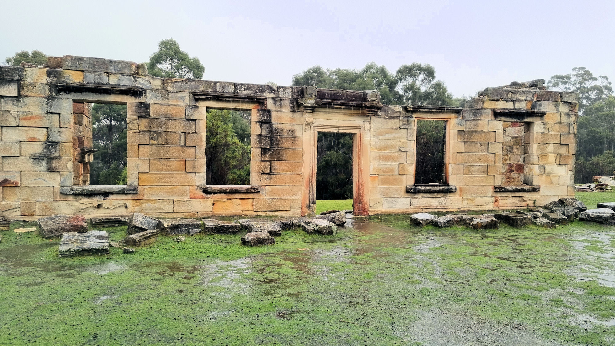
As you can see from the photos, the majority of the buildings have been damaged by bushfires, the weather and vandals over the last 150 years. The remaining walls are still interesting to see, as they stand on a small rise overlooking bushland.

Walking from the main settlement, we passed the military barracks and commanding officer’s quarters. From here, the track steepens as you walk uphill to the signal station, where we could not see any remains.

Our last stop was the main shaft, which was surrounded by a fence. This was a large depression maybe 10m deep and 20m across, but the shaft itself it filled in, so there was nothing to see.

What Did We Think?

The sandstone ruins are imposing, standing as they do on a small hill. We enjoyed looking around and reading the interpretive sign, while taking photos. The walking track winds through bushland, which was enjoyable to walk through. Although the main shaft was a disappointment, the rest of the area was very good and worth seeing.

To read other posts about Tasmania, click here.

Our photos are available for purchase on