We drove to Cape Banks and parked near the pistol club and helicopter base. This large car park has plenty of space, so parking shouldn’t be a problem.
Cape Banks Walking Track
The Cape Banks Walking track runs past the Westpac Lifesaver Helicopter Base towards the coast. On the way you pass an old fortress before reaching the ocean. At this point you turn right, if you turn left, you will arrive back at the car park.
The track continues along the coast to the New South Wales Golf Club, where a small bridge leads out to the cape. From here you are able to explore the rock platform and the higher ground of the cape.
Cape Banks Fortifications
Used to protect the approaches to Botany Bay, Fort Banks is an old World War II bunker and fortification complex. During World War Two, it was armed with two 9.2 inch guns, but these are long gone. Sand dunes and vegetation are overtaking the fortifications. Graffiti also covers most of the site, which detracts from the importance of the site.
Despite this, it is still an interesting spot to walk around, with some of the building accessible through rusty doors.
Several old tombstones are stored here, removed from the nearby Hospital Cemetery.
Fort Banks
Fort Banks
Roof of Fort Banks
Fort Banks
Rusty Steel Doors at Fort Banks
Old Headstones at Fort Banks
Rock Platform
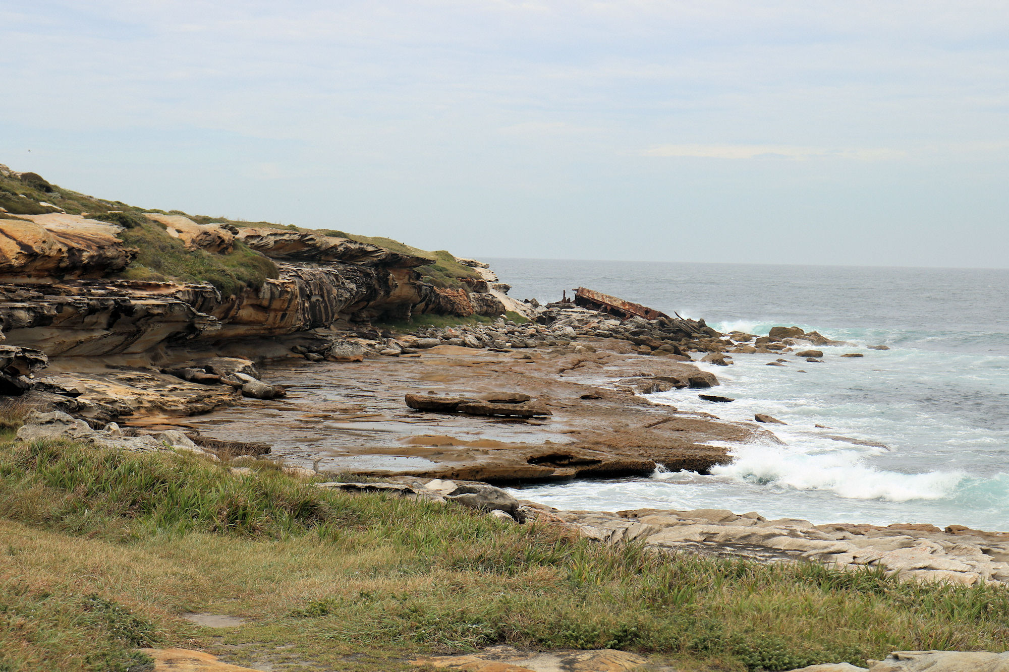
Exposed at low tide, the rock platform provides great views over the ocean. Be careful because you need to climb over rocks to get there. Check the tides before going, to make sure the tide will be low. Rock pools and slippery surfaces on the platform mean you need to walk carefully to avoid slipping.
The small cliff face displays some great erosion patterns from wind and waves. The colours of the rocks are also interesting.
To visit the shipwreck at the end of the cape, make your way to the rocks, where the SS Minmi can be seen up close.
Rock Platform and the Wreck of the SS Minmi
Waves Breaking Over the Rock Platform
Eroded Cliff on Cape Banks
Undercut Cliff
Eroded Cliff on Cape Banks
Looking Along the Cape From the SS Minmi
Overhanging Eroded Rock on the Cliff Face
Wreck of the SS Minmi
Located at the far end of the rock platform, the remains of the wreck of the SS Minmi are easily accessible at low tide. Salvage work in the 1930s removed the forward part of the ship, so only the rear portion now remaining.
The SS Minmi was a 75m long, 1,455 ton collier built in Glasgow, Scotland in 1927. It was named after either the lower Hunter Valley town of Minmi, or the nearby Minmi Colliery.
The Minmi’s captain for all of her ten-year service was Captain McPhall, who had brought the ship to Australia. Captain McPhall commenced two weeks’ leave in the first week of May, leaving Chief Officer Callum to take over as Captain. On 8 May 1937 at 10 pm while returning to Newcastle after delivering coal to Melbourne, the ship struck the outside of Cape Banks. Frederick Boulton, the ship’s cook, collapsed and died of a heart attack soon after the ship struck the rocks.
The Minmi split in two at about 12:45 am, with crew members stranded on both the front and back sections. Those at the front were rescued without incident, but it was more perilous for those in the rear. During the rescue, one life was lost because of the heavy seas.
SS Minmi on the Rock Platform
Wreck of the SS Minmi on the Rocks
SS Minmi Wreckage Strewn Over the Rocks
What Did We Think?
This was a great little walk, because we saw an old fort, a shipwreck, and enjoyed some nice views. The walk is short, but does require some climbing over rocks and a visit at low tide is a must.
Located a three-hour drive south of Sydney, Jervis Bay is one of Australia’s most popular holiday destinations. The abundance of white sandy beaches, bush and accommodation makes it a great place to enjoy a relaxing break. With two national parks, there’s plenty of places for nature lovers to explore.
Beecroft Peninsula
Forming the northern headland of Jervis Bay, the Beecroft Peninsula has some excellent beaches, walking tracks, rock pools, spectacular views, a lighthouse and a shipwreck. This should be more than enough to keep you occupied for a few days.
Part of the peninsula is owned by the Department of Defense, so you will need to go through a checkpoint. This is a simple process, and the guard will take a note of your car registration, number of people and a mobile phone contact. In return, you will get some brochures on the area and safety advice. If the Department of Defence has operatins in progress, this area will be closed. To avoid disappointment, and refused entry, check beforehand by calling 0244483248.
The beaches here are unpatrolled, so be careful when entering the water. Supervise children to ensure their safety.
Currarong
Currarong is a great base to use to explore the area as it has several excellent caravan parks where you can stay. If you are just passing through to explore the peninsula it’s a good place to stop for a meal or purchase snacks. Everything is so easy to find and reasonably priced.
Abrahams Bosom Reserve
We parked at Abrahams Bosom Reserve as it was close to the walking tricks we wanted to take as well as the nearby beaches. Our first walk was to the rock pools nearby and then we looked at the creek flows past the reserve to the ocean. From here we walked to MS Merimbula shipwreck and then on to Gosang’s Tunnel. when walking to the shipwreck, it is good to wear sensible shoes e.g. crocks, or old sneakers, the rocks are sharp!, also check for tides. there are also bits of metal sticking up around in and about what is left of the wrecks!
Abrahams Bosom Creek
Currarong Rock Pools
Located between Currarong and Abraham’s Bosom Reserve these interesting rock pools are great to see and easy to get to. When exposed at low tide the pools have waves breaking around them are fun to watch. A close-up look will allow you to see shellfish that inhabit the pools. Sometimes fish become trapped, along with the odd crab, so have a look to see what you can find.
Currarong Rock Pools
SS Merimbula Wreck
Although not much of the SS Merimbula Wreck is visible what’s there makes an interesting visit. At low tide you can walk out onto Whale Point where you can get very close to the remaining wreckage.
The SS Merimbula, a large twin screw steamship ran its bows onto Whale Point on the night of 27 March, 1928, later breaking up on the steeply shelving reef. The rear portion of the vessel fell into deep water, so that only the remains of the bow can be seen at low tide.
To get there, park at Abraham’s Bosom Reserve and then take the marked trails until you reach the beach from here it’s a simple walk over the rocks to the scattered remains of the wreck.
Wreck of the SS Merimbula
Gosangs Tunnel
The excellent signage erected by Parks and Wildlife make Gosangs Tunnel easy to find. Ranges keep the walkways in the area clear of vegetation and overhanging branches making the walk very easy. The walk was very easy, along sandy tracks, where there was a great opportunity to see the local coastal vegetation.
Because we left very early, there was no-one else at the tunnel. The tunnel is small which means you need to be on your hands and knees and be very careful not to hit your head on the roof. If there was a crowd of people here it would be very uncomfortable getting in and out because you would get in each other’s way.
On reaching the other side of the tunnel you exit onto a small rock platform which gives you great views of the surrounding ocean and coastline. On a stormy day like the one we visited on your able to see the waves crashing against the rocks. Be very careful as the unprotected cliff edge has big drop to the ocean below.
Young children should not take this walk due to the height of the unprotected cliffs.
Gosangs Tunnel Track
Typical Signpost on the Track
Gosangs Tunnel Entrance
Inside Gosangs Tunnel
View From the Gosangs Tunnel Exit
The View From the Rock Platform at the Tunnel Exit
Point Perpendicular Lighthouse
Accessed via a military security checkpoint because of the live weapons range in the area, Point Perpendicular Lighthouse is a 15-minute drive from Currarong. During the drive to the lighthouse, numerous signs warn not to enter the military zones, but as long as you stay on the road, you’re in no danger.
The security guard will take a note of your car registration, the number of people and a mobile phone contact for emergencies.
The lighthouse is a beautiful heritage listed building, set high above the cliffs. Beautifully preserved and painted it makes an excellent scene for photographs because of its location.
A fence protects falls from the 75m high cliffs, making the views along the coastline safe to enjoy.
Cape Perpendicular Lighthouse
Honeymoon Bay
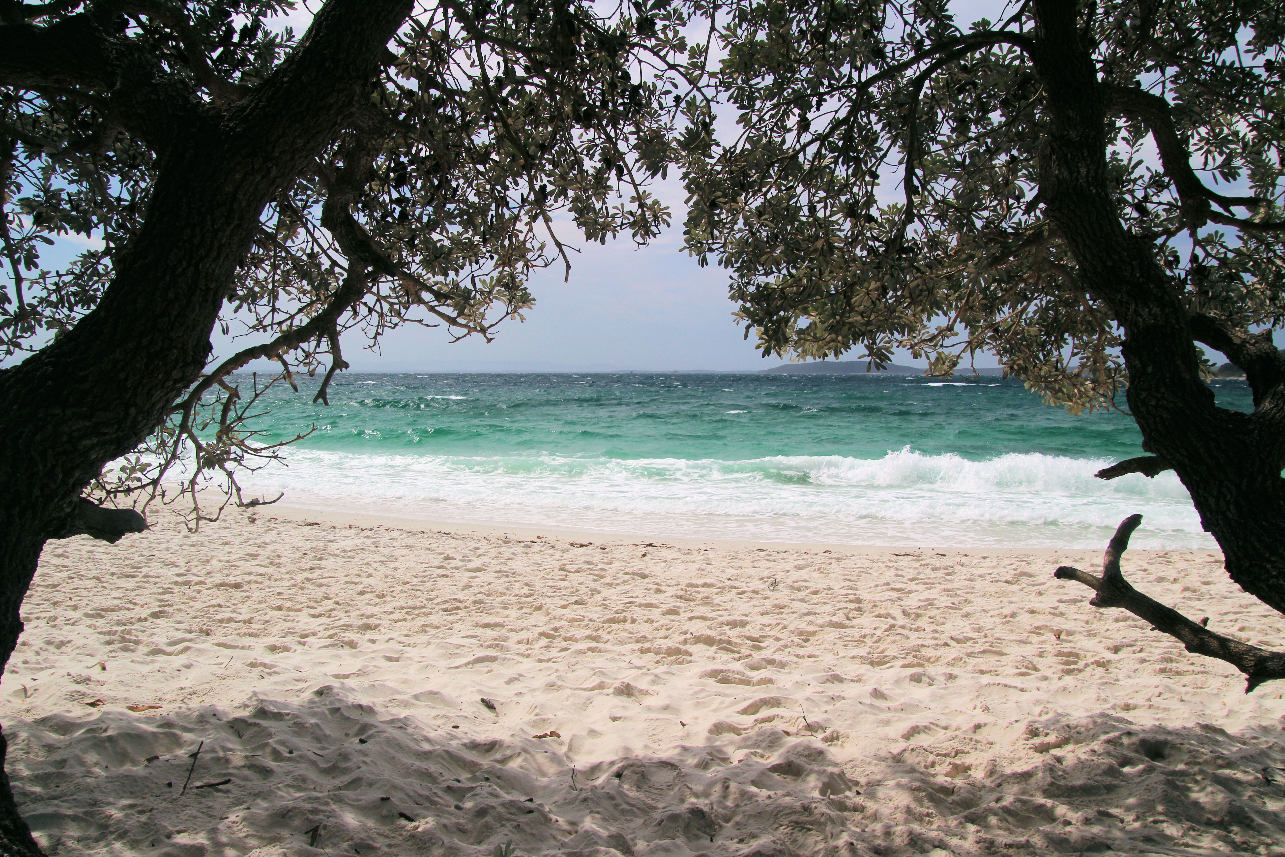
Located on the west coast of Beecroft Peninsula, Honeymoon Bay is a beautiful area for camping or a day trip because of excluded and tranquil surroundings. The bay has trees growing down to the sand, providing shade from the sun. The bay is a great place to swim, but is not patrolled, so take care swimming. it was very popular when we visited, but you can still grab your own little spot to sit and enjoy yourself with such a great spot.
Although permitted, camping is restricted due to the limited space available, so it is important that you book ahead.
Honeymoon Bay
Honeymoon Bay Beecroft
Huskisson
Where to Stay
We stayed at the Huskisson Beach Motel, because of its central location and access to the beach. The rooms were clean, and we enjoyed our stay here. Limited parking means that if the motel is full, you may need to park your car on the street outside. which appears safe and easy.
Where to Eat
Owen St was only a few minutes walk from our motel, with a huge variety of places to eat from cafes to pubs and the local RSL. We ate at both the Huskisson Hotel and Club Huskisson (an RSL) and enjoyed both. The food was good, the beer was cold and the great views made it more enjoyable.
HMAS Voyager Memorial
The local war memorial is also a tribute to HMAS Voyager which was sunk off the coast by HMAS Melbourne during a collision. The memorial is of etched granite and depicts Voyager, lists her the crew and the victims of the collision while explaining what happened. The entire foreshore from the memorial to the Hutchison docks commemorates this tragedy.
HMAS Voyager Memorial Huskisson
Jervis Bay Maritime Museum
The Jervis Bay Maritime Museum features a collection of maritime artefacts and navigational and surveying instruments. The Museum exhibits a range of nautical equipment, models, photographs, paintings, drawings and objects relating to the history and heritage of the Jervis Bay area.
The Museum is home to the historic Lady Denman Ferry, which we thought as the highlight of the museum visit
Sydney Ferry Lady Denman
Designed by Walter Reeks and built by Joseph Dent, Huskisson for Sydney Ferries Limited, the Lady Denman was launched in 1912. The hull was built in Huskisson from local timber, launched then floated to Sydney where machinery was installed and upper works completed. It operated on Sydney Harbour until 1979, when is was donated to Huskisson.
Jervis Bay National Park
Cape St. George Lighthouse
In stark contrast to the Point Perpendicular Lighthouse the Cape St George Lighthouse is in ruins, although this does not detract from its interest. Most of the tower has collapsed into a pile of sandstone blocks, as have most of the outbuildings. The immediate area and the buildings are fenced off, but this has been done in such a way that you can still see inside part of the building.
Several of the buildings associated with the lighthouse are still standing and their sandstone block construction makes them very interesting to see. There is a huge carpark, which was great.
Cape St. George Lighthouse
Sandstone Building next to Cape St. George Lighthouse
Hole in the Wall
Hole in the Wall refers to a rock formation seen from this beach. Part of the rock spur has been eroded, leaving a hole. The beach was empty when we visited, but had a lot of washed up seaweed, so we didn’t stay very long. The surrounding trees provide great shade and are a great place to set up for a day here. The tide was coming in when we visited so did not get right up to it.
The Hole in the Wall
Beach at the Hole in the Wall
Murrays Beach
A very popular area for holiday makers, Murray’s Beach offers fantastic stretches of sand and great water to swim in. Due to its popularity a large car park is not far away. There is also a boat ramp for anyone who wants to get out onto the water. There is also huge toilet/change room facilitities.
The trees from the surrounding national park go right up to the sand which gives you some great places to set up in the shade.
Murray’s Beach
Scottish Rocks
Visit this area at low tide if you are interested in unusual rock formations. Accessed through Bristol Point Camping Ground, Scottish Rocks are one of several interesting geological formations in the area. The erosion of the rocks in here has formed interesting patterns highlighted by the different colours of the rocks. A small beach nearby allows access to the water without climbing over the rocks if you want to go for a swim.
Scottish Rocks Jervis Bay
What Did We Think of Jervis Bay?
We had a great time here and wish we had more time to spend exploring all of the walking tracks and beaches. Whether you like camping, or hotel accommodation, swimming, bushwalking or just relaxing at a beach, there’s something here for everyone. When travelling on some of the roads in these areas there are so many turn offs to something different, you are only limited by your time! We loved it!
To see what else there is to do in New South Wales, please see some of our other stories.