Located in the Kuring-gai Chase National Park, access to the Bobbin Head Mangrove Boardwalk will cost $12.00 per car for a day. This will cover you for any other parts of the National Park you visit on that day too. The fee allows you to use the picnic areas and walking tracks in the area, which are well maintained by NSW Parks and Wildlife. Payment can be made at the entry gate as you drive in.
Our first stop was Empire Marina, where the still morning are provided amazing reflections on the water of the boats and surrounding forest. After this we drove to the southern end of the Bobbin Head picnic area, where the boardwalk starts.
The Boardwalk
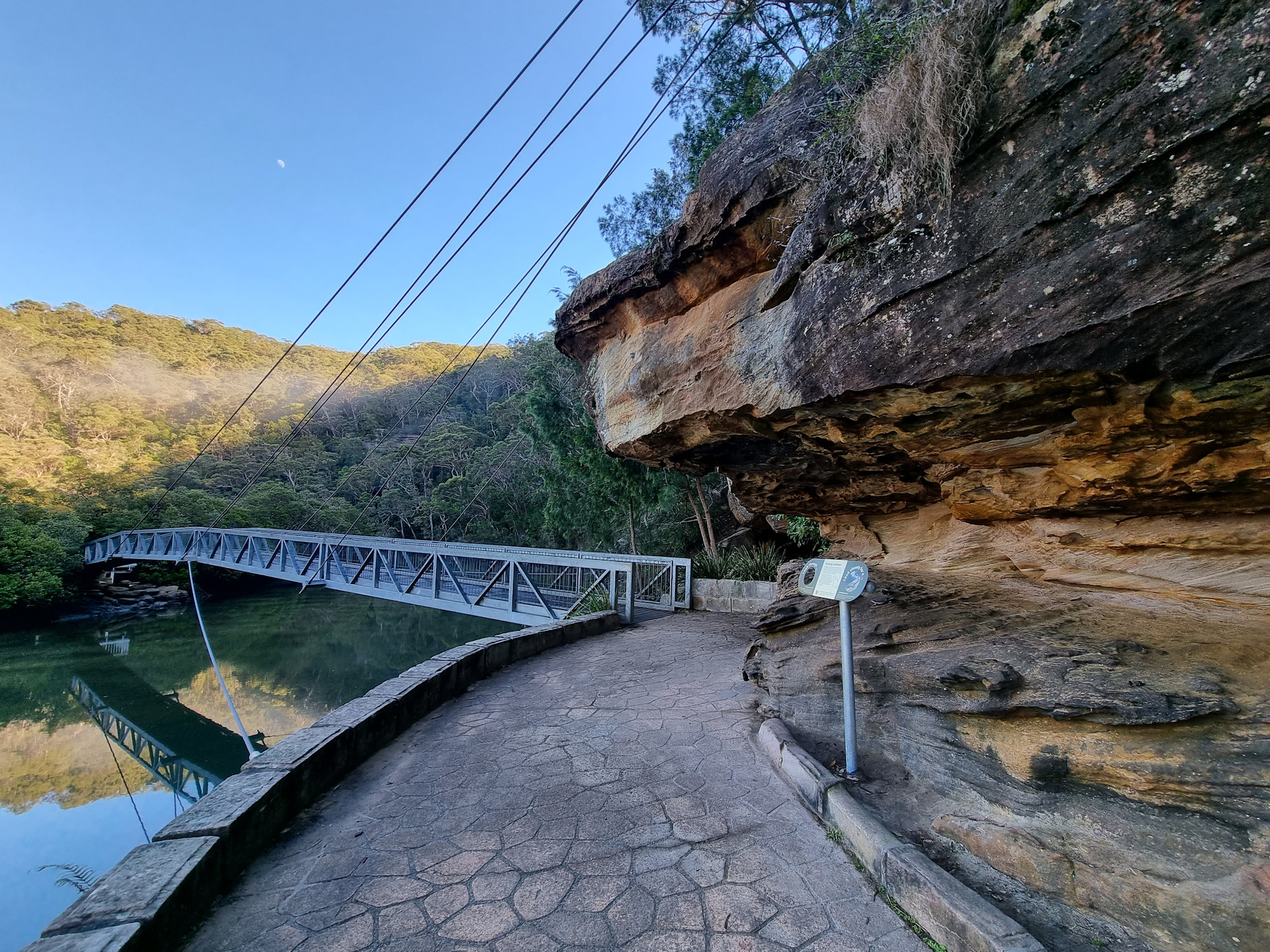
The boardwalk meanders through the mangroves and there are information signs to help you learn more about the environment and plenty of opportunities to see the mangroves and crabs up close. Because it was low tide when we went, we didn’t see any crabs, only the openings to their burrows.
The boardwalk is 552 meters long and takes about 15 minutes to complete. Along the way we had more amazing reflections in Cockle Creek as well as views of the mangroves.
The track continues into the forest as Gibberagong Track, which we followed for a short distance to get more views over the creek.
This was a great little walk with amazing views. We were the only ones there during our visit early on a winter morning, but in summer it is very busy.
Suspension bridge through the mangrovesSuspension bridge through the mangrovesMetal sculpture of Cunningham’s SkinkCowan CreekThe boardwalk through the mangrovesEroded sandstoneTrees growing in the sandstone on the river bankBrush TurkeyStone steps at the end of the boardwalkView over Cowan Creek
Located in the Royal National Park, near Sydney the Palona Cave Walk is a short and easy bush walk. It takes you through beautiful temperate rainforest to a large limestone cave and a cascading waterfall.
Getting There
We drove to Royal National Park, arriving just after sunrise, so that we could catch the sunrise. Parking at the intersection of Lady Carrington Drive and Sir Bertram Stevens Drive was easy as only two other cars were there. On our return though, it was full, and many cars were parked along the road. Access to the National Park is charged per vehicle and you can pay at the entrance gate or main office. If you plan to visit several parks during the year, an annual pass is available from NSW National Parks and Wildlife Service.
Entrance near the carpark
The Track
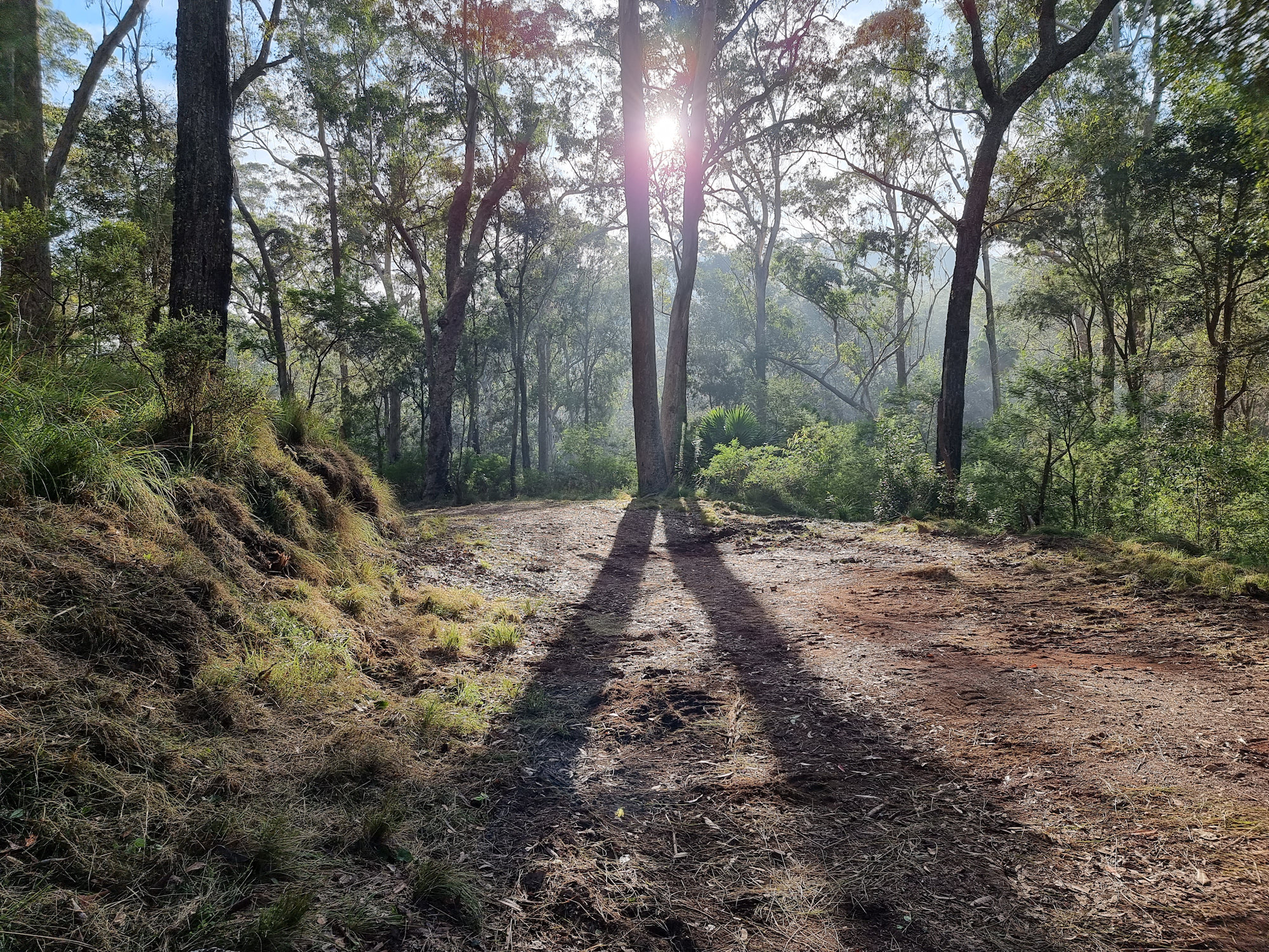
Starting at the car park the historic Lady Carrington Drive trail leads into the forest. This is a wide and well-maintained dirt trail that follows the course of the Hacking River. Originally a road, it was closed and is now a dedicated bike and hiking trail. The trail takes you through temperate rain forest and our early morning start meant that it was quiet and peaceful.
After about 750 m, we reached the junction with the Forest Path, which is another scenic walk in the park. From here we continued along Lady Carrington Drive to Palona Cave track.
Sunrise at the start of the trackToadstools and moss growing in an old tree stumpLady Carrington Drive Trail
Palona Cave
After another 1 km, a sign for Limestone Cave on the left side of the track points off to the right. Unfortunately, a tree now obscures it, so keep a look out as the path to the cave is easy to miss, being very narrow. If you reach the Palona Brook crossing, you have gone too far. From here you leave the main trail and follow a narrow bush track that leads uphill to Palona Cave. The track is rough and rocky in places, so watch your step. When we visited it was also very overgrown and disappeared in several spots.
Palona Cave is a large overhang with stalactites and stalagmites formed by water dripping through the limestone rock. You can explore the cave and see the different shapes and colours of the formations. There is also a small stream that flows next to the cave and forms a waterfall. We were lucky it had rained recently because this creek is often dry.
This was a great walk with the reward of a waterfall and cave at the end. Remember to wear good boots as the second part of the track is rough. At around 5.3km return, it took us around two and a half hours, with plenty of stops for photos and cave exploring.
Sign to the cave track. Hidden behind the tree.A fallen tree on the walkGymea LilyRock overhang on the trackEntrance to the caveCave EntranceThe back wall of Palona CaveWaterfall near the cave
To see what else there is to do in New South Wales, please see some of our other stories.
Balmoral Beach is a picturesque and popular beach located on the north shore of Sydney Harbour, Australia. It’s a great place to swim, relax or just take in the scenery.
Getting There
During busy time like weekends and public holidays, the area can be very busy, so getting there early might be a good idea. Using public transport requires several changes of buses, trams and ferries, depending on where you leave from. Only the 114 and 238 busses stop at the beach, with the 238 connecting to the wharf at Taronga Zoo, enabling you to get the ferry from Circular Quay.
Balmoral Beach
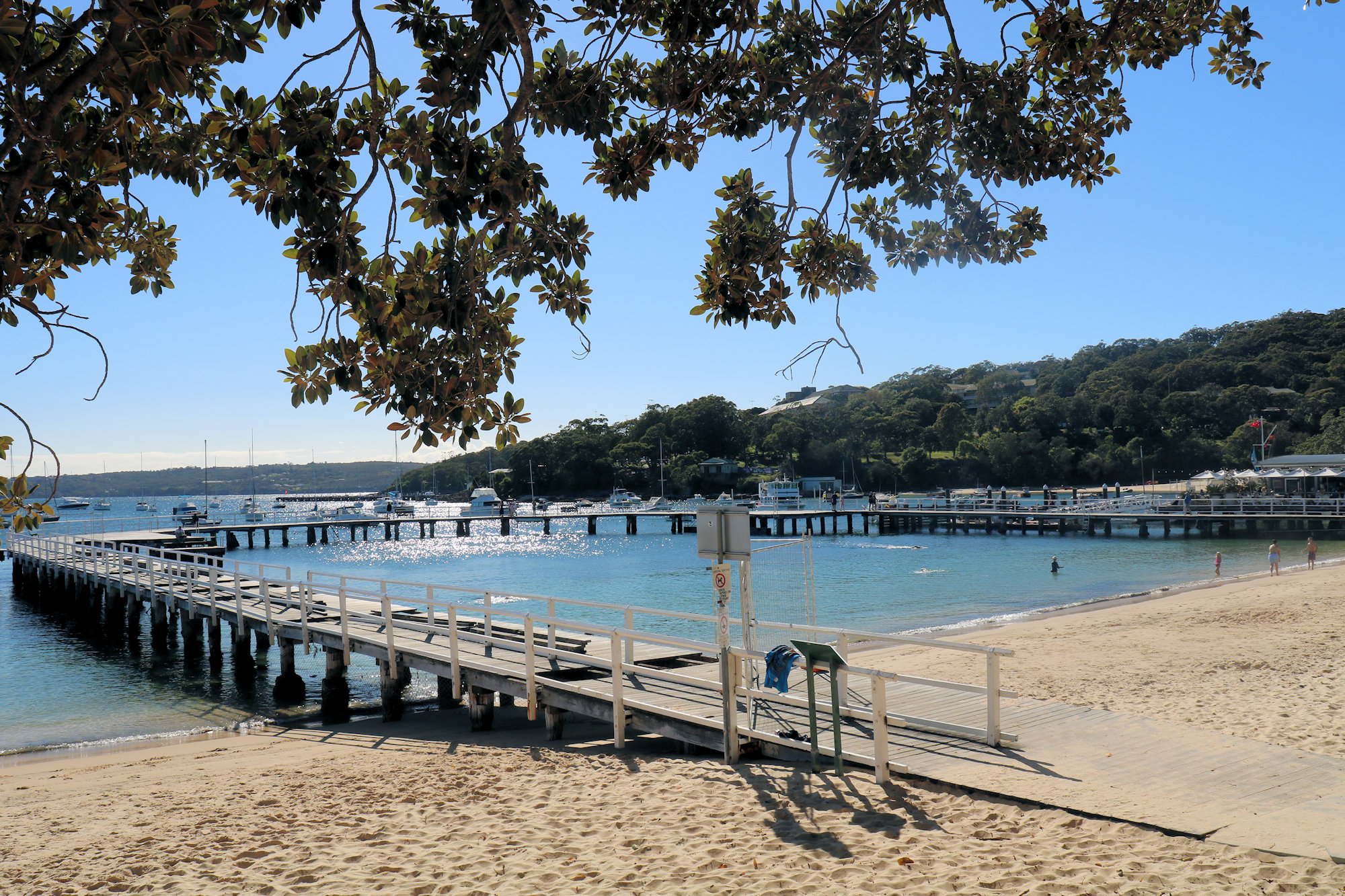
The main attraction, in the area is of course the beautiful beach. The sheltered waters are a great place to relax and swim. Along the foreshore, a variety of eateries offer places for snacks and meals. The old Bathers’ Pavilion is now a restaurant, with views over the beach while you eat. Strictly speaking this area is Edwards Beach, as there is a name change around Rocky Point Island.
Bathers Pavilion.
Rocky Point Island
Located just offshore and at the north end of the beach, Rocky Point Island was one of the reason we visited. Not only does it have great views along the coast and back to the beach, but it is accessed via a unique foot bridge. This bridge allows access to the island during high tide while providing a great backdrop for photos. It’s very popular for wedding photos as well.
Arch bridge to Rocky Point Island.Arched bridge to Rocky Point Island.View to Balmoral Beach from Rocky Point Island.
Balmoral Wharf
Built in the early 1900s, the circular Balmoral Pier is a popular spot for fishing and boating. The water enclosed by the pier is a sheltered and safe spot to swim and we saw a lot of families with small children using it. Visitors can also enjoy a meal or a drink at one of the restaurants or cafes located on the wharf, while taking in the stunning views of the harbour.
The Circular Wharf.
Tramway Cutting
Located in Lawry Plunkett Reserve and opposite Balmoral Beach is an old tramway cutting, built in the early 1900s to provide easy access to the beach for visitors. Unfortunately it was removed, as it would make access to the area far easier. Today, the tramway cutting is a pedestrian walkway that runs along the eastern side of the beach, providing a scenic route for walkers and joggers.
We accessed the park from Botanic Road, but there are entrances from all of the surrounding streets. Following the path through the reserve led us to the old cutting, which is near the Esplanade entrance. Several pieces of old track are still present, but most has been removed. This was an interesting place to see and nice to see that a small part was preserved.
Remains of the old tracks in the tramway cutting.Old control wheel cemented into the rocks.Walking track through Lawry Plunket Reserve.The White Flower by Christopher Hodges.
What Else to do in the Area?
From here we walked part of the Hedland Park Walking Track which has fantastic views over Sydney Harbour. We had a great day here walking along the beach and it’s surroundings, and finished it off with a great walk.
To see what else there is to do in New South Wales, please see some of our other stories.