AdBlock Detected

It looks like you're using an ad-blocker!

Our team work realy hard to produce quality content on this website and we noticed you have ad-blocking enabled.

Aberdeen New South Wales Australia

Lions Club Memorial Aberdeen NSW

Aberdeen New South Wales Australia

Famous for its annual Highland Games festival, Aberdeen, New South Wales Australia (not to be confused with the one in Scotland) is surrounded by some of the richest horse studs in Australia.

Apart from the Highland Games, we hadn’t stopped here before, because we are usually driving through on our way to something else. With a population of under 2,000, we weren’t expecting too much, but were please with the few things we found.

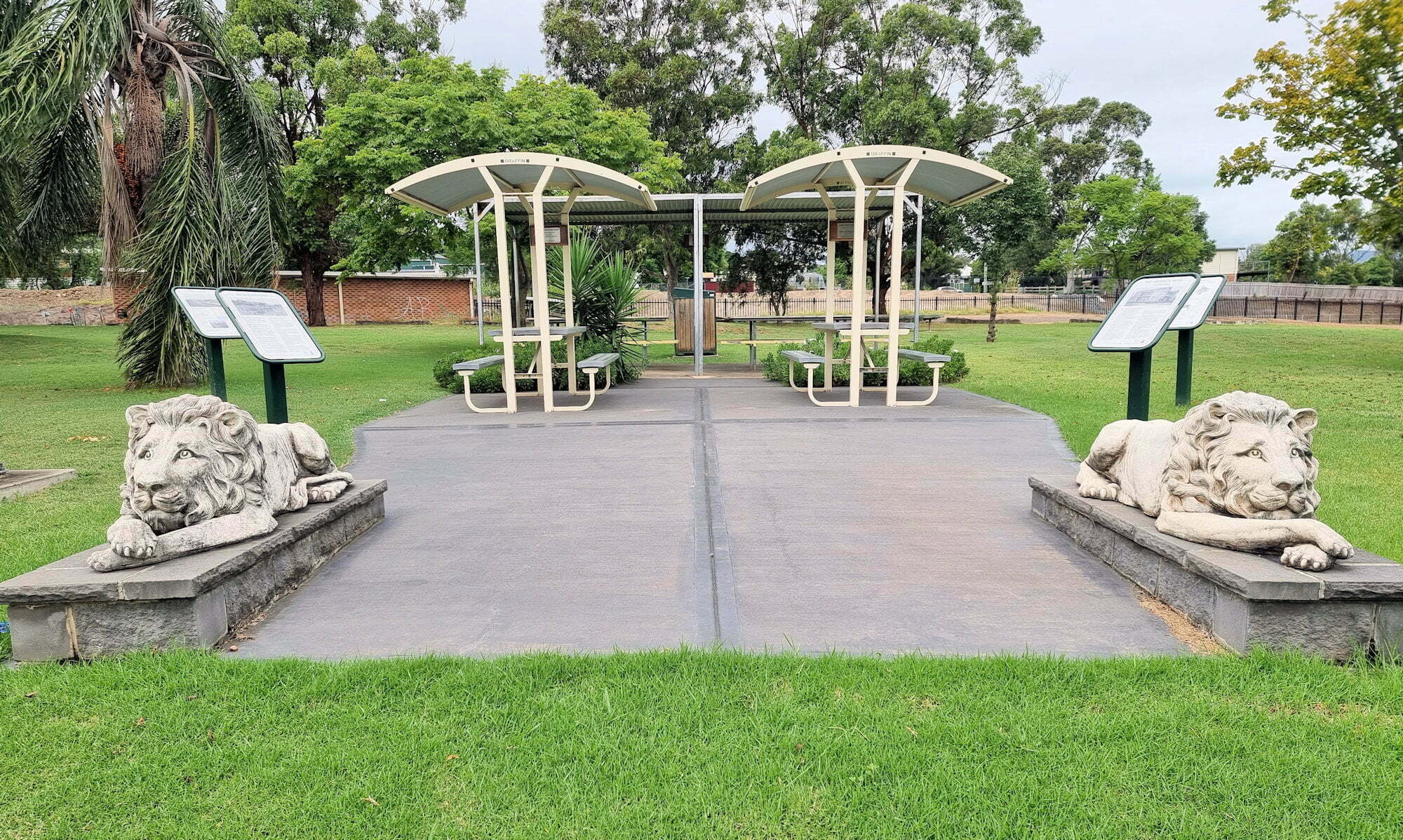
Lion’s Park has some lion sculptures and several plaques detailing the early town of Aberdeen. There are some tables with shade next to the sculptures , which makes this a good place to stop for a break.

In the centre of town, on the New England Highway, Taylor Park has memorials, and a cairn, raised by the Highland Games, dedicated to the sons and daughters of Scotland who made the district their home. Several other nearby towns have Scottish names, most notably Scone which is only 10 minutes away.

The park also has an anchor on display, but there is not plaque detailing where it’s from or what it commemorates.

The local Men’s Shed is colourfully decorated and can be found at the entrance to the local sporting field.

So overall, not a huge amount to see but interesting if you have a few minutes to spare on your drive through.

Our photos are available for purchase on

To see what else there is to do in New South Wales, please see some of our other stories.

Newnes Industrial Ruins and Bushwalking
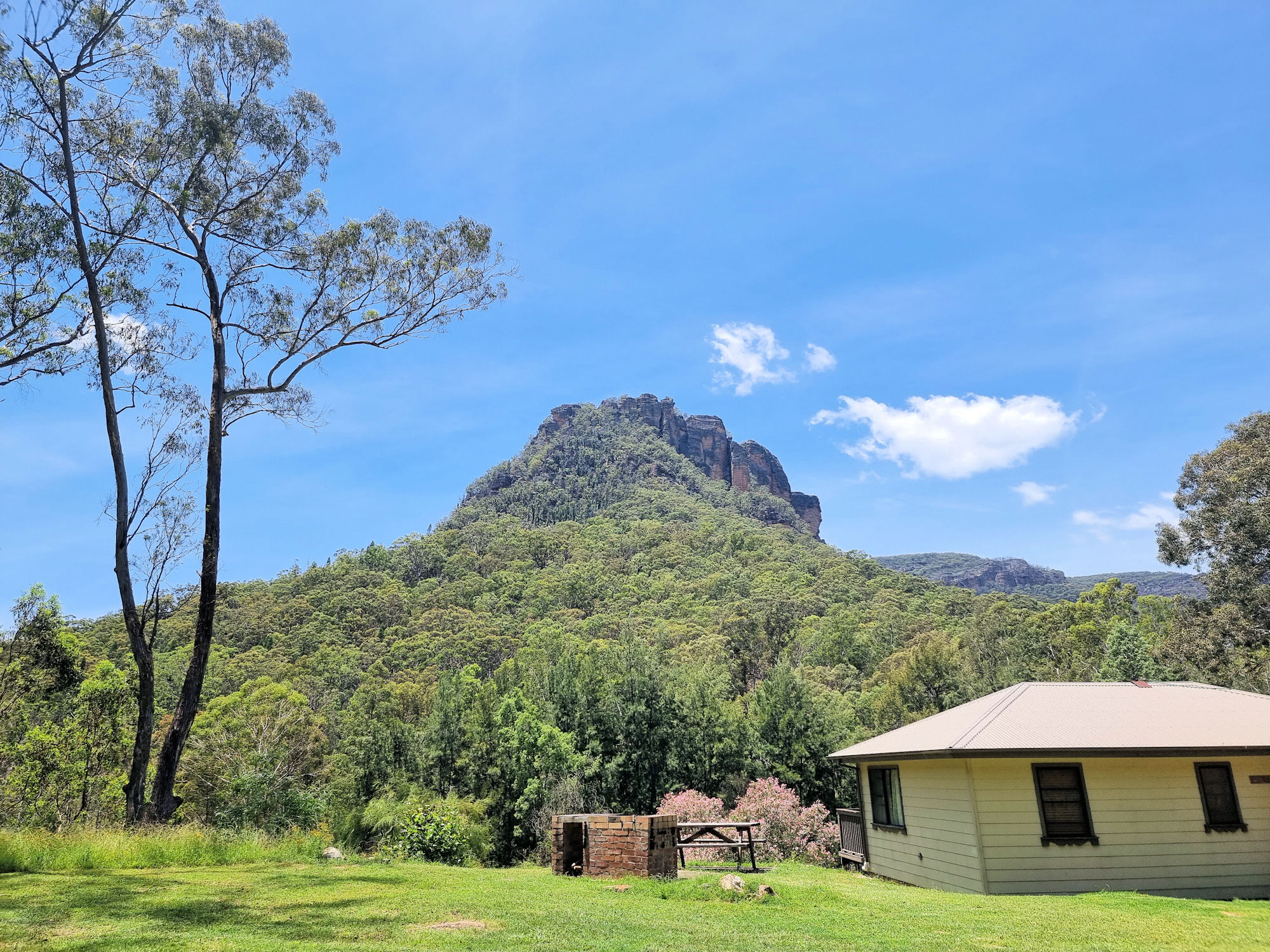
View from our cabin balcony Newness Industrial Ruins Map

Newnes Industrial Ruins

Located in the Wollemi National Park the Newnes Industrial Ruins is a heritage listed collection of decaying ruins of a once thriving shale oil processing plant. Established in 1902 and closed in 1932 due to the availability of cheaper crude oil, all that remain are decaying buildings and processing plant. The area is great for bushwalking with great tracks to the ruins and the surrounding area.

Getting There

The drive from Lithgow to the ruins takes a little over an hour, or three hours from Sydney. Road quality varies from excellent sealed road, narrow winding road down to the Wolgan Valley and dirt road for the final 12km. The views from the road as you descend from the top are amazing but, unfortunately there are few spots to stop and take advantage of them.

Where To stay

Accommodation is available through the Newnes Hotel which has five self contained cabins. The hotel itself does not offer rooms and no longer operates as a hotel. You will need to brings your own food and drinks.

Camping is available at two spots on either side of Wolgan River, but you will need a four-wheel drive to cross to the far side. Booking for campsites is through New South Wales Parks and Wildlife.

We chose to stay in one of the cabins which proved to be very comfortable, with a comfortable bed and nice shower. You do need to bring your own bedding including sheets, blankets and pillows. You will also need to bring all food and drinks as there isn’t a kiosk on site.

Newnes Hotel

On arrival, we went to the Newnes Hotel to collect our keys. the owner also gave us a booklet with information on the area and a list of the walks available. From here we went to our cabin and unpacked before exploring.

Scattered around the Hotel area are some relicts of the past. Some old rail cars line the road to the river crossing and some old buildings are near the river bank. Across the road from the Hotel is a great view of the Wolgan River. With the recent rain it was flowing well.

Newnes Industrial Ruins Walk

Deciding to walk to the ruins first, we headed to the river crossing. As we were walking, we waded across, as the stepping stones were under water and did not look safe. If driving, you will need a four-wheel-drive to cross the river. Otherwise, leave your car at the crossing and walk across.

From the river to the start of the track takes around 30 minutes. It is flat and well graded, so an easy walk.

A locked gate is at the start of the walk along with a detailed map of the industrial ruins. The first ruins are the most interesting, a row of brick bee hive kilns. There are still 13 kilns in good condition with the other 80 odd kilns in various states of decay.

Also in the area are the remains of retaining walls and ruined buildings. It takes about two hours to walk around and take in the atmosphere of the place.

Philosophers Walk

This walk starts at the far side of the camp ground, where it crosses Little Wolgan Creek. As we were staying in the cabin, we walked the short distance to the creek early in the morning. Crossing the creek was easy, but after rain, and with a higher water level, it might be difficult without getting wet.

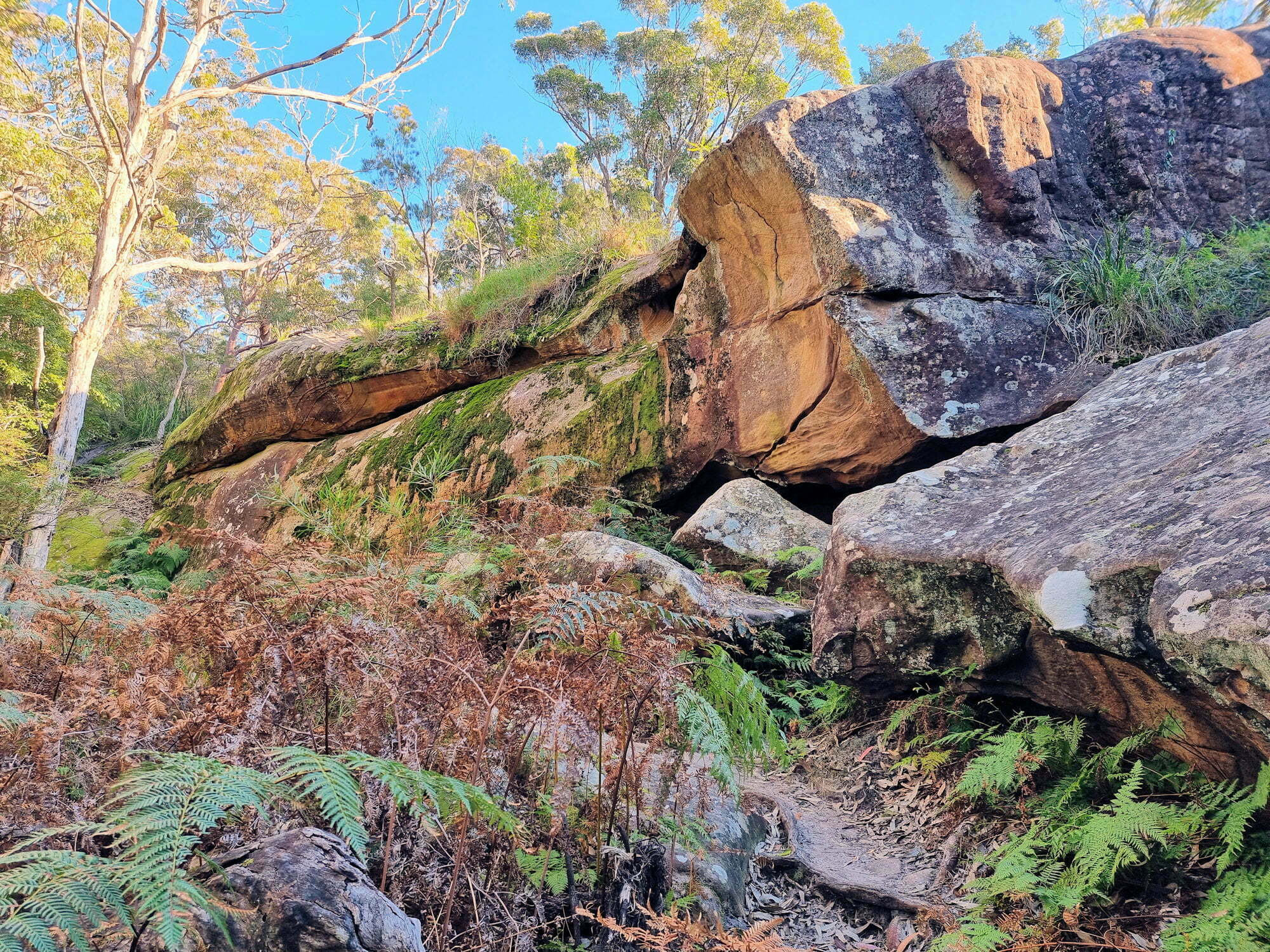
Heading uphill, the first section of the track is steep and rocky in places, but with amazing views of the surrounding mountains. Little piles of stones mark the way, and the track had recently been cleared, so it was easy to follow. Along the way we passed small rock overhangs and tiny caves, but didn’t see anything inside.

At the top of the hill you are rewarded with views over the forest, river and out to Mystery Mountain. After recovering from the uphill walk, we set off for the return leg, which was all downhill.

The Return Leg

Walking past the ruins of the manager’s house all we saw were old brick stairs, but not far away were two old Zephyr cars. A manager left them here and after several bushfires and forest regrowth they are rusty wrecks surrounded by trees.

This was a great walk with views through trees to the mountains, old ruins and rusty cars. With more time we would have added the Hidden Valley walk, but will do that on our next visit.

School Ruins Walk

Starting behind the cabins, this short walk takes you through trees and across a small creek to what is left of the old school. Time, weather, and bushfires have left only brick chimneys and scattered bricks to show where the school once stood. It was hard to imagine that a small town once stood here that required a school, when there is so little of it left.

What Did We Think?

We loved it here and could have stayed longer, because there are so many more walks to do. We would have liked to the walk to Hidden Valley and the Glow Worm Tunnels, but just didn’t have the time. With the old industrial ruins, great bush walking and amazing accommodation, this was a great visit.

To see what else there is to do in New South Wales, please see some of our other stories.

Our photos are available for purchase on

Mungo Rainforest Walk Myall Lakes

The Lake shore at Dees Campground

Mungo Rainforest Walk Myall Lakes

Set in the Myall Lakes National Park New South Wales Australia, the Mungo Rainforest Walk is an easy 1.5km walk near the lake shore.

Getting There

A 45 minutes car trip from Bulahdelah will take you via the Bombah Point Ferry. Running every 30 minutes the ferry cost us $5.50 (in April 2022) for a car. They take cash only as they have no eftpos facilities. Caravans cost more and the ferry only takes six cars at a time. We haven’t used this ferry before so that added something extra to the day. If you don’t want to use this option, driving via Hawks Nest will add 40km to the trip.

We parked at Mungo Brush Campground, although you could park at Dees Corner Campground, because the walk is a loop. The area is managed by New South Wales Parks and Wildlife, so an entry fee is payable.

The Track

Starting at Mungo Brush Campground, the track heads into the forest, where we found an information board. This showed the track and detailed animals and birds we might see. The blue area crossed by the track is a depression that floods in wet weather. Fortunately, an alternate path is available, which we had to use because of recent rain.

The Rainforest

The track loops through the rainforest which consists of cabbage tree palms and coastal rainforest trees. At times it gets close to the lake where you are able to see the trees growing into the lake shore. Generally flat, the track was well maintained and apart from stepping over tree roots did not have many obstacles.

Track to Dees Corner Campground

The track comes to a T-intersection, pointing to the wet or dry weather tracks. If you want to see Dees Corner, take the dry weather track (it’s dry to Dees Corner). I would suggest wearing walking boots to cater for what ever conditions you come across.

Wet and Dry Weather Sign

Dees Corner Campground

Following the dry weather track takes you to the campground which was closed when we visited due to storm damage. This is a great little area with the gum trees growing down and into the lake.

From here you can take the track back to Mungo Brush.

What Did We Think?

This was a great little walk. Flat, and easy going with lots of rainforest and lake views to see.

To see what else there is to do in New South Wales, please see some of our other stories.

Our photos are available for purchase on